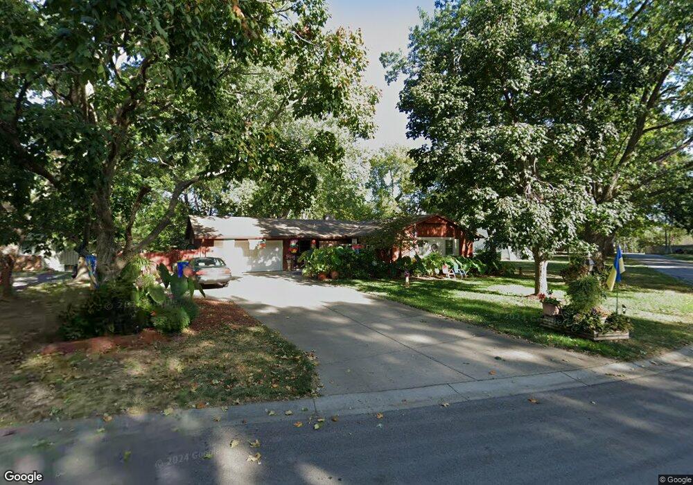
5311 Barton Dr Shawnee, KS 66203
Estimated Value: $320,000 - $332,367
3
Beds
3
Baths
1,293
Sq Ft
$253/Sq Ft
Est. Value
About This Home
This home is located at 5311 Barton Dr, Shawnee, KS 66203 and is currently estimated at $327,342, approximately $253 per square foot. 5311 Barton Dr is a home located in Johnson County with nearby schools including Bluejacket / Flint Elementary, Hocker Grove Middle School, and Shawnee Mission North High School.
Ownership History
Date
Name
Owned For
Owner Type
Purchase Details
Closed on
Feb 22, 2008
Sold by
Stempel O Lucille and Wood Jan Elaine
Bought by
Parmiter James E
Current Estimated Value
Home Financials for this Owner
Home Financials are based on the most recent Mortgage that was taken out on this home.
Original Mortgage
$159,864
Outstanding Balance
$97,225
Interest Rate
5.47%
Mortgage Type
VA
Estimated Equity
$230,117
Create a Home Valuation Report for This Property
The Home Valuation Report is an in-depth analysis detailing your home's value as well as a comparison with similar homes in the area
Home Values in the Area
Average Home Value in this Area
Purchase History
| Date | Buyer | Sale Price | Title Company |
|---|---|---|---|
| Parmiter James E | -- | First Ameican Title Ins Co |
Source: Public Records
Mortgage History
| Date | Status | Borrower | Loan Amount |
|---|---|---|---|
| Open | Parmiter James E | $159,864 |
Source: Public Records
Tax History Compared to Growth
Tax History
| Year | Tax Paid | Tax Assessment Tax Assessment Total Assessment is a certain percentage of the fair market value that is determined by local assessors to be the total taxable value of land and additions on the property. | Land | Improvement |
|---|---|---|---|---|
| 2024 | $3,656 | $34,673 | $6,033 | $28,640 |
| 2023 | $3,751 | $35,006 | $5,482 | $29,524 |
| 2022 | $3,071 | $28,578 | $4,981 | $23,597 |
| 2021 | $2,964 | $25,806 | $4,332 | $21,474 |
| 2020 | $2,843 | $24,426 | $3,940 | $20,486 |
| 2019 | $2,731 | $23,437 | $3,757 | $19,680 |
| 2018 | $2,305 | $21,401 | $3,757 | $17,644 |
| 2017 | $2,377 | $19,987 | $3,414 | $16,573 |
| 2016 | $2,315 | $19,216 | $3,414 | $15,802 |
| 2015 | $2,105 | $18,204 | $3,414 | $14,790 |
| 2013 | -- | $16,801 | $3,414 | $13,387 |
Source: Public Records
Map
Nearby Homes
- 5308 Mcanany Dr
- 11403 W 51st Terrace
- 11002 W 55th Terrace
- 11815 W 53rd St
- The Fleetwood Plan at Bristol Highlands - The Villas
- The Fleetwood Plan at Bristol Highlands - The Manors
- The Kirkwood Plan at Bristol Highlands - The Villas
- 8013 Payne St
- The Rockwood Plan at Bristol Highlands - The Villas
- 10511 W 49th Place
- 5407 Halsey St
- 10116 W 52nd Terrace
- 11907 W 49th Place
- 13126 W 52nd Terrace
- 13134 W 52nd Terrace
- 13130 W 52nd Terrace
- 5504 Monrovia St
- 9929 W 52nd St
- 0 W 49th St
- 12508 W 56th St
- 5305 Barton Dr
- 5306 Nieman Rd
- 5247 Barton Dr
- 5318 Mcanany Dr
- 5314 Mcanany Dr
- 5246 Nieman Rd
- 5324 Nieman Rd
- 5239 Barton Dr
- 5310 Mcanany Dr
- 5317 Mcanany Dr
- 5240 Barton Dr
- 11120 W 54th St
- 5238 Nieman Rd
- 5233 Barton Dr
- 11104 W 54th St
- 11202 W 54th St
- 5234 Barton Dr
- 5313 Nieman Rd
- 11013 W 53rd St
- 5234 Nieman Rd