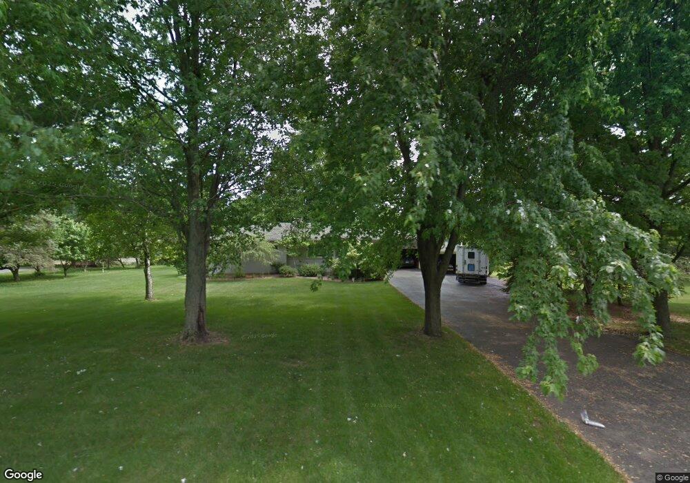
5311 Pratt Rd Ann Arbor, MI 48103
Abbot NeighborhoodEstimated Value: $450,617 - $506,000
--
Bed
1
Bath
1,402
Sq Ft
$342/Sq Ft
Est. Value
About This Home
This home is located at 5311 Pratt Rd, Ann Arbor, MI 48103 and is currently estimated at $479,904, approximately $342 per square foot. 5311 Pratt Rd is a home located in Washtenaw County with nearby schools including Abbot Elementary School, Forsythe Middle School, and Skyline High School.
Ownership History
Date
Name
Owned For
Owner Type
Purchase Details
Closed on
Apr 18, 2019
Sold by
Hinton Susan R and Hinton William A
Bought by
Hinton Susan R and Carlson Kristin
Current Estimated Value
Purchase Details
Closed on
Aug 30, 2018
Sold by
Hinton Susan R and Hinton William A
Bought by
Hinton Orbert A
Purchase Details
Closed on
Dec 27, 2017
Sold by
Hinton William A and Hinton Susan R
Bought by
Hinton William A and Hinton Susan R
Create a Home Valuation Report for This Property
The Home Valuation Report is an in-depth analysis detailing your home's value as well as a comparison with similar homes in the area
Home Values in the Area
Average Home Value in this Area
Purchase History
| Date | Buyer | Sale Price | Title Company |
|---|---|---|---|
| Hinton Susan R | -- | None Available | |
| Hinton Orbert A | -- | Sun Title Agency Of Michigan | |
| Hinton William A | -- | None Available |
Source: Public Records
Tax History Compared to Growth
Tax History
| Year | Tax Paid | Tax Assessment Tax Assessment Total Assessment is a certain percentage of the fair market value that is determined by local assessors to be the total taxable value of land and additions on the property. | Land | Improvement |
|---|---|---|---|---|
| 2025 | $3,369 | $227,700 | $0 | $0 |
| 2024 | $3,289 | $211,000 | $0 | $0 |
| 2023 | $3,160 | $166,000 | $0 | $0 |
| 2022 | $4,451 | $168,500 | $0 | $0 |
| 2021 | $4,234 | $165,600 | $0 | $0 |
| 2020 | $4,335 | $161,800 | $0 | $0 |
| 2019 | $4,007 | $151,200 | $151,200 | $0 |
| 2018 | $3,902 | $145,000 | $0 | $0 |
| 2017 | $3,762 | $132,300 | $0 | $0 |
| 2016 | $2,627 | $103,280 | $0 | $0 |
| 2015 | -- | $102,972 | $0 | $0 |
| 2014 | -- | $99,755 | $0 | $0 |
| 2013 | -- | $99,755 | $0 | $0 |
Source: Public Records
Map
Nearby Homes
- 5183 Christine Dr
- 5185 Christine Dr
- 139 Luella Ave
- 5535 Arbor Chase Dr
- 5610 Arbor Chase Dr
- 283 S Zeeb Rd Unit 212
- 286 Silver Oak St
- 343 Honey Tree Way Unit 156
- 5967 Cedar Ridge Dr
- 4870 Lytham Ln
- 274 Silver Oak St
- 6167 N Trailwoods Dr
- 6207 N Trailwoods Dr
- 6112 N Trailwoods Dr
- 6151 N Trailwoods Dr
- 5620 Le Blanc Ave
- 5717 Villa France Ave Unit 78
- 4977 Saint Annes
- 413 Blossom Dr
- The Harrison Plan at Trailwoods of Ann Arbor
- 5253 Pratt Rd
- 802 Stonegate Rd
- 640 Adrienne Ln
- 852 Stonegate Rd
- 1035 Harold Cir
- 1045 Harold Cir
- 5215 Pratt Rd
- 736 Stonegate Rd
- 1055 Harold Cir
- 622 Adrienne Ln
- 1010 Wing Dr
- 0 Harold Cir
- 5431 Pratt Rd
- 825 Stonegate Rd
- 1065 Harold Cir
- 604 Adrienne Ln
- 1020 Wing Dr
- 5199 Pratt Rd
- 1033 Wing Dr
- 671 Adrienne Ln
