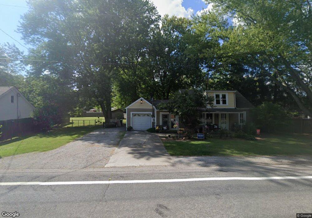
5311 State Route 123 Morrow, OH 45152
Salem Township NeighborhoodEstimated Value: $202,188 - $258,000
3
Beds
1
Bath
1,327
Sq Ft
$168/Sq Ft
Est. Value
About This Home
This home is located at 5311 State Route 123, Morrow, OH 45152 and is currently estimated at $223,047, approximately $168 per square foot. 5311 State Route 123 is a home located in Warren County with nearby schools including Little Miami High School.
Ownership History
Date
Name
Owned For
Owner Type
Purchase Details
Closed on
Jan 9, 1998
Sold by
United Companies Lending
Bought by
Howard Kathleen A
Current Estimated Value
Home Financials for this Owner
Home Financials are based on the most recent Mortgage that was taken out on this home.
Original Mortgage
$69,350
Outstanding Balance
$12,164
Interest Rate
7.26%
Mortgage Type
FHA
Estimated Equity
$210,883
Purchase Details
Closed on
Aug 27, 1997
Sold by
Howard Doffie
Bought by
United Companies Lending Corp
Purchase Details
Closed on
Feb 23, 1994
Sold by
Isaacs Floyd T and Isaacs Kathry
Bought by
Howard and Howard Doffie
Create a Home Valuation Report for This Property
The Home Valuation Report is an in-depth analysis detailing your home's value as well as a comparison with similar homes in the area
Home Values in the Area
Average Home Value in this Area
Purchase History
| Date | Buyer | Sale Price | Title Company |
|---|---|---|---|
| Howard Kathleen A | $69,000 | -- | |
| United Companies Lending Corp | $52,000 | -- | |
| Howard | $64,000 | -- |
Source: Public Records
Mortgage History
| Date | Status | Borrower | Loan Amount |
|---|---|---|---|
| Open | Howard Kathleen A | $69,350 |
Source: Public Records
Tax History Compared to Growth
Tax History
| Year | Tax Paid | Tax Assessment Tax Assessment Total Assessment is a certain percentage of the fair market value that is determined by local assessors to be the total taxable value of land and additions on the property. | Land | Improvement |
|---|---|---|---|---|
| 2024 | $2,092 | $46,480 | $17,650 | $28,830 |
| 2023 | $1,841 | $36,452 | $10,853 | $25,599 |
| 2022 | $1,822 | $36,453 | $10,854 | $25,599 |
| 2021 | $1,741 | $36,453 | $10,854 | $25,599 |
| 2020 | $1,663 | $29,635 | $8,824 | $20,811 |
| 2019 | $1,692 | $29,635 | $8,824 | $20,811 |
| 2018 | $1,720 | $29,635 | $8,824 | $20,811 |
| 2017 | $1,628 | $27,493 | $7,879 | $19,614 |
| 2016 | $1,661 | $27,493 | $7,879 | $19,614 |
| 2015 | $1,556 | $27,493 | $7,879 | $19,614 |
| 2014 | $1,737 | $27,490 | $7,880 | $19,610 |
| 2013 | $1,708 | $30,790 | $8,820 | $21,970 |
Source: Public Records
Map
Nearby Homes
- 5323 US Rt 22 & 3
- 5467 Morrow-Blackhawk Rd
- 6448 Cooper Grace Ln
- 3172 Sage Ct
- 5688 Alpine Heights Dr
- Aspen with Included Basement Plan at Woodlands at Morrow
- Tupelo with Included Basement Plan at Woodlands at Morrow
- Cedar with Included Basement Plan at Woodlands at Morrow
- Birch with Included Basement Plan at Woodlands at Morrow
- Hazel with Included Basement Plan at Woodlands at Morrow
- 4921 Jessica Suzanne Dr
- 251 Westview Dr
- 5168 Allens Ridge Dr
- 4836 Jessica Suzanne Dr
- 350 2nd St
- 5143 Sullivans Ridge Dr
- 3155 Rosemary Ct Unit Lot 94
- 3155 Rosemary Ct
- 4813 Allens Ridge Dr
- 5700 Anne Marie Dr
- 5327 State Route 123
- 5293 S State Route 123
- 5182 Salem Rd
- 5283 S St Rt 123
- 5298 State Route 123
- 5353 State Route 123
- 5353 St Rt 123
- 5218 Salem Rd
- 5200 Salem Rd
- 5340 State Route 123
- 5282 State Route 123
- 5236 Salem Rd
- 5162 Salem Rd
- 5375 State Route 123
- 5375 S State Route 123
- 5148 Salem Rd
- 5372 State Route 123
- 5261 S State Route 123
- 5268 Ohio 123
- 5268 S St Rt 123