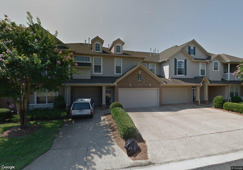
5319 Deford Rd Virginia Beach, VA 23455
Bayside NeighborhoodEstimated Value: $325,000 - $356,000
3
Beds
2
Baths
1,439
Sq Ft
$236/Sq Ft
Est. Value
About This Home
This home is located at 5319 Deford Rd, Virginia Beach, VA 23455 and is currently estimated at $339,201, approximately $235 per square foot. 5319 Deford Rd is a home located in Virginia Beach City with nearby schools including Luxford Elementary School, Bayside 6th Grade Campus, and Bayside High School.
Ownership History
Date
Name
Owned For
Owner Type
Purchase Details
Closed on
Dec 20, 1999
Sold by
Cypress Point Group L L C
Bought by
Potter Robert H
Current Estimated Value
Home Financials for this Owner
Home Financials are based on the most recent Mortgage that was taken out on this home.
Original Mortgage
$85,000
Outstanding Balance
$26,509
Interest Rate
7.81%
Estimated Equity
$312,692
Create a Home Valuation Report for This Property
The Home Valuation Report is an in-depth analysis detailing your home's value as well as a comparison with similar homes in the area
Home Values in the Area
Average Home Value in this Area
Purchase History
| Date | Buyer | Sale Price | Title Company |
|---|---|---|---|
| Potter Robert H | $135,000 | -- |
Source: Public Records
Mortgage History
| Date | Status | Borrower | Loan Amount |
|---|---|---|---|
| Open | Potter Robert H | $85,000 |
Source: Public Records
Tax History Compared to Growth
Tax History
| Year | Tax Paid | Tax Assessment Tax Assessment Total Assessment is a certain percentage of the fair market value that is determined by local assessors to be the total taxable value of land and additions on the property. | Land | Improvement |
|---|---|---|---|---|
| 2025 | $2,868 | $309,000 | $140,000 | $169,000 |
| 2024 | $2,868 | $295,700 | $140,000 | $155,700 |
| 2023 | $2,674 | $270,100 | $115,000 | $155,100 |
| 2022 | $2,442 | $246,700 | $99,000 | $147,700 |
| 2021 | $2,201 | $222,300 | $82,000 | $140,300 |
| 2020 | $2,157 | $212,000 | $82,000 | $130,000 |
| 2019 | $2,088 | $200,800 | $82,000 | $118,800 |
| 2018 | $2,013 | $200,800 | $82,000 | $118,800 |
| 2017 | $2,036 | $203,100 | $80,000 | $123,100 |
| 2016 | $1,940 | $196,000 | $80,000 | $116,000 |
| 2015 | $1,964 | $198,400 | $80,000 | $118,400 |
| 2014 | $1,742 | $194,000 | $83,000 | $111,000 |
Source: Public Records
Map
Nearby Homes
- 5344 Charmont Ct
- 5329 Warminster Dr Unit 202
- 5321 Warminster Dr Unit 306
- 5321 Warminster Dr Unit 302
- 5324 Charmont Ct Unit 297
- 5317 Brookstone Ln
- 1017 Farrcroft Way
- 1027 Backwoods Rd
- 1015 Backwoods Rd
- 5229 Ordsall Place
- 932 Southmoor Dr Unit 203
- 5209 Elston Ln
- 1133 Broadholme Place
- 912 Southmoor Dr Unit 303
- 900 Southmoor Dr Unit 103
- 900 Southmoor Dr Unit 105
- 5113 Elsie Dr
- 1121 Knights Bridge Ln
- 5204 Shepparton Way
- 5024 Hawkins Mill Way
- 5323 Deford Rd
- 5321 Deford Rd
- 5325 Deford Rd
- 5317 Deford Rd
- 5315 Deford Rd
- 5320 Deford Rd
- 5318 Deford Rd Unit X3740
- 5318 Deford Rd Unit X3741
- 5318 Deford Rd
- 5309 Deford Rd
- 5324 Deford Rd
- 5343 Deford Rd
- 5345 Deford Rd
- 5345 Deford Rd Unit 2673
- 5316 Deford Rd
- 5314 Deford Rd
- 5330 Deford Rd
- 5322 Deford Rd
- 5307 Deford Rd
- 1020 Grand Oak Ln