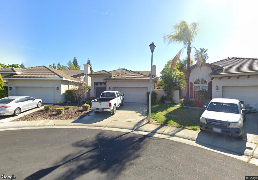
5319 Eddy Ct Rocklin, CA 95765
Stanford Ranch NeighborhoodEstimated Value: $457,000 - $549,000
3
Beds
2
Baths
1,343
Sq Ft
$388/Sq Ft
Est. Value
About This Home
This home is located at 5319 Eddy Ct, Rocklin, CA 95765 and is currently estimated at $520,738, approximately $387 per square foot. 5319 Eddy Ct is a home located in Placer County with nearby schools including Breen Elementary, Granite Oaks Middle, and Rocklin High.
Ownership History
Date
Name
Owned For
Owner Type
Purchase Details
Closed on
Sep 3, 2004
Sold by
Sorum David R
Bought by
Sorum David R
Current Estimated Value
Purchase Details
Closed on
Apr 18, 2000
Sold by
Lennar Renaissance Inc
Bought by
Sorum David R
Home Financials for this Owner
Home Financials are based on the most recent Mortgage that was taken out on this home.
Original Mortgage
$119,200
Outstanding Balance
$40,867
Interest Rate
8.24%
Mortgage Type
Purchase Money Mortgage
Estimated Equity
$479,871
Create a Home Valuation Report for This Property
The Home Valuation Report is an in-depth analysis detailing your home's value as well as a comparison with similar homes in the area
Home Values in the Area
Average Home Value in this Area
Purchase History
| Date | Buyer | Sale Price | Title Company |
|---|---|---|---|
| Sorum David R | -- | -- | |
| Sorum David R | $181,000 | North American Title Guarant |
Source: Public Records
Mortgage History
| Date | Status | Borrower | Loan Amount |
|---|---|---|---|
| Open | Sorum David R | $119,200 |
Source: Public Records
Tax History Compared to Growth
Tax History
| Year | Tax Paid | Tax Assessment Tax Assessment Total Assessment is a certain percentage of the fair market value that is determined by local assessors to be the total taxable value of land and additions on the property. | Land | Improvement |
|---|---|---|---|---|
| 2025 | $3,802 | $322,681 | $110,647 | $212,034 |
| 2023 | $3,802 | $310,152 | $106,351 | $203,801 |
| 2022 | $3,664 | $304,071 | $104,266 | $199,805 |
| 2021 | $4,677 | $298,110 | $102,222 | $195,888 |
| 2020 | $4,630 | $295,054 | $101,174 | $193,880 |
| 2019 | $4,543 | $289,270 | $99,191 | $190,079 |
| 2018 | $4,439 | $283,599 | $97,247 | $186,352 |
| 2017 | $4,368 | $278,040 | $95,341 | $182,699 |
| 2016 | $4,268 | $272,589 | $93,472 | $179,117 |
| 2015 | $4,190 | $268,495 | $92,068 | $176,427 |
| 2014 | $4,671 | $263,237 | $90,265 | $172,972 |
Source: Public Records
Map
Nearby Homes
- 2711 San Miguel Ct
- 2712 Ashland Ct
- 5704 Byron Ct
- 5030 Charter Rd
- 4834 Blaydon Rd
- 5631 Grand View Ct
- 2024 Archer Cir
- 5636 Darby Rd
- 5028 Bradford Dr
- 5112 Stratton Ct
- 1914 Harvest Ct
- 5651 Blackrock Rd
- 3203 Thistle Ct
- 4362 Newland Heights Dr
- 817 Stage Stop Loop
- 980 Dusty Stone Loop
- 1707 Poppy Dr
- 2408 Galloping Trail Ct
- 3456 Hidden Ranch Loop
- 2617 Hoofbeat Ct