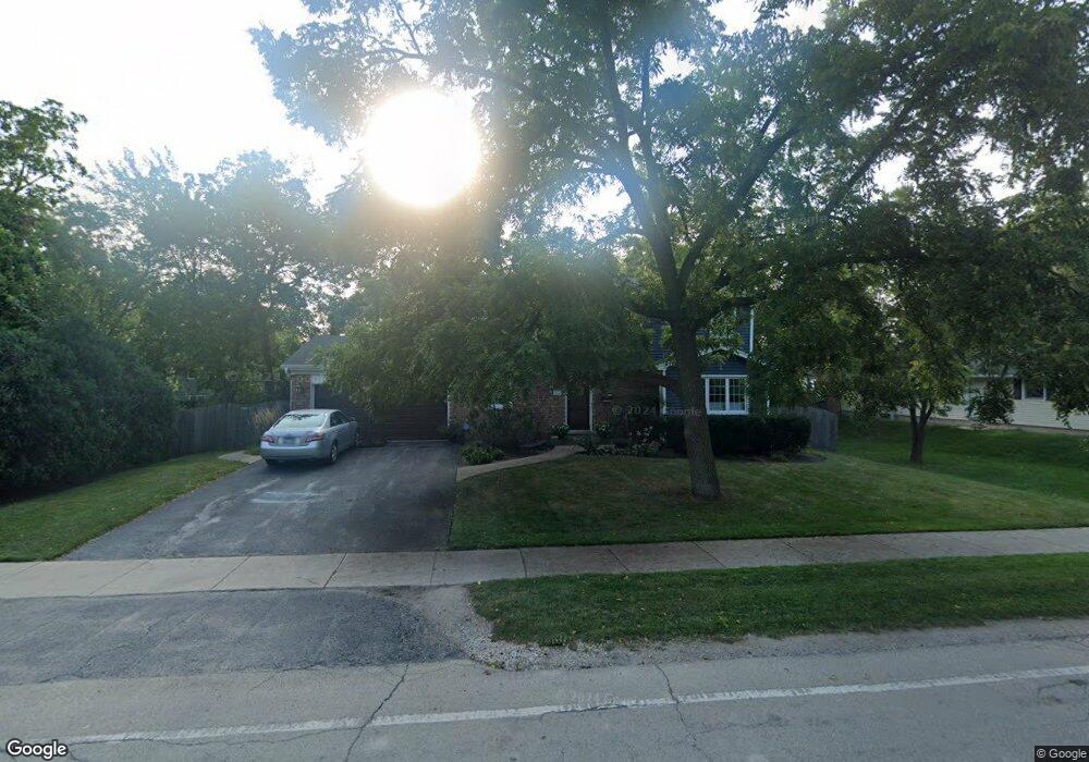
532 Elm St Deerfield, IL 60015
Estimated Value: $567,000 - $628,000
3
Beds
3
Baths
1,852
Sq Ft
$320/Sq Ft
Est. Value
About This Home
This home is located at 532 Elm St, Deerfield, IL 60015 and is currently estimated at $593,241, approximately $320 per square foot. 532 Elm St is a home located in Lake County with nearby schools including Kipling Elementary School, Alan B Shepard Middle School, and Deerfield High School.
Ownership History
Date
Name
Owned For
Owner Type
Purchase Details
Closed on
Jun 29, 2007
Sold by
Gardner Mark R and Gardner Mary S
Bought by
Gardner Mark R and Gardner Mary S
Current Estimated Value
Home Financials for this Owner
Home Financials are based on the most recent Mortgage that was taken out on this home.
Original Mortgage
$384,000
Interest Rate
6.42%
Mortgage Type
Stand Alone Refi Refinance Of Original Loan
Create a Home Valuation Report for This Property
The Home Valuation Report is an in-depth analysis detailing your home's value as well as a comparison with similar homes in the area
Home Values in the Area
Average Home Value in this Area
Purchase History
| Date | Buyer | Sale Price | Title Company |
|---|---|---|---|
| Gardner Mark R | -- | Service Link |
Source: Public Records
Mortgage History
| Date | Status | Borrower | Loan Amount |
|---|---|---|---|
| Closed | Gardner Mark R | $384,000 |
Source: Public Records
Tax History
| Year | Tax Paid | Tax Assessment Tax Assessment Total Assessment is a certain percentage of the fair market value that is determined by local assessors to be the total taxable value of land and additions on the property. | Land | Improvement |
|---|---|---|---|---|
| 2024 | $13,092 | $161,586 | $55,683 | $105,903 |
| 2023 | $16,043 | $155,073 | $53,439 | $101,634 |
| 2022 | $16,043 | $180,305 | $57,400 | $122,905 |
| 2021 | $15,117 | $173,838 | $55,341 | $118,497 |
| 2020 | $14,540 | $174,203 | $55,457 | $118,746 |
| 2019 | $14,212 | $173,907 | $55,363 | $118,544 |
| 2018 | $14,270 | $176,488 | $58,680 | $117,808 |
| 2017 | $14,156 | $175,925 | $58,493 | $117,432 |
| 2016 | $13,765 | $169,272 | $56,281 | $112,991 |
| 2015 | $13,481 | $159,046 | $52,881 | $106,165 |
| 2014 | $12,062 | $140,988 | $53,260 | $87,728 |
| 2012 | $11,771 | $139,744 | $52,790 | $86,954 |
Source: Public Records
Map
Nearby Homes
- 429 Elm St Unit 5J
- 627 Grove Ave
- 402 Locust Place
- 501 Kelburn Rd
- 673 Central Ave
- 937 Fountain View Dr
- 617 Waukegan Rd
- 525 Mallard Ln
- 555 Longfellow Ave
- 362 Kelburn Rd Unit 324
- 534 Hermitage Dr
- 1155 Hackberry Rd
- 453 Longfellow Ave
- 757 Kipling Place
- 944 Rosemary Terrace
- 1327 Central Ave
- 1030 Chestnut St
- 1246 Laurel Ave
- 742 Pine St
- 1032 Sheridan Ave
Your Personal Tour Guide
Ask me questions while you tour the home.