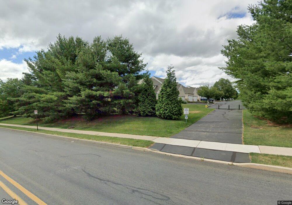
532 Parkside Ct Allentown, PA 18104
West End Allentown NeighborhoodEstimated Value: $508,813 - $700,000
3
Beds
3
Baths
2,345
Sq Ft
$245/Sq Ft
Est. Value
About This Home
This home is located at 532 Parkside Ct, Allentown, PA 18104 and is currently estimated at $574,953, approximately $245 per square foot. 532 Parkside Ct is a home located in Lehigh County with nearby schools including Cetronia Elementary School, Springhouse Middle School, and Parkland High School.
Ownership History
Date
Name
Owned For
Owner Type
Purchase Details
Closed on
Jul 30, 2002
Sold by
The Harlan Corp
Bought by
Moatz Robert N and Yanolko Moatz Lisa A
Current Estimated Value
Home Financials for this Owner
Home Financials are based on the most recent Mortgage that was taken out on this home.
Original Mortgage
$238,460
Interest Rate
6.64%
Mortgage Type
Purchase Money Mortgage
Purchase Details
Closed on
Oct 10, 1995
Bought by
Trexler Development Assoc Inc
Create a Home Valuation Report for This Property
The Home Valuation Report is an in-depth analysis detailing your home's value as well as a comparison with similar homes in the area
Home Values in the Area
Average Home Value in this Area
Purchase History
| Date | Buyer | Sale Price | Title Company |
|---|---|---|---|
| Moatz Robert N | $298,075 | -- | |
| Trexler Development Assoc Inc | $1,750,000 | -- |
Source: Public Records
Mortgage History
| Date | Status | Borrower | Loan Amount |
|---|---|---|---|
| Previous Owner | Moatz Robert N | $238,460 |
Source: Public Records
Tax History Compared to Growth
Tax History
| Year | Tax Paid | Tax Assessment Tax Assessment Total Assessment is a certain percentage of the fair market value that is determined by local assessors to be the total taxable value of land and additions on the property. | Land | Improvement |
|---|---|---|---|---|
| 2025 | $8,509 | $301,900 | $43,200 | $258,700 |
| 2024 | $8,261 | $301,900 | $43,200 | $258,700 |
| 2023 | $8,110 | $301,900 | $43,200 | $258,700 |
| 2022 | $6,916 | $301,900 | $258,700 | $43,200 |
| 2021 | $6,916 | $301,900 | $43,200 | $258,700 |
| 2020 | $6,916 | $301,900 | $43,200 | $258,700 |
| 2019 | $6,787 | $301,900 | $43,200 | $258,700 |
| 2018 | $6,563 | $301,900 | $43,200 | $258,700 |
| 2017 | $6,337 | $301,900 | $43,200 | $258,700 |
| 2016 | -- | $301,900 | $43,200 | $258,700 |
| 2015 | -- | $301,900 | $43,200 | $258,700 |
| 2014 | -- | $301,900 | $43,200 | $258,700 |
Source: Public Records
Map
Nearby Homes
- 515 N 41st St
- 520 N 41st St
- 751 Benner Rd
- 610 N 41st St
- 19 Spring Wood Dr
- 717 Dorset Rd Unit C3
- 3735 W Washington St
- 3609 Dorney Park Rd
- 3908 Short Hill Dr
- 930 Springhouse Rd
- 29 S Scenic St
- 4222 W Chew St
- 81 S Cedar Crest Blvd
- 747 N 31 St St
- 4218 Windsor Dr
- 232 S 33rd St
- 3066 W Whitehall St Unit 3072
- 3322 W Highland St
- 4124 Emerson Ln
- 3065 W Whitehall St
- 534 Parkside Ct
- 536 Parkside Ct
- 528 Parkside Ct
- 526 Parkside Ct
- 524 Parkside Ct
- 542 Parkside Ct
- 544 Parkside Ct
- 522 Parkside Ct
- 527 Parkside Ct
- 546 Parkside Ct
- 525 Parkside Ct
- 548 Parkside Ct
- 523 Parkside Ct
- 521 Parkside Ct
- 551 Parkside Ct
- 553 Parkside Ct
- 518 Parkside Ct
- 552 Parkside Ct
- 516 Parkside Ct
- 514 Parkside Ct
