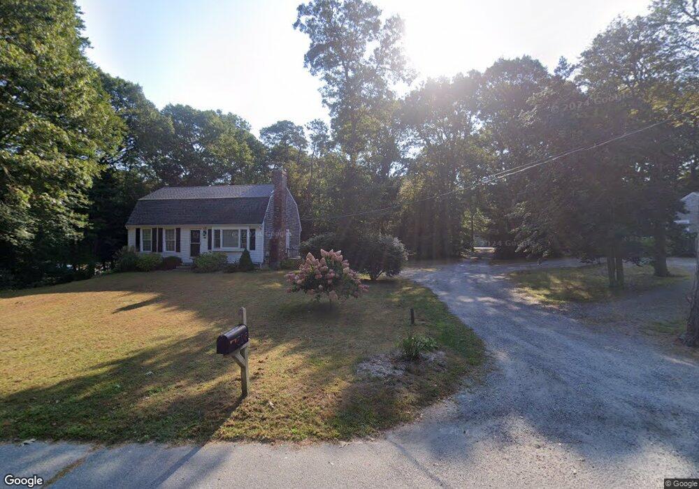
532 Skunknet Rd Centerville, MA 02632
Centerville NeighborhoodEstimated Value: $532,000 - $617,000
2
Beds
1
Bath
800
Sq Ft
$704/Sq Ft
Est. Value
About This Home
This home is located at 532 Skunknet Rd, Centerville, MA 02632 and is currently estimated at $563,415, approximately $704 per square foot. 532 Skunknet Rd is a home located in Barnstable County with nearby schools including Barnstable United Elementary School, Centerville Elementary School, and Barnstable Intermediate School.
Ownership History
Date
Name
Owned For
Owner Type
Purchase Details
Closed on
Jun 24, 1998
Sold by
Davies George K and Davies Susan H
Bought by
Ashley Lisa A
Current Estimated Value
Home Financials for this Owner
Home Financials are based on the most recent Mortgage that was taken out on this home.
Original Mortgage
$97,350
Interest Rate
7.09%
Mortgage Type
Purchase Money Mortgage
Create a Home Valuation Report for This Property
The Home Valuation Report is an in-depth analysis detailing your home's value as well as a comparison with similar homes in the area
Home Values in the Area
Average Home Value in this Area
Purchase History
| Date | Buyer | Sale Price | Title Company |
|---|---|---|---|
| Ashley Lisa A | $102,500 | -- |
Source: Public Records
Mortgage History
| Date | Status | Borrower | Loan Amount |
|---|---|---|---|
| Open | Ashley Lisa A | $196,000 | |
| Closed | Ashley Lisa A | $10,000 | |
| Closed | Ashley Lisa A | $97,350 | |
| Previous Owner | Ashley Lisa A | $32,000 |
Source: Public Records
Tax History
| Year | Tax Paid | Tax Assessment Tax Assessment Total Assessment is a certain percentage of the fair market value that is determined by local assessors to be the total taxable value of land and additions on the property. | Land | Improvement |
|---|---|---|---|---|
| 2025 | $3,363 | $415,700 | $156,200 | $259,500 |
| 2024 | $3,137 | $401,700 | $156,200 | $245,500 |
| 2023 | $2,998 | $359,500 | $142,000 | $217,500 |
| 2022 | $2,794 | $289,800 | $105,200 | $184,600 |
| 2021 | $2,771 | $264,200 | $105,200 | $159,000 |
| 2020 | $2,833 | $258,500 | $105,200 | $153,300 |
| 2019 | $2,723 | $241,400 | $105,200 | $136,200 |
| 2018 | $2,538 | $226,200 | $110,700 | $115,500 |
| 2017 | $2,271 | $211,100 | $110,700 | $100,400 |
| 2016 | $2,312 | $212,100 | $111,700 | $100,400 |
| 2015 | $2,229 | $205,400 | $109,300 | $96,100 |
Source: Public Records
Map
Nearby Homes
- 51 Larch Ln
- 200 Lumbert Mill Rd
- 315 Prince Hinckley Rd
- 53 Meadow Farm Rd
- 296 Buckskin Path
- 52 Meadow Farm Rd
- 103 Pine Tree Dr
- 7 Ebenezer
- 82 Yacht Club Rd
- 19 Marrick Ct
- 900 Old Stage Rd
- 87 Foxglove Rd
- 351 Swift Ave
- 1028 Old Falmouth Rd
- 40 Sachem Dr
- 156 S Main St
- 369 Bumps River Rd
- 12 S Cedar Rd
- 66 Tern Ln
- 62 Three Ponds Dr
- 536 Skunknet Rd
- 516 Skunknet Rd
- 542 Skunknet Rd
- 560 Skunknet Rd
- 554 Skunknet Rd
- 502 Skunknet Rd
- 201 Taramac Rd
- 191 Taramac Rd
- 562 Skunknet Rd
- 221 Donegal Cir
- 568 Skunknet Rd
- 559 Skunknet Rd
- 492 Skunknet Rd
- 499 Skunknet Rd
- 8 Natka Dr
- 207 Donegal Cir
- 578 Skunknet Rd
- 584 Skunknet Rd
- 569 Skunknet Rd
- 179 Taramac Rd
Your Personal Tour Guide
Ask me questions while you tour the home.