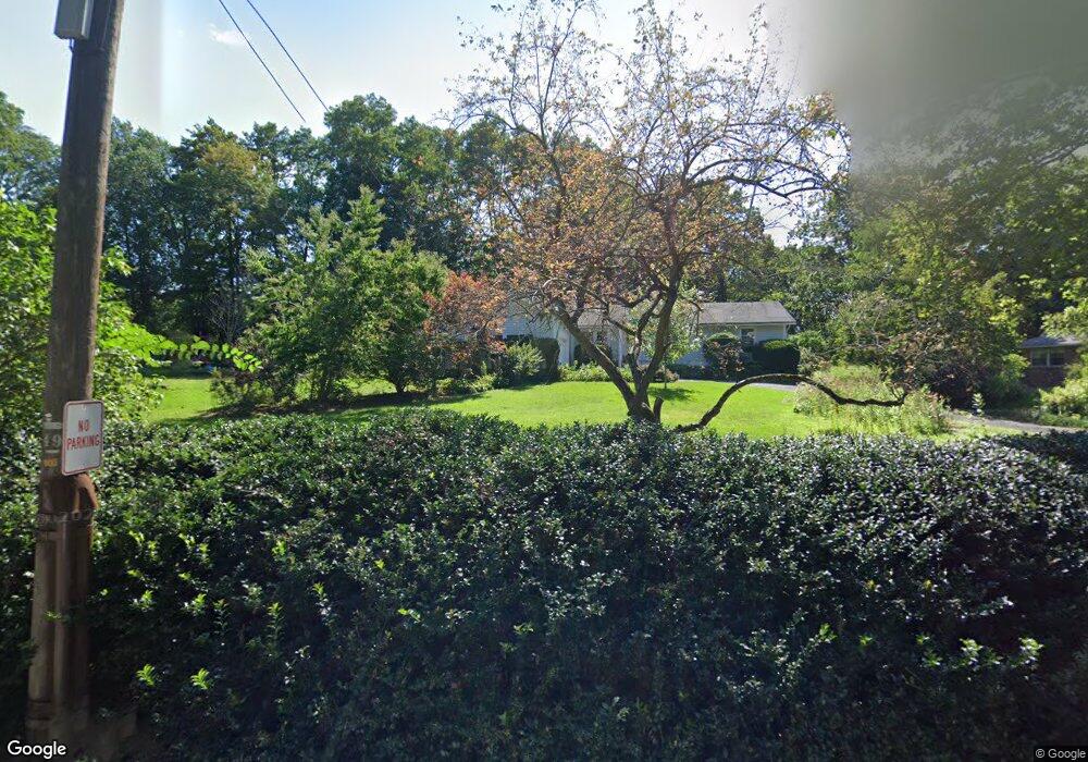
532 Thoreau St Concord, MA 01742
Estimated Value: $1,217,681 - $1,463,000
3
Beds
3
Baths
1,855
Sq Ft
$738/Sq Ft
Est. Value
About This Home
This home is located at 532 Thoreau St, Concord, MA 01742 and is currently estimated at $1,369,170, approximately $738 per square foot. 532 Thoreau St is a home located in Middlesex County with nearby schools including Alcott Elementary School, Concord Middle School, and Concord Carlisle High School.
Ownership History
Date
Name
Owned For
Owner Type
Purchase Details
Closed on
Dec 5, 1997
Sold by
Thornburn Roger and Thornburn Nancy A
Bought by
Thornburg William J and Thornburg Trausch-Thornburg D
Current Estimated Value
Home Financials for this Owner
Home Financials are based on the most recent Mortgage that was taken out on this home.
Original Mortgage
$266,400
Interest Rate
7.28%
Mortgage Type
Purchase Money Mortgage
Purchase Details
Closed on
Apr 30, 1996
Sold by
Orpik Stanley J and Orpik Rosemary V
Bought by
Thornburn Roger and Thornburn Nancy A
Home Financials for this Owner
Home Financials are based on the most recent Mortgage that was taken out on this home.
Original Mortgage
$244,000
Interest Rate
7.81%
Mortgage Type
Purchase Money Mortgage
Create a Home Valuation Report for This Property
The Home Valuation Report is an in-depth analysis detailing your home's value as well as a comparison with similar homes in the area
Home Values in the Area
Average Home Value in this Area
Purchase History
| Date | Buyer | Sale Price | Title Company |
|---|---|---|---|
| Thornburg William J | $333,000 | -- | |
| Thornburn Roger | $305,000 | -- |
Source: Public Records
Mortgage History
| Date | Status | Borrower | Loan Amount |
|---|---|---|---|
| Open | Thornburn Roger | $211,975 | |
| Closed | Thornburn Roger | $39,000 | |
| Closed | Thornburn Roger | $266,400 | |
| Previous Owner | Thornburn Roger | $244,000 |
Source: Public Records
Tax History
| Year | Tax Paid | Tax Assessment Tax Assessment Total Assessment is a certain percentage of the fair market value that is determined by local assessors to be the total taxable value of land and additions on the property. | Land | Improvement |
|---|---|---|---|---|
| 2025 | $155 | $1,169,200 | $725,700 | $443,500 |
| 2024 | $15,117 | $1,151,300 | $725,700 | $425,600 |
| 2023 | $13,568 | $1,046,900 | $659,700 | $387,200 |
| 2022 | $13,011 | $881,500 | $527,600 | $353,900 |
| 2021 | $12,519 | $850,500 | $527,600 | $322,900 |
| 2020 | $12,202 | $857,500 | $527,600 | $329,900 |
| 2019 | $12,196 | $859,500 | $512,400 | $347,100 |
| 2018 | $12,318 | $862,000 | $488,000 | $374,000 |
| 2017 | $11,195 | $795,700 | $464,800 | $330,900 |
| 2016 | $10,613 | $762,400 | $464,800 | $297,600 |
| 2015 | $10,596 | $741,500 | $430,400 | $311,100 |
Source: Public Records
Map
Nearby Homes
- 61B Walden St
- 143 Everett St
- 236 Fairhaven Rd
- 212 Hawthorne Ln
- 150 Hubbard St Unit B
- 28 Devens St
- 25 Fairhaven Rd
- 97 Hawthorne Ln
- 34 Thoreau St Unit 34
- 32 Thoreau St Unit 32
- 22 Belknap Ct
- 3 Nashawtuc Rd
- 96 Independence Rd
- 612 Lexington Rd
- 646 Cambridge Turnpike
- 9 Garland Rd
- 425 Bedford St
- 106 Elm St
- 602 Main St
- 2 Willard Common
- 512 Thoreau St
- 512 Thoreau St
- 540 Thoreau St
- 500 Thoreau St
- 537 Thoreau St
- 511 Thoreau St
- 488 Thoreau St
- 440 Walden St
- 14 Bristers Hill Rd
- 462 Thoreau St
- 36 Bristers Hill Rd
- 29 Bristers Hill Rd
- 58 Bristers Hill Rd
- 558 Walden St
- 72 Bristers Hill Rd
- 57 Bristers Hill Rd
- 71 Bristers Hill Rd
- 84 Bristers Hill Rd
- 572 Walden St
- 363 Walden St
Your Personal Tour Guide
Ask me questions while you tour the home.