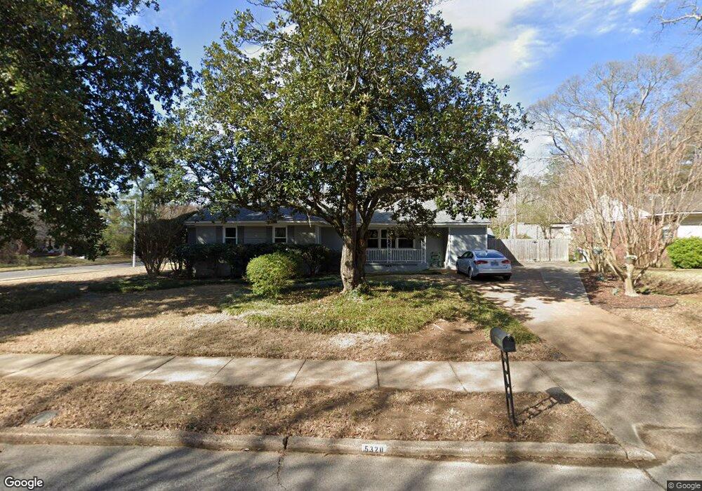
5320 Laurie Ln Memphis, TN 38120
East Memphis NeighborhoodEstimated Value: $289,453 - $366,000
4
Beds
3
Baths
2,007
Sq Ft
$160/Sq Ft
Est. Value
About This Home
This home is located at 5320 Laurie Ln, Memphis, TN 38120 and is currently estimated at $321,113, approximately $159 per square foot. 5320 Laurie Ln is a home located in Shelby County with nearby schools including White Station Elementary School, White Station High, and White Station Middle.
Ownership History
Date
Name
Owned For
Owner Type
Purchase Details
Closed on
Sep 24, 2008
Sold by
Wruble Lawrence D
Bought by
Snyder Richard E and Snyder Leah R
Current Estimated Value
Home Financials for this Owner
Home Financials are based on the most recent Mortgage that was taken out on this home.
Original Mortgage
$140,051
Outstanding Balance
$93,220
Interest Rate
6.45%
Mortgage Type
FHA
Estimated Equity
$227,893
Purchase Details
Closed on
May 9, 2003
Sold by
Grant Russell and Grant Cori
Bought by
Wruble Lawrence
Purchase Details
Closed on
Aug 21, 1995
Bought by
Dean Siewert
Create a Home Valuation Report for This Property
The Home Valuation Report is an in-depth analysis detailing your home's value as well as a comparison with similar homes in the area
Home Values in the Area
Average Home Value in this Area
Purchase History
| Date | Buyer | Sale Price | Title Company |
|---|---|---|---|
| Snyder Richard E | $142,600 | None Available | |
| Wruble Lawrence | $145,000 | -- | |
| Dean Siewert | $93,800 | -- |
Source: Public Records
Mortgage History
| Date | Status | Borrower | Loan Amount |
|---|---|---|---|
| Open | Snyder Richard E | $140,051 |
Source: Public Records
Tax History Compared to Growth
Tax History
| Year | Tax Paid | Tax Assessment Tax Assessment Total Assessment is a certain percentage of the fair market value that is determined by local assessors to be the total taxable value of land and additions on the property. | Land | Improvement |
|---|---|---|---|---|
| 2025 | $1,907 | $70,950 | $17,400 | $53,550 |
| 2024 | $1,907 | $56,250 | $17,400 | $38,850 |
| 2023 | $3,427 | $56,250 | $17,400 | $38,850 |
| 2022 | $3,427 | $56,250 | $17,400 | $38,850 |
| 2021 | $3,730 | $60,525 | $17,400 | $43,125 |
| 2020 | $3,067 | $42,325 | $17,400 | $24,925 |
| 2019 | $3,067 | $42,325 | $17,400 | $24,925 |
| 2018 | $3,530 | $50,675 | $17,400 | $33,275 |
| 2017 | $2,083 | $50,675 | $17,400 | $33,275 |
| 2016 | $1,803 | $41,250 | $0 | $0 |
| 2014 | $1,803 | $41,250 | $0 | $0 |
Source: Public Records
Map
Nearby Homes
- 5280 Cole Rd
- 5170 Meadowcrest Cir
- 5483 Brantford Ave
- 476 W Racquet Club Place
- 478 W Racquet Club Place
- 591 Lexington Club Ct Unit 201
- 5256 Collingwood Rd
- 5467 Collingwood Cove
- 482 Jack Kramer Dr
- 344 Greenway Place
- 320 S Yates Rd
- 5055 Greenway Rd
- 321 Shady Woods Cove
- 5516 Sycamore Grove Ln
- 704 W Clover Dr
- 5264 S Angela Rd
- 5680 Herald Square
- 5030 Shady Grove Rd
- 5481 Valleybrook Cove
- 5498 N Angela Rd