5320 Lonetree Dr Loveland, CO 80537
Estimated Value: $1,266,583 - $1,472,000
6
Beds
4
Baths
3,923
Sq Ft
$351/Sq Ft
Est. Value
About This Home
This home is located at 5320 Lonetree Dr, Loveland, CO 80537 and is currently estimated at $1,376,146, approximately $350 per square foot. 5320 Lonetree Dr is a home located in Larimer County with nearby schools including Carrie Martin Elementary School, Walt Clark Middle School, and Thompson Valley High School.
Ownership History
Date
Name
Owned For
Owner Type
Purchase Details
Closed on
Apr 29, 2005
Sold by
Hinojos James A and Hinojos Evangelina M
Bought by
Anderson Douglas S and Anderson Dixie E
Current Estimated Value
Home Financials for this Owner
Home Financials are based on the most recent Mortgage that was taken out on this home.
Original Mortgage
$300,000
Interest Rate
6.06%
Mortgage Type
Fannie Mae Freddie Mac
Purchase Details
Closed on
Feb 24, 2005
Sold by
Hinojos James A and Hinojos Evangelina M
Bought by
Hinojos James A and Hinojos Evangelina M
Purchase Details
Closed on
Jun 19, 2003
Sold by
Laws Louis W and Laws Margaret A
Bought by
Hinojos James A and Hinojos Evangelina M
Home Financials for this Owner
Home Financials are based on the most recent Mortgage that was taken out on this home.
Original Mortgage
$400,000
Interest Rate
5.27%
Mortgage Type
Purchase Money Mortgage
Purchase Details
Closed on
Aug 15, 2001
Sold by
Laws Louis W and Laws Margaret A
Bought by
Laws Louis W and Laws Margaret A
Home Financials for this Owner
Home Financials are based on the most recent Mortgage that was taken out on this home.
Original Mortgage
$60,000
Interest Rate
7.18%
Mortgage Type
Credit Line Revolving
Purchase Details
Closed on
Jul 11, 2001
Sold by
The Laws Living Trust
Bought by
Laws Louis W and Laws Margaret A
Home Financials for this Owner
Home Financials are based on the most recent Mortgage that was taken out on this home.
Original Mortgage
$60,000
Interest Rate
7.18%
Mortgage Type
Credit Line Revolving
Purchase Details
Closed on
Feb 20, 2001
Sold by
Laws Louis W and Laws Margaret A
Bought by
Laws Louis W and Laws Margaret A
Purchase Details
Closed on
Apr 30, 1999
Sold by
Hunt James R Paranka Joan E
Bought by
Laws Louis W and Laws Margaret A
Home Financials for this Owner
Home Financials are based on the most recent Mortgage that was taken out on this home.
Original Mortgage
$170,000
Interest Rate
6.99%
Purchase Details
Closed on
Oct 22, 1996
Sold by
Bata Gary H
Bought by
Hunt James R and Paranka Joan E
Purchase Details
Closed on
May 1, 1994
Sold by
Lane Loretta E
Bought by
Paranka Joan E
Create a Home Valuation Report for This Property
The Home Valuation Report is an in-depth analysis detailing your home's value as well as a comparison with similar homes in the area
Home Values in the Area
Average Home Value in this Area
Purchase History
| Date | Buyer | Sale Price | Title Company |
|---|---|---|---|
| Anderson Douglas S | $637,500 | Chicago Title Co | |
| Hinojos James A | -- | -- | |
| Hinojos James A | $580,000 | Stewart Title Of Larimer Cou | |
| Laws Louis W | -- | -- | |
| Laws Louis W | -- | -- | |
| Laws Louis W | -- | -- | |
| Laws Louis W | $379,900 | Stewart Title | |
| Hunt James R | -- | Stewart Title | |
| Paranka Joan E | $220,000 | -- |
Source: Public Records
Mortgage History
| Date | Status | Borrower | Loan Amount |
|---|---|---|---|
| Previous Owner | Anderson Douglas S | $300,000 | |
| Previous Owner | Hinojos James A | $400,000 | |
| Previous Owner | Laws Louis W | $60,000 | |
| Previous Owner | Laws Louis W | $170,000 | |
| Closed | Hinojos James A | $64,000 |
Source: Public Records
Tax History Compared to Growth
Tax History
| Year | Tax Paid | Tax Assessment Tax Assessment Total Assessment is a certain percentage of the fair market value that is determined by local assessors to be the total taxable value of land and additions on the property. | Land | Improvement |
|---|---|---|---|---|
| 2025 | $5,847 | $71,261 | $16,750 | $54,511 |
| 2024 | $5,654 | $71,261 | $16,750 | $54,511 |
| 2022 | $4,417 | $51,208 | $9,035 | $42,173 |
| 2021 | $4,540 | $52,681 | $9,295 | $43,386 |
| 2020 | $4,966 | $57,608 | $9,295 | $48,313 |
| 2019 | $4,894 | $57,608 | $9,295 | $48,313 |
| 2018 | $4,453 | $50,069 | $9,360 | $40,709 |
| 2017 | $3,882 | $50,069 | $9,360 | $40,709 |
| 2016 | $3,224 | $40,317 | $10,348 | $29,969 |
| 2015 | $3,202 | $40,320 | $10,350 | $29,970 |
| 2014 | $3,286 | $39,450 | $10,350 | $29,100 |
Source: Public Records
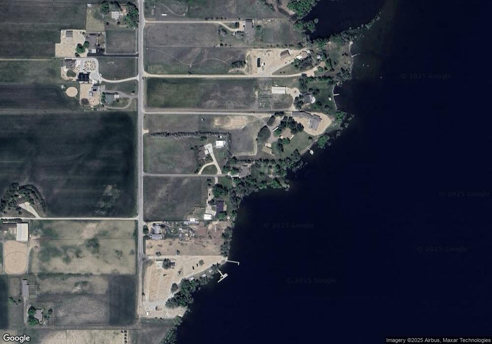
Map
Nearby Homes
- 2366 Shoreside Dr
- 4707 Lonetree Dr
- 4616 Lonetree Dr
- 2102 Shoreside Dr
- 2517 Southwind Rd
- 2598 Bluewater Rd
- 2552 Bluewater Rd
- 2672 Bluewater Rd
- 2622 Bluewater Rd
- 2732 Bluewater Rd
- 2654 Big Creek Ct
- 2668 Big Creek Ct
- 2622 Big Creek Ct
- 2554 Southwind Rd
- 2568 Southwind Rd
- 2669 Southwind Rd
- 2682 Southwind Rd
- 2774 Heron Lakes Pkwy
- 1822 Quarter Ln
- 2664 Southwind Rd
- 5412 Lonetree Dr
- 5314 Lonetree Dr
- 5228 Lonetree Dr
- 5212 Lonetree Dr
- 5420 Lonetree Dr
- 5208 Lonetree Dr
- 5200 Lonetree Dr
- 5223 Lonetree Dr
- 5127 Lonetree Dr
- 5100 Lonetree Dr
- 5121 Lonetree Dr
- 5021 Lonetree Dr
- 4914 Lonetree Dr
- 5419 Lonetree Dr
- 5579 Lonetree Dr
- 5009 Lonetree Dr
- 4820 Lonetree Dr
- 2367 Doyle Dr
- 4911 Lonetree Dr
- 2355 Doyle Dr