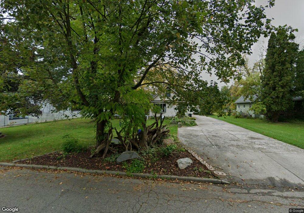
5320 Starr Ave Lansing, MI 48911
Southern Lansing NeighborhoodEstimated Value: $170,000 - $177,000
4
Beds
1
Bath
1,621
Sq Ft
$108/Sq Ft
Est. Value
About This Home
This home is located at 5320 Starr Ave, Lansing, MI 48911 and is currently estimated at $174,828, approximately $107 per square foot. 5320 Starr Ave is a home located in Ingham County with nearby schools including Reo Elementary School, Attwood School, and Everett High School.
Ownership History
Date
Name
Owned For
Owner Type
Purchase Details
Closed on
Feb 27, 2025
Sold by
Russell Karen Ann
Bought by
Russell Karen Ann and Figgins Tina Ann
Current Estimated Value
Purchase Details
Closed on
Aug 31, 2007
Sold by
Russell Karen E and Russell Timothy W
Bought by
Russell Karen A
Purchase Details
Closed on
Apr 4, 2001
Sold by
Cassidy James L and Cassidy Beverly J
Bought by
Russell Theodore W
Purchase Details
Closed on
Oct 26, 1992
Sold by
Cassidy James L and Cassidy Beverly J
Bought by
Russell Theodore W
Create a Home Valuation Report for This Property
The Home Valuation Report is an in-depth analysis detailing your home's value as well as a comparison with similar homes in the area
Home Values in the Area
Average Home Value in this Area
Purchase History
| Date | Buyer | Sale Price | Title Company |
|---|---|---|---|
| Russell Karen Ann | -- | None Listed On Document | |
| Russell Karen A | -- | None Available | |
| Russell Karen E | -- | None Available | |
| Russell Theodore W | $60,000 | -- | |
| Russell Theodore W | $60,000 | -- |
Source: Public Records
Tax History
| Year | Tax Paid | Tax Assessment Tax Assessment Total Assessment is a certain percentage of the fair market value that is determined by local assessors to be the total taxable value of land and additions on the property. | Land | Improvement |
|---|---|---|---|---|
| 2025 | $2,951 | $94,400 | $13,400 | $81,000 |
| 2024 | $23 | $70,200 | $13,400 | $56,800 |
| 2023 | $2,767 | $61,100 | $13,400 | $47,700 |
| 2022 | $2,495 | $57,900 | $8,600 | $49,300 |
| 2021 | $2,443 | $48,800 | $8,300 | $40,500 |
| 2020 | $2,428 | $46,700 | $8,300 | $38,400 |
| 2019 | $2,327 | $43,400 | $8,300 | $35,100 |
| 2018 | $2,181 | $37,600 | $8,300 | $29,300 |
| 2017 | $2,088 | $37,600 | $8,300 | $29,300 |
| 2016 | $2,022 | $37,000 | $8,300 | $28,700 |
| 2015 | $2,022 | $35,900 | $16,576 | $19,324 |
| 2014 | $2,022 | $35,800 | $26,935 | $8,865 |
Source: Public Records
Map
Nearby Homes
- 2416 Midwood St
- 0 Midwood St
- 2918 Midwood St
- 4927 Starr Ave
- 4928 Hughes Rd
- 1808 W Jolly Rd
- 5017 Christiansen Rd
- 4908 Hughes Rd
- 5650 Hughes Rd
- 2706 W Jolly Rd
- 2807 W Jolly Rd
- 5838 S Martin Luther King Junior Blvd
- 1941 Reo Rd
- 1309 Penrod Ct
- 1406 Weymouth Ct
- 1729 Reo Rd
- 5902 Haag Rd
- 1301 S Briarfield Dr
- 5641 Ashley Dr
- 3214 Raynell St
- 5330 Starr Ave
- 5312 Starr Ave
- 5338 Starr Ave
- 5302 Starr Ave
- 5329 Starr Ave
- 5337 Starr Ave
- 5226 Starr Ave
- 5301 Starr Ave
- 2119 Moffitt St
- 2113 Moffitt St
- 5321 Starr Ave
- 2123 Moffitt St
- 2109 Moffitt St
- 5315 Starr Ave
- 5311 Starr Ave
- 2103 Moffitt St
- 2040 Moffitt St
- 5220 Starr Ave
- 2034 Moffitt St
- 5223 Starr Ave
Your Personal Tour Guide
Ask me questions while you tour the home.