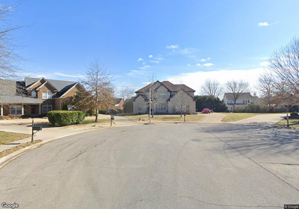
5321 Sherrington Rd Murfreesboro, TN 37128
Estimated Value: $628,000 - $707,000
--
Bed
--
Bath
3,046
Sq Ft
$218/Sq Ft
Est. Value
About This Home
This home is located at 5321 Sherrington Rd, Murfreesboro, TN 37128 and is currently estimated at $664,810, approximately $218 per square foot. 5321 Sherrington Rd is a home located in Rutherford County with nearby schools including Blackman Elementary School, Overall Creek Elementary School, and Blackman Middle School.
Ownership History
Date
Name
Owned For
Owner Type
Purchase Details
Closed on
Dec 11, 2012
Sold by
Ross Ashley James
Bought by
Ross Mary Margaret
Current Estimated Value
Purchase Details
Closed on
Apr 10, 2012
Sold by
Dupuis Walter A
Bought by
Ross Mary Margaret
Home Financials for this Owner
Home Financials are based on the most recent Mortgage that was taken out on this home.
Original Mortgage
$243,000
Interest Rate
3.96%
Mortgage Type
Commercial
Purchase Details
Closed on
Jul 28, 2011
Sold by
Dupuis Walter A
Bought by
Gardner Bradford N
Create a Home Valuation Report for This Property
The Home Valuation Report is an in-depth analysis detailing your home's value as well as a comparison with similar homes in the area
Home Values in the Area
Average Home Value in this Area
Purchase History
| Date | Buyer | Sale Price | Title Company |
|---|---|---|---|
| Ross Mary Margaret | -- | -- | |
| Ross Mary Margaret | $42,800 | -- | |
| Gardner Bradford N | $6,000 | -- |
Source: Public Records
Mortgage History
| Date | Status | Borrower | Loan Amount |
|---|---|---|---|
| Previous Owner | Ross Mary Margaret | $243,000 |
Source: Public Records
Tax History Compared to Growth
Tax History
| Year | Tax Paid | Tax Assessment Tax Assessment Total Assessment is a certain percentage of the fair market value that is determined by local assessors to be the total taxable value of land and additions on the property. | Land | Improvement |
|---|---|---|---|---|
| 2025 | $4,080 | $144,225 | $16,875 | $127,350 |
| 2024 | $4,080 | $144,225 | $16,875 | $127,350 |
| 2023 | $2,706 | $144,225 | $16,875 | $127,350 |
| 2022 | $2,331 | $144,225 | $16,875 | $127,350 |
| 2021 | $2,121 | $95,575 | $16,875 | $78,700 |
| 2020 | $2,121 | $95,575 | $16,875 | $78,700 |
| 2019 | $2,121 | $95,575 | $16,875 | $78,700 |
Source: Public Records
Map
Nearby Homes
- 5227 Starnes Dr
- 4814 Saint Ives Dr
- 2108 Olmstead Ct
- 1232 Stockwell Dr
- 1235 Timber Creek Dr
- 5108 Saint Ives Dr
- 5350 Tony Lama Ln
- 5309 Perlou Ln
- 629 Brinkley Rd
- 5408 Middlebury Dr
- 4826 Trevino Ct
- 548 Brinkley Rd
- 827 Stovers Glen Dr
- 5313 Eiffel Ct
- 814 Stovers Glen
- 802 Licinius Ln
- 628 Evergreen Dr
- 826 Licinius Ln
- 4670 Forsman Ct
- 5443 Cloister Dr
- 5324 Sherrington Rd
- 5325 Sherrington Rd
- 5242 Starnes Dr
- 5238 Starnes Dr
- 5246 Starnes Dr Unit 280
- 5246 Starnes Dr
- 5234 Starnes Dr
- 5328 Sherrington Rd
- 5329 Sherrington Rd
- 5250 Starnes Dr
- 5230 Starnes Dr
- 5332 Sherrington Rd
- 5333 Sherrington Rd
- 5327 Cavendish Dr
- 5254 Starnes Dr
- 5226 Starnes Dr
- 5323 Cavendish Dr
- 5239 Starnes Dr
- 5331 Cavendish Dr
- 5258 Starnes Dr