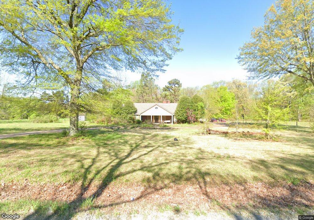
5323 Campground Rd Munford, TN 38058
Estimated Value: $384,000 - $420,000
--
Bed
2
Baths
3,035
Sq Ft
$132/Sq Ft
Est. Value
About This Home
This home is located at 5323 Campground Rd, Munford, TN 38058 and is currently estimated at $400,619, approximately $131 per square foot. 5323 Campground Rd is a home located in Tipton County with nearby schools including Drummonds Elementary School, Munford Middle School, and Munford High School.
Ownership History
Date
Name
Owned For
Owner Type
Purchase Details
Closed on
Nov 15, 2005
Sold by
Ellis Amelia Estate
Bought by
William Cunningham
Current Estimated Value
Home Financials for this Owner
Home Financials are based on the most recent Mortgage that was taken out on this home.
Original Mortgage
$199,800
Outstanding Balance
$109,474
Interest Rate
6.04%
Estimated Equity
$291,145
Purchase Details
Closed on
Mar 24, 1978
Bought by
Ellis Amelia
Create a Home Valuation Report for This Property
The Home Valuation Report is an in-depth analysis detailing your home's value as well as a comparison with similar homes in the area
Home Values in the Area
Average Home Value in this Area
Purchase History
| Date | Buyer | Sale Price | Title Company |
|---|---|---|---|
| William Cunningham | $222,000 | -- | |
| Ellis Amelia | -- | -- |
Source: Public Records
Mortgage History
| Date | Status | Borrower | Loan Amount |
|---|---|---|---|
| Open | Ellis Amelia | $199,800 |
Source: Public Records
Tax History Compared to Growth
Tax History
| Year | Tax Paid | Tax Assessment Tax Assessment Total Assessment is a certain percentage of the fair market value that is determined by local assessors to be the total taxable value of land and additions on the property. | Land | Improvement |
|---|---|---|---|---|
| 2024 | $1,444 | $94,925 | $10,150 | $84,775 |
| 2023 | $1,874 | $94,925 | $10,150 | $84,775 |
| 2022 | $1,754 | $85,975 | $7,475 | $78,500 |
| 2021 | $1,754 | $85,975 | $7,475 | $78,500 |
| 2020 | $1,753 | $85,975 | $7,475 | $78,500 |
| 2019 | $1,427 | $58,975 | $7,475 | $51,500 |
| 2018 | $1,427 | $58,975 | $7,475 | $51,500 |
| 2017 | $1,427 | $58,975 | $7,475 | $51,500 |
| 2016 | $1,427 | $58,975 | $7,475 | $51,500 |
| 2015 | $1,425 | $58,975 | $7,475 | $51,500 |
| 2014 | $1,425 | $58,959 | $0 | $0 |
Source: Public Records
Map
Nearby Homes
- 8508 Campground Rd
- 3053 Drummonds Rd
- 4366 Campground Rd
- 2212 Drummonds Rd
- 52 Wilkinsville Rd
- 243 Morgan Way
- 483 Rachel Shankle Dr
- 288 W Rae Dr
- 544 Rachel Shankle Dr
- 2664 Glen Springs Rd
- 1245 Drummonds Rd
- 0000 Bowers Rd
- 118 Robert L Ellis Dr
- 173 Littleton Way
- 155 Pwr Loop
- 71 G Lafont Cir
- 343 Pwr Loop
- 8539 Campground Rd
- 1461 Armstrong Rd
- 310 Wooten Oaks Cir
- 4953 Campground Rd
- 5433 Campground Rd
- 0 Davidson Campground Rd Unit 3152665
- LOTS 9 AND Campground Road Rd
- 00 Campground Rd
- LOTS 9 AND 10 Campground Rd
- LOT 27 Campground Rd
- LOT 5 Campground Rd
- LOT 1 Campground Rd
- LOT 4 Campground Rd
- LOT 6 Campground Rd
- LOT 11 Campground Rd
- LOT 2 Campground Rd
- LOT 32 Campground Rd
- 0 Campground Rd
- 5522 Campground Rd
- 5542 Campground Rd
- 5518 Campground Rd
- 5562 Campground Rd
- 4814 Campground Rd