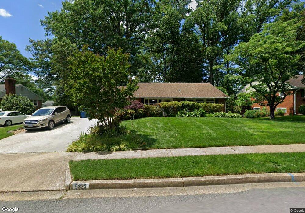
5323 Moultrie Rd Springfield, VA 22151
Estimated Value: $623,000 - $689,268
3
Beds
3
Baths
1,584
Sq Ft
$418/Sq Ft
Est. Value
About This Home
This home is located at 5323 Moultrie Rd, Springfield, VA 22151 and is currently estimated at $661,567, approximately $417 per square foot. 5323 Moultrie Rd is a home located in Fairfax County with nearby schools including Ravensworth Elementary School, Lake Braddock Secondary School, and Holy Spirit School.
Ownership History
Date
Name
Owned For
Owner Type
Purchase Details
Closed on
Mar 30, 2012
Sold by
Zee Thomas G
Bought by
Fischer Carol Y
Current Estimated Value
Home Financials for this Owner
Home Financials are based on the most recent Mortgage that was taken out on this home.
Original Mortgage
$287,496
Outstanding Balance
$198,295
Interest Rate
3.88%
Mortgage Type
FHA
Estimated Equity
$463,272
Create a Home Valuation Report for This Property
The Home Valuation Report is an in-depth analysis detailing your home's value as well as a comparison with similar homes in the area
Home Values in the Area
Average Home Value in this Area
Purchase History
| Date | Buyer | Sale Price | Title Company |
|---|---|---|---|
| Fischer Carol Y | $295,000 | -- |
Source: Public Records
Mortgage History
| Date | Status | Borrower | Loan Amount |
|---|---|---|---|
| Open | Fischer Carol Y | $287,496 |
Source: Public Records
Tax History
| Year | Tax Paid | Tax Assessment Tax Assessment Total Assessment is a certain percentage of the fair market value that is determined by local assessors to be the total taxable value of land and additions on the property. | Land | Improvement |
|---|---|---|---|---|
| 2025 | $6,775 | $644,150 | $313,000 | $331,150 |
| 2024 | $6,775 | $584,830 | $293,000 | $291,830 |
| 2023 | $6,702 | $593,850 | $293,000 | $300,850 |
| 2022 | $6,552 | $572,950 | $278,000 | $294,950 |
| 2021 | $5,766 | $491,360 | $253,000 | $238,360 |
| 2020 | $5,310 | $448,690 | $232,000 | $216,690 |
| 2019 | $5,201 | $439,440 | $227,000 | $212,440 |
| 2018 | $4,276 | $371,790 | $203,000 | $168,790 |
| 2017 | $4,316 | $371,790 | $203,000 | $168,790 |
| 2016 | $4,153 | $358,480 | $193,000 | $165,480 |
Source: Public Records
Map
Nearby Homes
- 8108 Carrick Ln
- 5211 Inverchapel Rd
- 8309 Highcliffe Ct
- 8405 Thames St
- 7727 Kalorama Rd
- 4900 Schuyler Dr
- 8358D Dunham Ct Unit 622
- 5902-B Queenston St Unit 505
- 8353D Dunham Ct Unit 642
- 5912 Minutemen Rd Unit 295
- 8621 Kenilworth Dr
- 8624 Parliament Dr
- 5913 Prince James Dr Unit J
- 8330 Darlington St Unit 467
- 5925 Minutemen Rd Unit 248
- 5927 Bayshire Rd Unit 115
- 8218 Carrleigh Pkwy Unit 10
- 8210 Carrleigh Pkwy Unit 6
- 5519 Yorkshire St
- 4917 Herkimer St
- 5321 Moultrie Rd
- 5325 Moultrie Rd
- 8106 Ellet Rd
- 5319 Moultrie Rd
- 8108 Ellet Rd
- 5313 Landgrave Ln
- 5311 Landgrave Ln
- 5322 Moultrie Rd
- 5320 Moultrie Rd
- 5324 Moultrie Rd
- 5315 Landgrave Ln
- 8110 Ellet Rd
- 5317 Moultrie Rd
- 5318 Moultrie Rd
- 5401 Moultrie Rd
- 5309 Landgrave Ln
- 8107 Ellet Rd
- 5316 Moultrie Rd
- 5317 Landgrave Ln
- 5400 Moultrie Rd
Your Personal Tour Guide
Ask me questions while you tour the home.