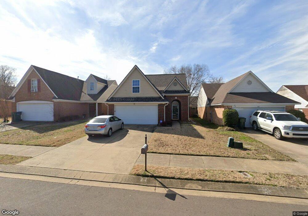
5323 Pollard Dr Southaven, MS 38671
Estimated Value: $210,000 - $239,000
3
Beds
3
Baths
1,487
Sq Ft
$152/Sq Ft
Est. Value
About This Home
This home is located at 5323 Pollard Dr, Southaven, MS 38671 and is currently estimated at $226,081, approximately $152 per square foot. 5323 Pollard Dr is a home located in DeSoto County with nearby schools including Hope Sullivan Elementary School, Southaven Intermediate School, and Southaven Middle School.
Ownership History
Date
Name
Owned For
Owner Type
Purchase Details
Closed on
Aug 30, 2021
Sold by
Raiteri Patti
Bought by
Luckett Etra Maria
Current Estimated Value
Home Financials for this Owner
Home Financials are based on the most recent Mortgage that was taken out on this home.
Original Mortgage
$192,449
Outstanding Balance
$175,114
Interest Rate
2.8%
Mortgage Type
FHA
Estimated Equity
$50,967
Create a Home Valuation Report for This Property
The Home Valuation Report is an in-depth analysis detailing your home's value as well as a comparison with similar homes in the area
Home Values in the Area
Average Home Value in this Area
Purchase History
| Date | Buyer | Sale Price | Title Company |
|---|---|---|---|
| Luckett Etra Maria | -- | Guardian Title Llc |
Source: Public Records
Mortgage History
| Date | Status | Borrower | Loan Amount |
|---|---|---|---|
| Open | Luckett Etra Maria | $192,449 |
Source: Public Records
Tax History Compared to Growth
Tax History
| Year | Tax Paid | Tax Assessment Tax Assessment Total Assessment is a certain percentage of the fair market value that is determined by local assessors to be the total taxable value of land and additions on the property. | Land | Improvement |
|---|---|---|---|---|
| 2024 | $1,158 | $10,016 | $2,500 | $7,516 |
| 2023 | $1,158 | $10,016 | $0 | $0 |
| 2022 | $1,127 | $10,016 | $2,500 | $7,516 |
| 2021 | $1,127 | $10,016 | $2,500 | $7,516 |
| 2020 | $1,038 | $9,386 | $2,500 | $6,886 |
| 2019 | $1,038 | $9,386 | $2,500 | $6,886 |
| 2017 | $1,021 | $15,934 | $9,217 | $6,717 |
| 2016 | $1,021 | $9,217 | $2,500 | $6,717 |
| 2015 | $1,313 | $15,934 | $9,217 | $6,717 |
| 2014 | $1,021 | $9,217 | $0 | $0 |
| 2013 | $1,312 | $9,217 | $0 | $0 |
Source: Public Records
Map
Nearby Homes
- 5339 Kristy Ln
- 5353 Kristy Ln
- 5353 Pollard Dr
- 5330 Kalian Cove
- 5448 Pollard Dr
- 5379 Bradley Dr
- 672 Grant Dr
- 0 Pepper Chase Dr
- 5512 Alexandria Ln
- 406 Venture Dr
- 5893 Kayla Dr
- 5381 Peppermill Dr
- 5393 Peppermill Dr
- 6275 U S Highway 51
- 1652 Thomas St
- 1664 Thomas St
- 1784 Thomas St
- 1876 Greeno Dr
- 1926 Tissington Dr
- 1939 Ingleside Cove
- 5323 Pollard
- 5315 Pollard Dr
- 5331 Pollard Dr
- 5307 Pollard Dr
- 5337 Pollard Dr
- 5299 Pollard Dr
- 5322 Kalian Cove
- 5314 Kalian Cove
- 5345 Pollard Dr
- 5308 Kalian Cove
- 5338 Kalian Cove
- 5324 Pollard Dr
- 5316 Pollard Dr
- 5289 Pollard Dr
- 5300 Kalian Cove
- 5330 Pollard Dr
- 5308 Pollard Dr
- 5346 Kalian Cove
- 5338 Pollard Dr
- 5300 Pollard Dr