Estimated Value: $363,000 - $462,000
4
Beds
2
Baths
2,048
Sq Ft
$206/Sq Ft
Est. Value
About This Home
This home is located at 5324 A St, Springfield, OR 97478 and is currently estimated at $421,704, approximately $205 per square foot. 5324 A St is a home located in Lane County with nearby schools including Riverbend Elementary School, Agnes Stewart Middle School, and Thurston High School.
Ownership History
Date
Name
Owned For
Owner Type
Purchase Details
Closed on
Jul 16, 2003
Sold by
Owen Daniel L
Bought by
Miller Michael P
Current Estimated Value
Home Financials for this Owner
Home Financials are based on the most recent Mortgage that was taken out on this home.
Original Mortgage
$96,800
Interest Rate
5.18%
Mortgage Type
Purchase Money Mortgage
Purchase Details
Closed on
Dec 13, 2001
Sold by
Gouveia Joseph E and Gouveia Pamela A
Bought by
Owen Daniel L
Create a Home Valuation Report for This Property
The Home Valuation Report is an in-depth analysis detailing your home's value as well as a comparison with similar homes in the area
Home Values in the Area
Average Home Value in this Area
Purchase History
| Date | Buyer | Sale Price | Title Company |
|---|---|---|---|
| Miller Michael P | $121,000 | Western Pioneer Title Co | |
| Owen Daniel L | $123,750 | Western Pioneer Title Co |
Source: Public Records
Mortgage History
| Date | Status | Borrower | Loan Amount |
|---|---|---|---|
| Closed | Miller Michael P | $96,800 |
Source: Public Records
Tax History
| Year | Tax Paid | Tax Assessment Tax Assessment Total Assessment is a certain percentage of the fair market value that is determined by local assessors to be the total taxable value of land and additions on the property. | Land | Improvement |
|---|---|---|---|---|
| 2025 | $3,199 | $174,424 | -- | -- |
| 2024 | $3,147 | $169,344 | -- | -- |
| 2023 | $3,147 | $164,412 | $0 | $0 |
| 2022 | $2,914 | $159,624 | $0 | $0 |
| 2021 | $2,862 | $154,975 | $0 | $0 |
| 2020 | $2,779 | $150,462 | $0 | $0 |
| 2019 | $2,695 | $146,080 | $0 | $0 |
| 2018 | $2,540 | $137,695 | $0 | $0 |
| 2017 | $2,443 | $137,695 | $0 | $0 |
| 2016 | $2,391 | $133,684 | $0 | $0 |
| 2015 | $2,323 | $129,790 | $0 | $0 |
| 2014 | $2,288 | $126,010 | $0 | $0 |
Source: Public Records
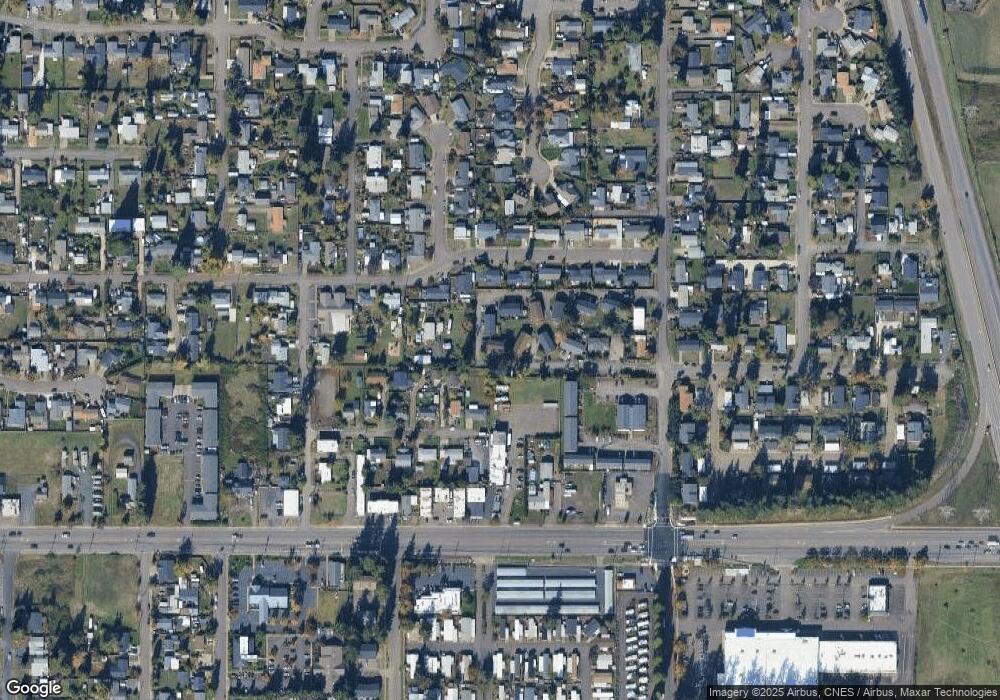
Map
Nearby Homes
- 5495 A Units 69 70 71 72 St
- 5570 B St
- 205 S 54th (#11) St Unit 11
- 205 S 54th St
- 5524 E St
- 5335 Main St Unit 236
- 5335 Main St
- 5335 Main St Unit 184
- 5335 Main St Unit 197
- 5335 Main St Unit 154
- 5335 Main St Unit 187
- 733 54th St
- 5736 A St
- 775 54th St
- 5335 Daisy St Unit 131
- 5335 Daisy St Unit TL 0130
- 5660 Daisy St Unit 69
- 5254 Forsythia St
- 0 N St
- 676 58th St
Your Personal Tour Guide
Ask me questions while you tour the home.