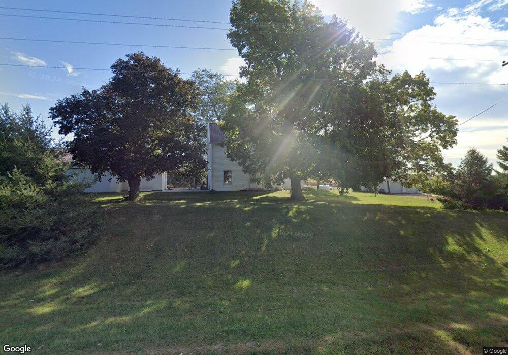
5324 Wapsi Ave SE Lone Tree, IA 52755
Estimated Value: $200,000 - $465,000
--
Bed
2
Baths
1,824
Sq Ft
$181/Sq Ft
Est. Value
About This Home
This home is located at 5324 Wapsi Ave SE, Lone Tree, IA 52755 and is currently estimated at $330,996, approximately $181 per square foot. 5324 Wapsi Ave SE is a home located in Johnson County with nearby schools including Lone Tree Elementary School and Lone Tree Junior/Senior High School.
Ownership History
Date
Name
Owned For
Owner Type
Purchase Details
Closed on
Jun 6, 2007
Sold by
Hammer Maxine E and Hammer Dale R
Bought by
Hammer Terry C
Current Estimated Value
Home Financials for this Owner
Home Financials are based on the most recent Mortgage that was taken out on this home.
Original Mortgage
$40,000
Outstanding Balance
$24,371
Interest Rate
6.2%
Mortgage Type
New Conventional
Estimated Equity
$306,625
Create a Home Valuation Report for This Property
The Home Valuation Report is an in-depth analysis detailing your home's value as well as a comparison with similar homes in the area
Home Values in the Area
Average Home Value in this Area
Purchase History
| Date | Buyer | Sale Price | Title Company |
|---|---|---|---|
| Hammer Terry C | $50,000 | None Available |
Source: Public Records
Mortgage History
| Date | Status | Borrower | Loan Amount |
|---|---|---|---|
| Open | Hammer Terry C | $40,000 |
Source: Public Records
Tax History Compared to Growth
Tax History
| Year | Tax Paid | Tax Assessment Tax Assessment Total Assessment is a certain percentage of the fair market value that is determined by local assessors to be the total taxable value of land and additions on the property. | Land | Improvement |
|---|---|---|---|---|
| 2025 | $3,036 | $270,200 | $74,100 | $196,100 |
| 2024 | $2,918 | $264,200 | $74,100 | $190,100 |
| 2023 | $2,842 | $264,200 | $74,100 | $190,100 |
| 2022 | $2,802 | $220,500 | $63,500 | $157,000 |
| 2021 | $2,726 | $220,500 | $63,500 | $157,000 |
| 2020 | $2,726 | $203,100 | $63,500 | $139,600 |
| 2019 | $2,646 | $203,100 | $63,500 | $139,600 |
| 2018 | $2,596 | $194,800 | $63,500 | $131,300 |
| 2017 | $2,640 | $194,800 | $63,500 | $131,300 |
| 2016 | $2,490 | $191,000 | $63,500 | $127,500 |
| 2015 | $2,490 | $191,000 | $63,500 | $127,500 |
| 2014 | $2,356 | $175,100 | $52,400 | $122,700 |
Source: Public Records
Map
Nearby Homes
- 0 520th St SE
- 745 N Perkins St
- 219 Taylor Dr
- 201 N Devoe St
- 221 W Commercial St
- 407 E Elm St
- 500 S Center St
- 1118 120th St
- 203 W Dougherty Dr
- 106 Dorothy Ln
- 5888 Sand Rd SE
- 0 Napoleon St SE
- Rr Napoleon St SE
- 0 Soccer Park Rd at Napoleon St SE Unit NOC6329595
- 0 Soccer Park Rd
- 121 Brady St
- 41 Williams Cir
- 201 Sierra Park Dr
- 4591 Sand Rd SE
- 4589 Sand Rd SE