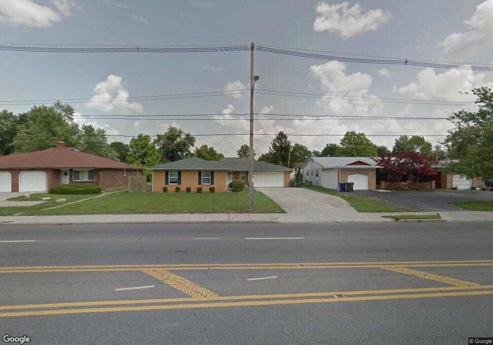
5328-5330 Karl Rd Columbus, OH 43229
Forest Park East NeighborhoodEstimated Value: $311,811 - $339,000
5
Beds
2
Baths
1,992
Sq Ft
$163/Sq Ft
Est. Value
About This Home
This home is located at 5328-5330 Karl Rd, Columbus, OH 43229 and is currently estimated at $323,953, approximately $162 per square foot. 5328-5330 Karl Rd is a home located in Franklin County with nearby schools including Parkmoor Elementary School, Woodward Park Middle School, and Northland High School.
Ownership History
Date
Name
Owned For
Owner Type
Purchase Details
Closed on
Oct 1, 1986
Bought by
Pollina Joseph A
Current Estimated Value
Purchase Details
Closed on
Jun 1, 1986
Create a Home Valuation Report for This Property
The Home Valuation Report is an in-depth analysis detailing your home's value as well as a comparison with similar homes in the area
Home Values in the Area
Average Home Value in this Area
Purchase History
| Date | Buyer | Sale Price | Title Company |
|---|---|---|---|
| Pollina Joseph A | $35,000 | -- | |
| -- | -- | -- |
Source: Public Records
Tax History Compared to Growth
Tax History
| Year | Tax Paid | Tax Assessment Tax Assessment Total Assessment is a certain percentage of the fair market value that is determined by local assessors to be the total taxable value of land and additions on the property. | Land | Improvement |
|---|---|---|---|---|
| 2024 | $4,256 | $92,860 | $22,750 | $70,110 |
| 2023 | $4,202 | $92,855 | $22,750 | $70,105 |
| 2022 | $3,000 | $56,460 | $11,480 | $44,980 |
| 2021 | $3,006 | $56,460 | $11,480 | $44,980 |
| 2020 | $3,010 | $56,460 | $11,480 | $44,980 |
| 2019 | $2,601 | $41,830 | $8,510 | $33,320 |
| 2018 | $2,655 | $41,830 | $8,510 | $33,320 |
| 2017 | $2,600 | $41,830 | $8,510 | $33,320 |
| 2016 | $2,980 | $43,860 | $9,560 | $34,300 |
| 2015 | $2,713 | $43,860 | $9,560 | $34,300 |
| 2014 | $2,719 | $43,860 | $9,560 | $34,300 |
| 2013 | $1,473 | $48,160 | $10,045 | $38,115 |
Source: Public Records
Map
Nearby Homes
- 5231 Arrowood Ct
- 1493 Boxwood Dr
- 1704 Riverbirch Dr
- 1722 Blue Ash Place
- 5022 Sienna Ln
- 5485 Tamarack Blvd
- 1492 Cottonwood Dr
- 5124 Northcliff Loop W
- 1687 Brookfield Square S
- 1385 Thurell Rd
- 1485 Norma Rd
- 5480 Rockwood Ct Unit R1
- 4923 Karl Rd Unit 4925
- 1914 Walden Dr
- 5415 Vinewood Ct
- 1752 Pine Tree St S Unit H
- 5727 Tamarack Blvd Unit A
- 1743 Pine Tree St N Unit A
- 5204 Honeytree Loop W
- 1881 Brimfield Rd
- 5328 Karl Rd Unit 330
- 5316 Karl Rd Unit 318
- 5338 Karl Rd
- 5315 Arrowood Loop W
- 5310 Karl Rd
- 5308 Karl Rd Unit 310
- 5307 Arrowood Loop W
- 5348-5350 Karl Rd
- 5348 Karl Rd Unit 350
- 5350 Karl Rd
- 1604 Arrowood Loop N
- 5301 Arrowood Loop W
- 5329 Karl Rd
- 5337 Karl Rd
- 5300 Karl Rd
- 5321 Karl Rd
- 5298 Karl Rd Unit 300
- 5298-5300 Karl Rd
- 5293 Arrowood Loop W
- 5345 Karl Rd