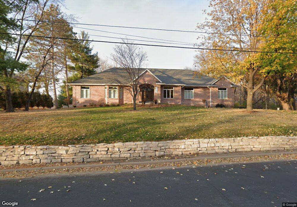
5328 Division St Edina, MN 55436
Todd Park NeighborhoodEstimated Value: $1,630,000 - $2,150,000
5
Beds
5
Baths
7,005
Sq Ft
$268/Sq Ft
Est. Value
About This Home
This home is located at 5328 Division St, Edina, MN 55436 and is currently estimated at $1,880,114, approximately $268 per square foot. 5328 Division St is a home located in Hennepin County with nearby schools including Highlands Elementary School, South View Middle School, and Edina High School.
Ownership History
Date
Name
Owned For
Owner Type
Purchase Details
Closed on
Dec 29, 2011
Sold by
Phillips Vali O
Bought by
Fashoro Olatubosun and Fashoro Suzanne
Current Estimated Value
Home Financials for this Owner
Home Financials are based on the most recent Mortgage that was taken out on this home.
Original Mortgage
$417,000
Outstanding Balance
$169,118
Interest Rate
3.97%
Mortgage Type
New Conventional
Estimated Equity
$1,710,996
Create a Home Valuation Report for This Property
The Home Valuation Report is an in-depth analysis detailing your home's value as well as a comparison with similar homes in the area
Home Values in the Area
Average Home Value in this Area
Purchase History
| Date | Buyer | Sale Price | Title Company |
|---|---|---|---|
| Fashoro Olatubosun | $875,000 | None Available |
Source: Public Records
Mortgage History
| Date | Status | Borrower | Loan Amount |
|---|---|---|---|
| Open | Fashoro Olatubosun | $417,000 |
Source: Public Records
Tax History
| Year | Tax Paid | Tax Assessment Tax Assessment Total Assessment is a certain percentage of the fair market value that is determined by local assessors to be the total taxable value of land and additions on the property. | Land | Improvement |
|---|---|---|---|---|
| 2024 | $21,311 | $1,492,400 | $462,000 | $1,030,400 |
| 2023 | $20,279 | $1,487,300 | $455,000 | $1,032,300 |
| 2022 | $18,727 | $1,410,200 | $420,000 | $990,200 |
| 2021 | $18,457 | $1,290,900 | $350,000 | $940,900 |
| 2020 | $18,484 | $1,270,200 | $325,000 | $945,200 |
| 2019 | $15,089 | $1,250,700 | $305,500 | $945,200 |
| 2018 | $14,632 | $1,038,000 | $293,700 | $744,300 |
| 2017 | $15,813 | $1,038,300 | $346,700 | $691,600 |
| 2016 | $15,349 | $996,400 | $346,700 | $649,700 |
| 2015 | $14,739 | $996,400 | $346,700 | $649,700 |
| 2014 | -- | $927,000 | $322,600 | $604,400 |
Source: Public Records
Map
Nearby Homes
- 4509 Oxford Ave
- 1 Spur Rd
- 45XX Parkside Ln
- 4500 Parkside Ln
- 5304 Hollywood Rd
- 4370 Brookside Ct Unit 106
- 4360 Brookside Ct Unit 310
- 4380 Brookside Ct Unit 103
- 4380 Brookside Ct Unit 209
- 4380 Brookside Ct Unit 119
- 4380 Brookside Ct Unit 116
- 5013 Oxford Ave
- 4350 Brookside Ct Unit 114
- 4350 Brookside Ct Unit 108
- 5012 Hankerson Ave
- 12 Merilane Ave
- 5029 Hankerson Ave
- 8 Merilane Ave
- 8X Merilane
- 4603 Merilane Ave
- 5340 Division St
- 4500 Oxford Ave
- 5345 Division St
- 4501 Oxford Ave
- 4508 Oxford Ave
- 4505 Oxford Ave
- 4440 Vandervork Ave
- 4448 Vandervork Ave
- 4436 Vandervork Ave
- 4432 Vandervork Ave
- 4513 Oxford Ave
- 4500 Vandervork Ave
- 4520 Oxford Ave
- 4428 Vandervork Ave
- 4504 Vandervork Ave
- 2 Spur Rd
- 4517 Oxford Ave
- 4424 Vandervork Ave
- 4508 Vandervork Ave
- 4420 Vandervork Ave