533 Norman Rd NE Tignall, GA 30668
Estimated Value: $343,100 - $399,000
3
Beds
2
Baths
1,596
Sq Ft
$228/Sq Ft
Est. Value
About This Home
This home is located at 533 Norman Rd NE, Tignall, GA 30668 and is currently estimated at $364,025, approximately $228 per square foot. 533 Norman Rd NE is a home located in Wilkes County with nearby schools including Washington-Wilkes Elementary School, Washington-Wilkes Primary School, and Washington-Wilkes Middle School.
Ownership History
Date
Name
Owned For
Owner Type
Purchase Details
Closed on
Mar 10, 2025
Sold by
Lecroy Mickey O
Bought by
Phillips Beth D and Phillips Thomas W
Current Estimated Value
Purchase Details
Closed on
Apr 27, 2004
Sold by
Stackhouse Catherine D and Stackhouse Herbert F
Bought by
Lecroy Larry C and Lecroy Mickey O
Create a Home Valuation Report for This Property
The Home Valuation Report is an in-depth analysis detailing your home's value as well as a comparison with similar homes in the area
Home Values in the Area
Average Home Value in this Area
Purchase History
| Date | Buyer | Sale Price | Title Company |
|---|---|---|---|
| Phillips Beth D | $350,000 | -- | |
| Lecroy Larry C | -- | -- |
Source: Public Records
Tax History Compared to Growth
Tax History
| Year | Tax Paid | Tax Assessment Tax Assessment Total Assessment is a certain percentage of the fair market value that is determined by local assessors to be the total taxable value of land and additions on the property. | Land | Improvement |
|---|---|---|---|---|
| 2025 | $1,963 | $76,621 | $16,587 | $60,034 |
| 2024 | $1,687 | $76,621 | $16,587 | $60,034 |
| 2023 | $1,655 | $76,621 | $16,587 | $60,034 |
| 2022 | $1,651 | $76,621 | $16,587 | $60,034 |
| 2021 | $1,688 | $76,621 | $16,587 | $60,034 |
| 2020 | $1,868 | $78,540 | $18,506 | $60,034 |
| 2019 | $1,879 | $78,540 | $18,506 | $60,034 |
| 2018 | $2,281 | $78,540 | $18,506 | $60,034 |
| 2017 | $2,281 | $78,540 | $18,506 | $60,034 |
| 2016 | $1,805 | $78,540 | $18,506 | $60,034 |
| 2015 | -- | $18,506 | $18,506 | $60,034 |
| 2014 | -- | $78,540 | $18,506 | $60,034 |
| 2013 | -- | $78,539 | $18,505 | $60,034 |
Source: Public Records
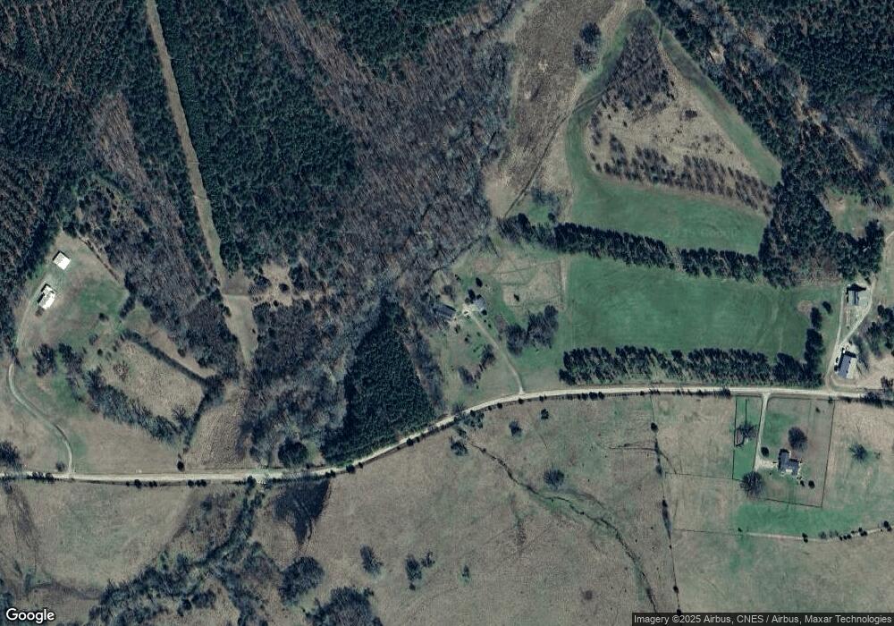
Map
Nearby Homes
- 2132 Henry Hill Rd
- 3 Bunch Rd
- 1 Bunch Rd
- 2 Bunch Rd
- 4 Bunch Rd
- 191 Bunch Rd
- 6556 Elberton Rd
- 2724 Bells Ferry Rd
- 0 Vinson Rd Unit 10638388
- 0 Pete Johnson Rd Unit 24300768
- 0 Pete Johnson Rd Unit 24300767
- 0 Oscar Walton Rd Unit 24714036
- 1046 Eagles Nest Trail
- 420 W Wooten St
- 525 S Hulin Ave
- 819 Jane Hill Rd
- 2557 Washington Hwy
- 2470 Dr George Ward Rd
- 3366 Hester Rd
- 1385 Lincolnton Hwy