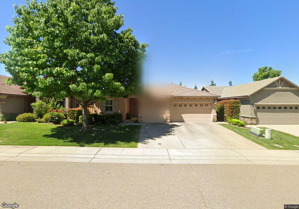
533 Porter Ct Folsom, CA 95630
Empire Ranch Village NeighborhoodEstimated Value: $650,000 - $731,000
3
Beds
2
Baths
1,687
Sq Ft
$416/Sq Ft
Est. Value
About This Home
This home is located at 533 Porter Ct, Folsom, CA 95630 and is currently estimated at $702,594, approximately $416 per square foot. 533 Porter Ct is a home located in Sacramento County with nearby schools including Russell Ranch Elementary School, Folsom Middle School, and Vista Del Lago High School.
Ownership History
Date
Name
Owned For
Owner Type
Purchase Details
Closed on
Jul 7, 2004
Sold by
Elliott Homes Inc
Bought by
Edlund Monica and Higgins Teresa
Current Estimated Value
Home Financials for this Owner
Home Financials are based on the most recent Mortgage that was taken out on this home.
Original Mortgage
$295,750
Outstanding Balance
$148,621
Interest Rate
6.31%
Mortgage Type
Purchase Money Mortgage
Estimated Equity
$553,973
Create a Home Valuation Report for This Property
The Home Valuation Report is an in-depth analysis detailing your home's value as well as a comparison with similar homes in the area
Home Values in the Area
Average Home Value in this Area
Purchase History
| Date | Buyer | Sale Price | Title Company |
|---|---|---|---|
| Edlund Monica | $370,000 | Stewart Title Of Sacramento |
Source: Public Records
Mortgage History
| Date | Status | Borrower | Loan Amount |
|---|---|---|---|
| Open | Edlund Monica | $295,750 | |
| Closed | Edlund Monica | $36,900 |
Source: Public Records
Tax History Compared to Growth
Tax History
| Year | Tax Paid | Tax Assessment Tax Assessment Total Assessment is a certain percentage of the fair market value that is determined by local assessors to be the total taxable value of land and additions on the property. | Land | Improvement |
|---|---|---|---|---|
| 2025 | $6,904 | $515,327 | $139,378 | $375,949 |
| 2024 | $6,904 | $505,224 | $136,646 | $368,578 |
| 2023 | $6,679 | $495,318 | $133,967 | $361,351 |
| 2022 | $6,611 | $485,607 | $131,341 | $354,266 |
| 2021 | $6,552 | $476,086 | $128,766 | $347,320 |
| 2020 | $6,521 | $471,205 | $127,446 | $343,759 |
| 2019 | $6,536 | $461,967 | $124,948 | $337,019 |
| 2018 | $6,409 | $452,910 | $122,499 | $330,411 |
| 2017 | $6,077 | $444,031 | $120,098 | $323,933 |
| 2016 | $6,281 | $435,326 | $117,744 | $317,582 |
| 2015 | $6,120 | $428,788 | $115,976 | $312,812 |
| 2014 | $5,884 | $420,390 | $113,705 | $306,685 |
Source: Public Records
Map
Nearby Homes
- 2149 Buljan Dr
- 436 Porter Rd
- 1723 Seneca Cir
- 1750 Seneca Cir
- 6840 Saratoga Estates Dr
- 1726 Seneca Cir
- 1691 Seneca Cir
- 1710 Seneca Cir
- 1702 Seneca Cir
- 6882 Saratoga Estates Dr
- 1084 Via Treviso
- 1686 Seneca Cir
- 6890 Saratoga Estates Dr
- 1678 Seneca Cir
- 1659 Seneca Cir
- 6906 Saratoga Estates Dr
- 500 Montridge Way
- 1670 Seneca Cir
- 1072 Via Treviso
- 1662 Seneca Cir
- 529 Porter Ct
- 537 Porter Ct
- 541 Porter Ct
- 525 Porter Ct
- 2201 Acorn Ridge Ct
- 521 Porter Ct
- 2200 Homestead Hills Ct
- 545 Porter Ct
- 2205 Acorn Ridge Ct
- 2202 Acorn Ridge Ct
- 517 Porter Ct
- 2204 Homestead Hills Ct
- 553 Porter Ct
- 2209 Acorn Ridge Ct
- 2206 Acorn Ridge Ct
- 2203 Homestead Hills Ct
- 554 Porter Ct
- 557 Porter Ct
- 2213 Acorn Ridge Ct
- 2210 Acorn Ridge Ct