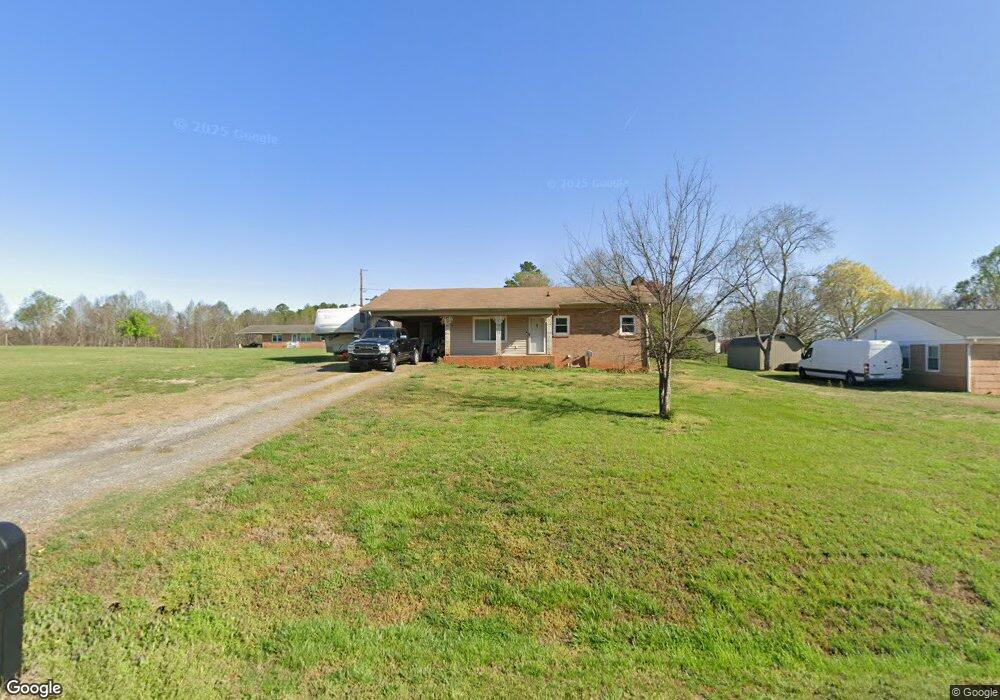
533 Sain Rd Unit 5 P/O 6 Mocksville, NC 27028
Estimated Value: $107,000 - $254,000
3
Beds
1
Bath
1,208
Sq Ft
$167/Sq Ft
Est. Value
About This Home
This home is located at 533 Sain Rd Unit 5 P/O 6, Mocksville, NC 27028 and is currently estimated at $202,130, approximately $167 per square foot. 533 Sain Rd Unit 5 P/O 6 is a home located in Davie County with nearby schools including Mocksville Elementary School, South Davie Middle, and Davie County High School.
Ownership History
Date
Name
Owned For
Owner Type
Purchase Details
Closed on
Jan 30, 2020
Sold by
Walters Rhonda H
Bought by
Walters Steve D
Current Estimated Value
Home Financials for this Owner
Home Financials are based on the most recent Mortgage that was taken out on this home.
Original Mortgage
$80,000
Interest Rate
2.8%
Mortgage Type
New Conventional
Purchase Details
Closed on
Oct 1, 1998
Purchase Details
Closed on
Apr 1, 1996
Purchase Details
Closed on
Apr 1, 1995
Create a Home Valuation Report for This Property
The Home Valuation Report is an in-depth analysis detailing your home's value as well as a comparison with similar homes in the area
Home Values in the Area
Average Home Value in this Area
Purchase History
| Date | Buyer | Sale Price | Title Company |
|---|---|---|---|
| Walters Steve D | $6,500 | Revenswood Title Company Llc | |
| -- | $95,000 | -- | |
| -- | $76,000 | -- | |
| -- | $66,000 | -- |
Source: Public Records
Mortgage History
| Date | Status | Borrower | Loan Amount |
|---|---|---|---|
| Previous Owner | Walters Steve D | $80,000 |
Source: Public Records
Tax History Compared to Growth
Tax History
| Year | Tax Paid | Tax Assessment Tax Assessment Total Assessment is a certain percentage of the fair market value that is determined by local assessors to be the total taxable value of land and additions on the property. | Land | Improvement |
|---|---|---|---|---|
| 2025 | $883 | $128,300 | $22,310 | $105,990 |
| 2024 | $984 | $127,270 | $25,000 | $102,270 |
| 2023 | $984 | $127,270 | $25,000 | $102,270 |
| 2022 | $990 | $127,270 | $25,000 | $102,270 |
| 2021 | $984 | $127,270 | $25,000 | $102,270 |
| 2020 | $949 | $121,950 | $25,000 | $96,950 |
| 2019 | $949 | $121,950 | $25,000 | $96,950 |
| 2018 | $949 | $121,950 | $25,000 | $96,950 |
| 2017 | $937 | $121,950 | $0 | $0 |
| 2016 | $962 | $125,280 | $0 | $0 |
| 2015 | $962 | $125,280 | $0 | $0 |
| 2014 | $827 | $125,280 | $0 | $0 |
| 2013 | -- | $125,280 | $0 | $0 |
Source: Public Records
Map
Nearby Homes
- 127 Arbor Hill Ave
- 153 Canyon Rd
- 117 Chandler Dr
- 130 S Madera Dr
- 138 S Madera Dr
- 0 Chandler Dr Unit 1195908
- 178 Nellwood Ct
- 195 Canyon Rd
- 125 Drayton Ct
- 0 Milling Rd
- 320 McClamrock Rd
- 122 (Lot 2) Whittaker Rd
- 122 (Lot 3) Whittaker Rd
- 222 Elm St
- 123 Creekside Dr
- 2418 US Highway 158
- 90 Whitney Rd
- 171 Lakeview Dr
- 150 Ariel Ct
- 00 Martin Luther King Junior Rd