533 Wansor Rd East Wakefield, NH 03830
Estimated Value: $332,000 - $404,000
2
Beds
1
Bath
1,102
Sq Ft
$331/Sq Ft
Est. Value
About This Home
This home is located at 533 Wansor Rd, East Wakefield, NH 03830 and is currently estimated at $364,482, approximately $330 per square foot. 533 Wansor Rd is a home with nearby schools including Paul Elementary School.
Ownership History
Date
Name
Owned For
Owner Type
Purchase Details
Closed on
Sep 12, 2005
Sold by
Brackett Richard J and Brackett Camille
Bought by
Robert T St Germain and Linda L St Germain
Current Estimated Value
Home Financials for this Owner
Home Financials are based on the most recent Mortgage that was taken out on this home.
Original Mortgage
$125,000
Outstanding Balance
$66,623
Interest Rate
5.79%
Mortgage Type
Purchase Money Mortgage
Estimated Equity
$297,859
Create a Home Valuation Report for This Property
The Home Valuation Report is an in-depth analysis detailing your home's value as well as a comparison with similar homes in the area
Home Values in the Area
Average Home Value in this Area
Purchase History
| Date | Buyer | Sale Price | Title Company |
|---|---|---|---|
| Robert T St Germain | $200,000 | -- |
Source: Public Records
Mortgage History
| Date | Status | Borrower | Loan Amount |
|---|---|---|---|
| Open | Robert T St Germain | $125,000 |
Source: Public Records
Tax History Compared to Growth
Tax History
| Year | Tax Paid | Tax Assessment Tax Assessment Total Assessment is a certain percentage of the fair market value that is determined by local assessors to be the total taxable value of land and additions on the property. | Land | Improvement |
|---|---|---|---|---|
| 2024 | $2,067 | $274,900 | $92,300 | $182,600 |
| 2023 | $1,813 | $264,600 | $92,300 | $172,300 |
| 2022 | $1,541 | $125,800 | $51,000 | $74,800 |
| 2021 | $1,488 | $120,600 | $51,000 | $69,600 |
| 2020 | $1,517 | $122,500 | $51,000 | $71,500 |
| 2019 | $1,528 | $122,500 | $51,000 | $71,500 |
| 2018 | $1,379 | $122,500 | $51,000 | $71,500 |
| 2017 | $1,818 | $143,700 | $81,800 | $61,900 |
| 2016 | $1,810 | $139,900 | $81,800 | $58,100 |
| 2015 | $1,827 | $139,900 | $81,800 | $58,100 |
| 2014 | $1,782 | $139,900 | $81,800 | $58,100 |
| 2013 | $1,718 | $139,900 | $81,800 | $58,100 |
Source: Public Records
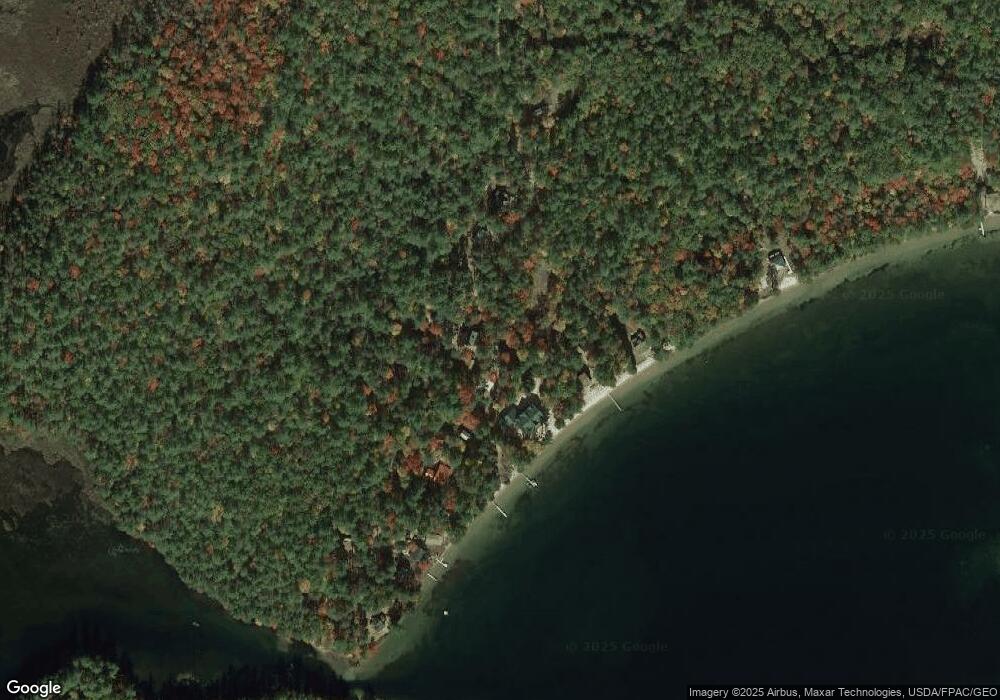
Map
Nearby Homes
- 97 Daniel Dr
- 1690 Province Lake Rd
- Lot #021 Abbott Rd
- 140 Perkins Hill Rd
- 0 Monique Dr Unit 5047887
- Lots 30+18 Thornhill Rd
- 204 Acton Ridge Rd Unit 204
- 149 Sleepy Hollow Rd
- 1618 Acton Ridge Rd
- 29 Concord Ln
- 55 Cese Way
- 2403 Province Lake Rd Unit 21000
- 253 Asbury Ln
- 115 Chandler Ln
- 30 White Birch Rd
- TBD Mann Rd
- 0 Whitehouse Rd
- 0 Island Dr
- 163 Buzzell Rd
- 57 Green Bay Rd