5330 Loon Nest Ct Apollo Beach, FL 33572
Estimated Value: $1,067,000 - $1,229,000
5
Beds
4
Baths
4,096
Sq Ft
$285/Sq Ft
Est. Value
About This Home
This home is located at 5330 Loon Nest Ct, Apollo Beach, FL 33572 and is currently estimated at $1,168,713, approximately $285 per square foot. 5330 Loon Nest Ct is a home located in Hillsborough County with nearby schools including Apollo Beach Elementary School, Eisenhower Middle School, and Lennard High School.
Ownership History
Date
Name
Owned For
Owner Type
Purchase Details
Closed on
Nov 15, 2007
Sold by
Nohl Crest Homes Corp
Bought by
Robelli James P and Robelli Sally J
Current Estimated Value
Home Financials for this Owner
Home Financials are based on the most recent Mortgage that was taken out on this home.
Original Mortgage
$805,500
Outstanding Balance
$525,710
Interest Rate
7%
Mortgage Type
Unknown
Estimated Equity
$643,003
Create a Home Valuation Report for This Property
The Home Valuation Report is an in-depth analysis detailing your home's value as well as a comparison with similar homes in the area
Home Values in the Area
Average Home Value in this Area
Purchase History
| Date | Buyer | Sale Price | Title Company |
|---|---|---|---|
| Robelli James P | $805,000 | Attorney |
Source: Public Records
Mortgage History
| Date | Status | Borrower | Loan Amount |
|---|---|---|---|
| Open | Robelli James P | $805,500 |
Source: Public Records
Tax History Compared to Growth
Tax History
| Year | Tax Paid | Tax Assessment Tax Assessment Total Assessment is a certain percentage of the fair market value that is determined by local assessors to be the total taxable value of land and additions on the property. | Land | Improvement |
|---|---|---|---|---|
| 2024 | $14,603 | $529,453 | -- | -- |
| 2023 | $14,320 | $514,032 | $0 | $0 |
| 2022 | $14,019 | $499,060 | $0 | $0 |
| 2021 | $13,587 | $484,524 | $0 | $0 |
| 2020 | $13,465 | $477,834 | $0 | $0 |
| 2019 | $12,838 | $467,091 | $0 | $0 |
| 2018 | $13,253 | $458,382 | $0 | $0 |
| 2017 | $12,660 | $516,154 | $0 | $0 |
| 2016 | $12,248 | $439,720 | $0 | $0 |
| 2015 | $12,432 | $436,663 | $0 | $0 |
| 2014 | $12,564 | $433,197 | $0 | $0 |
| 2013 | -- | $426,795 | $0 | $0 |
Source: Public Records
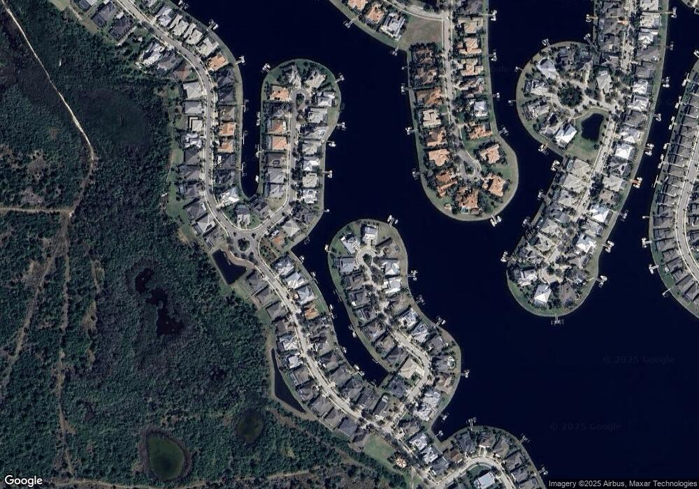
Map
Nearby Homes
- 706 Manns Harbor Dr
- 708 Manns Harbor Dr
- 5408 Tybee Island Dr
- 5405 Tybee Island Dr
- 5405 Merritt Island Dr
- 5417 Tybee Island Dr
- 729 Manns Harbor Dr
- 5307 Wishing Arch Dr
- 517 Mirabay Blvd
- 612 Mirabay Blvd
- 5603 Tybee Island Dr
- 624 Balibay Rd
- 623 Winterside Dr
- 707 Winterside Dr
- 705 Winterside Dr
- 407 Sandsend Ct
- 624 Winterside Dr
- 729 Winterside Dr
- 5221 Wishing Arch Dr
- 610 Winterside Dr
- 5328 Loon Nest Ct
- 5331 Loon Nest Ct
- 5326 Loon Nest Ct
- 5329 Loon Nest Ct
- 5327 Loon Nest Ct
- 5309 Fishersound Ln
- 5324 Loon Nest Ct
- 635 Manns Harbor Dr
- 5325 Loon Nest Ct
- 637 Manns Harbor Dr
- 5322 Loon Nest Ct
- 5311 Fishersound Ln
- 631 Manns Harbor Dr
- 5321 Loon Nest Ct
- 5310 Fishersound Ln
- 629 Manns Harbor Dr
- 5304 Fishersound Ln
- 5320 Loon Nest Ct
- 5307 Fishersound Ln