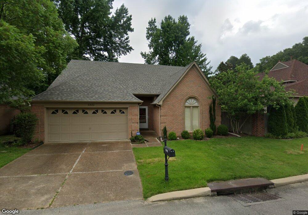
5332 Bears Paw Cir Memphis, TN 38120
Audubon Park NeighborhoodEstimated Value: $339,000 - $403,000
3
Beds
3
Baths
2,824
Sq Ft
$128/Sq Ft
Est. Value
About This Home
This home is located at 5332 Bears Paw Cir, Memphis, TN 38120 and is currently estimated at $361,499, approximately $128 per square foot. 5332 Bears Paw Cir is a home located in Shelby County with nearby schools including Richland Elementary School, White Station Middle, and White Station High.
Ownership History
Date
Name
Owned For
Owner Type
Purchase Details
Closed on
Oct 22, 2009
Sold by
Hale Joseph Theodore and Hale Jo Frances
Bought by
Zhan Jun and Guan Peihong
Current Estimated Value
Home Financials for this Owner
Home Financials are based on the most recent Mortgage that was taken out on this home.
Original Mortgage
$180,800
Outstanding Balance
$117,818
Interest Rate
5.04%
Mortgage Type
New Conventional
Estimated Equity
$243,681
Purchase Details
Closed on
Mar 1, 2000
Sold by
Hale Joseph T and Hale Frances Jo
Bought by
Hale Joseph Theodore and Hale Jo Frances
Create a Home Valuation Report for This Property
The Home Valuation Report is an in-depth analysis detailing your home's value as well as a comparison with similar homes in the area
Home Values in the Area
Average Home Value in this Area
Purchase History
| Date | Buyer | Sale Price | Title Company |
|---|---|---|---|
| Zhan Jun | $226,000 | Realty Title & Escrow Co | |
| Hale Joseph Theodore | -- | -- |
Source: Public Records
Mortgage History
| Date | Status | Borrower | Loan Amount |
|---|---|---|---|
| Open | Zhan Jun | $180,800 |
Source: Public Records
Tax History Compared to Growth
Tax History
| Year | Tax Paid | Tax Assessment Tax Assessment Total Assessment is a certain percentage of the fair market value that is determined by local assessors to be the total taxable value of land and additions on the property. | Land | Improvement |
|---|---|---|---|---|
| 2025 | -- | $87,525 | $13,375 | $74,150 |
| 2024 | $2,431 | $71,725 | $13,375 | $58,350 |
| 2023 | $4,369 | $71,725 | $13,375 | $58,350 |
| 2022 | $4,369 | $71,725 | $13,375 | $58,350 |
| 2021 | $4,420 | $71,725 | $13,375 | $58,350 |
| 2020 | $4,040 | $55,750 | $13,375 | $42,375 |
| 2019 | $4,040 | $55,750 | $13,375 | $42,375 |
| 2018 | $4,040 | $55,750 | $13,375 | $42,375 |
| 2017 | $2,291 | $55,750 | $13,375 | $42,375 |
| 2016 | $2,371 | $54,250 | $0 | $0 |
| 2014 | $2,371 | $54,250 | $0 | $0 |
Source: Public Records
Map
Nearby Homes
- 496 Chalmers Rd
- 536 Wheaton Park Cove N
- 580 N Oak Grove Rd
- 446 Rosser Rd
- 430 Mcelroy Rd
- 529 Fleda Rd
- 422 Mcelroy Rd
- 448 N White Station Rd
- 551 N White Station Rd
- 379 Mcelroy Rd
- 5137 Whitehall Ave
- 5176 White Cliff Dr
- 432 Malboro Rd
- 424 Malboro Rd
- 5362 Wilton Ave
- 5119 Tarrytown Dr
- 5468 Mason Rd
- 5238 Peg Ln
- 296 N White Station Rd
- 5121 Lynbar Ave
- 5326 Bears Paw Cir
- 517 Mcelroy Rd
- 5331 McKans Cove
- 5327 McKans Cove
- 5320 Bears Paw Cir
- 5260 Bears Paw Cir
- 529 Mcelroy Rd
- 507 Mcelroy Rd
- 5321 McKans Cove
- 5315 McKans Cove
- 5264 Bears Paw Cir
- 5315 Bears Paw Cir
- 5334 McKans Cove
- 5328 McKans Cove
- 5308 Bears Paw Cir
- 5263 Bears Paw Cir
- 541 Mcelroy Rd
- 5322 McKans Cove
- 5309 McKans Cove
- 5268 Bears Paw Cir