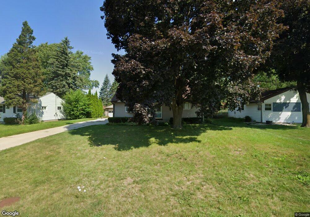
5332 W Dean Rd Milwaukee, WI 53223
Estimated Value: $294,000 - $327,000
4
Beds
2
Baths
1,752
Sq Ft
$179/Sq Ft
Est. Value
About This Home
This home is located at 5332 W Dean Rd, Milwaukee, WI 53223 and is currently estimated at $313,219, approximately $178 per square foot. 5332 W Dean Rd is a home located in Milwaukee County with nearby schools including Brown Deer Elementary School, Brown Deer Middle/High School, and Institute of Technology and Academics.
Ownership History
Date
Name
Owned For
Owner Type
Purchase Details
Closed on
Nov 16, 2020
Sold by
Belfield Beverly J
Bought by
Weathers Audrey D
Current Estimated Value
Home Financials for this Owner
Home Financials are based on the most recent Mortgage that was taken out on this home.
Original Mortgage
$211,105
Outstanding Balance
$187,853
Interest Rate
2.8%
Mortgage Type
FHA
Estimated Equity
$125,366
Create a Home Valuation Report for This Property
The Home Valuation Report is an in-depth analysis detailing your home's value as well as a comparison with similar homes in the area
Home Values in the Area
Average Home Value in this Area
Purchase History
| Date | Buyer | Sale Price | Title Company |
|---|---|---|---|
| Weathers Audrey D | $215,000 | Knight Barry Title Inc |
Source: Public Records
Mortgage History
| Date | Status | Borrower | Loan Amount |
|---|---|---|---|
| Open | Weathers Audrey D | $211,105 |
Source: Public Records
Tax History Compared to Growth
Tax History
| Year | Tax Paid | Tax Assessment Tax Assessment Total Assessment is a certain percentage of the fair market value that is determined by local assessors to be the total taxable value of land and additions on the property. | Land | Improvement |
|---|---|---|---|---|
| 2024 | $5,403 | $282,200 | $35,500 | $246,700 |
| 2023 | $5,403 | -- | -- | -- |
| 2022 | $5,403 | $248,200 | $35,500 | $212,700 |
| 2021 | $5,185 | $215,000 | $35,500 | $179,500 |
| 2020 | $4,199 | $162,400 | $35,500 | $126,900 |
| 2019 | $3,783 | $128,700 | $35,500 | $93,200 |
| 2018 | $3,725 | $128,700 | $35,500 | $93,200 |
| 2017 | $3,579 | $128,700 | $35,500 | $93,200 |
| 2016 | $3,669 | $128,700 | $35,500 | $93,200 |
| 2015 | $3,759 | $128,700 | $35,500 | $93,200 |
| 2014 | $4,305 | $147,400 | $43,900 | $103,500 |
| 2013 | $4,413 | $147,400 | $43,900 | $103,500 |
Source: Public Records
Map
Nearby Homes
- 5400 W Dean Rd
- 8274 N 55th St
- 8254 N 55th St
- 8608 N 53rd St
- 5665 W Range Ave
- 8707 N 52nd St
- 5650 W Wahner Ave Unit 206
- 6206 W Fairlane Ave
- 6039 W Tower Ave
- 5901 W Brown Deer Rd Unit 117
- 8684 N 62nd St
- 8680 N 63rd St
- 8025 N 62nd St
- 4730 W Bradley Rd
- 8104 N 44th St
- 8031 N 44th St
- 7871 N 60th St
- 7744 N Fairway Place
- 8361 N Cedarburg Rd
- 7769 N Delta Place
- 5333 W Dean Rd
- 5322 W Dean Rd
- 5323 W Dean Rd
- 5401 W Dean Rd
- 5313 W Dean Rd
- 5410 W Dean Rd
- 5411 W Dean Rd
- 5303 W Dean Rd
- 5420 W Dean Rd
- 5300 W Dean Rd
- 5333 W Donna Dr
- 5421 W Dean Rd
- 5345 W Donna Dr
- 5323 W Donna Dr
- 5355 W Donna Dr
- 5235 W Dean Rd
- 5313 W Donna Dr
- 5230 W Dean Rd
- 5430 W Dean Rd
- 5405 W Donna Dr