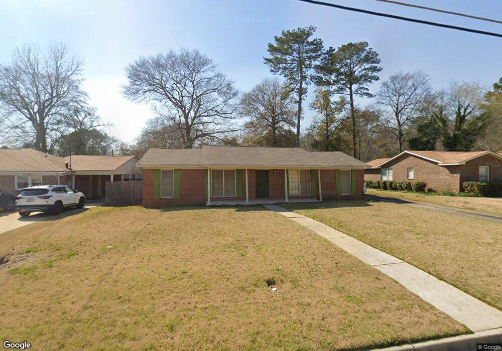
5337 Rockhurst Dr Columbus, GA 31907
Midland NeighborhoodEstimated Value: $186,000 - $232,000
3
Beds
3
Baths
1,608
Sq Ft
$132/Sq Ft
Est. Value
About This Home
This home is located at 5337 Rockhurst Dr, Columbus, GA 31907 and is currently estimated at $212,946, approximately $132 per square foot. 5337 Rockhurst Dr is a home located in Muscogee County with nearby schools including Waddell Elementary School, Midland Middle School, and Hardaway High School.
Ownership History
Date
Name
Owned For
Owner Type
Purchase Details
Closed on
May 17, 2019
Sold by
Olah Edgar
Bought by
Olah Ralf
Current Estimated Value
Purchase Details
Closed on
May 8, 2019
Sold by
Olah Monika
Bought by
Olah Ralf
Purchase Details
Closed on
May 7, 2019
Sold by
Olah Gisela G
Bought by
Olah Ralf and Olah Edgar
Create a Home Valuation Report for This Property
The Home Valuation Report is an in-depth analysis detailing your home's value as well as a comparison with similar homes in the area
Home Values in the Area
Average Home Value in this Area
Purchase History
| Date | Buyer | Sale Price | Title Company |
|---|---|---|---|
| Olah Ralf | -- | -- | |
| Olah Ralf | -- | -- | |
| Olah Ralf | -- | -- |
Source: Public Records
Tax History Compared to Growth
Tax History
| Year | Tax Paid | Tax Assessment Tax Assessment Total Assessment is a certain percentage of the fair market value that is determined by local assessors to be the total taxable value of land and additions on the property. | Land | Improvement |
|---|---|---|---|---|
| 2025 | $1,156 | $51,020 | $10,696 | $40,324 |
| 2024 | $1,156 | $51,020 | $10,696 | $40,324 |
| 2023 | $440 | $63,064 | $10,696 | $52,368 |
| 2022 | $2,053 | $50,280 | $10,696 | $39,584 |
| 2021 | $1,974 | $48,344 | $10,696 | $37,648 |
| 2020 | $1,974 | $48,344 | $10,696 | $37,648 |
| 2019 | $1,981 | $48,344 | $10,696 | $37,648 |
| 2018 | $1,082 | $48,344 | $10,696 | $37,648 |
| 2017 | $1,086 | $48,344 | $10,696 | $37,648 |
| 2016 | $1,090 | $47,917 | $5,836 | $42,081 |
| 2015 | $1,090 | $47,917 | $5,836 | $42,081 |
| 2014 | $1,090 | $47,917 | $5,836 | $42,081 |
| 2013 | -- | $47,917 | $5,836 | $42,081 |
Source: Public Records
Map
Nearby Homes
- 5434 Rockhurst Dr
- 6215 Parker Dr
- 6236 Olde Towne Dr
- 5640 Lakeshore Rd
- 5717 Flat Rock Rd
- 5804 Dearborn Ave
- 4931 Woodruff Farm Rd
- 7101 Cross Tie Dr
- 5966 Fornof Rd
- 4700 Bondale Dr
- 6321 Milgen Rd Unit 3
- 5408 Old Dominion Rd
- 5422 Colony Dr
- 6222 Goodwin Dr
- 5324 Colony Dr
- 6251 Rockefeller Dr
- 7170 Beaver Run Rd
- 4628 Sears Rd
- 6454 Patriot Dr
- 0 Bondale Dr Unit 11578793
- 5331 Rockhurst Dr
- 5343 Rockhurst Dr
- 6346 Parker Dr
- 5325 Rockhurst Dr
- 5349 Rockhurst Dr
- 5334 Rockhurst Dr
- 6352 Parker Dr
- 6332 Parker Dr
- 5326 Rockhurst Dr
- 5355 Rockhurst Dr
- 2 Parker Ct
- 5319 Rockhurst Dr
- 5320 Rockhurst Dr
- 2 Wabash Ct
- 6360 Parker Dr
- 5354 Rockhurst Dr
- 5363 Rockhurst Dr
- 6415 Thornhill Dr
- 6325 Thornhill Dr
- 6328 Parker Dr