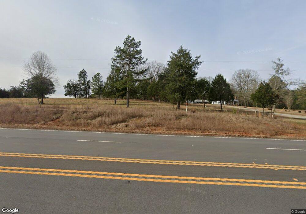
5339 Thomson Hwy Lincolnton, GA 30817
Estimated Value: $708,000 - $759,000
--
Bed
--
Bath
1,710
Sq Ft
$425/Sq Ft
Est. Value
About This Home
This home is located at 5339 Thomson Hwy, Lincolnton, GA 30817 and is currently estimated at $727,310, approximately $425 per square foot. 5339 Thomson Hwy is a home located in Lincoln County with nearby schools including Lincoln County Elementary School, Lincoln County Middle School, and Lincoln County High School.
Ownership History
Date
Name
Owned For
Owner Type
Purchase Details
Closed on
Jul 31, 2024
Sold by
Edmunds Cathy B
Bought by
James Brandon P
Current Estimated Value
Purchase Details
Closed on
Oct 5, 2023
Sold by
Edmunds Garrett Earl
Bought by
Edmunds Cathy B and Edmunds Garrett Earl
Purchase Details
Closed on
Jun 27, 1960
Bought by
Edmunds Mrs Lon
Create a Home Valuation Report for This Property
The Home Valuation Report is an in-depth analysis detailing your home's value as well as a comparison with similar homes in the area
Home Values in the Area
Average Home Value in this Area
Purchase History
| Date | Buyer | Sale Price | Title Company |
|---|---|---|---|
| James Brandon P | $80,000 | -- | |
| Edmunds Cathy B | -- | -- | |
| Edmunds Frederick A | -- | -- | |
| Edmunds Cathy B | -- | -- | |
| Edmunds Mrs Lon | $1,500 | -- |
Source: Public Records
Tax History Compared to Growth
Tax History
| Year | Tax Paid | Tax Assessment Tax Assessment Total Assessment is a certain percentage of the fair market value that is determined by local assessors to be the total taxable value of land and additions on the property. | Land | Improvement |
|---|---|---|---|---|
| 2025 | $2,913 | $107,200 | $51,760 | $55,440 |
| 2024 | $2,528 | $87,600 | $36,680 | $50,920 |
| 2023 | $2,034 | $77,356 | $32,720 | $44,636 |
| 2022 | $1,666 | $75,556 | $32,720 | $42,836 |
| 2021 | $1,573 | $66,292 | $27,480 | $38,812 |
| 2020 | $1,614 | $60,292 | $26,720 | $33,572 |
| 2019 | $1,615 | $60,292 | $26,720 | $33,572 |
| 2018 | $1,895 | $60,292 | $26,720 | $33,572 |
| 2017 | $2,137 | $67,978 | $40,240 | $27,738 |
| 2016 | $1,324 | $29,618 | $1,880 | $27,738 |
| 2015 | -- | $67,978 | $40,240 | $27,738 |
| 2014 | -- | $67,978 | $40,240 | $27,738 |
| 2013 | -- | $67,978 | $40,240 | $27,738 |
Source: Public Records
Map
Nearby Homes
- 0 Hephzibah Church Rd
- 5570 Coxville Rd
- 0000 Mary Boyd Rd
- 5532/5556 Oak Rd
- 0 Longleaf Dr
- 8010 Lakeside Dr
- 5608 Lincolnton Rd NE
- 1312 Amity-Woodlawn Rd
- LOT3 Hephzibah Church Rd
- LOT2 Hephzibah Church Rd
- LOT5 Hephzibah Church Rd
- LOT4 Hephzibah Church Rd
- 7333 Lakeside Dr
- 2534 Georgia 220
- 00 Crook Rd
- 7622 Winfield Hills Rd
- 0 Dove Ct Unit 545783
- 265 Lost Pond Ln
- 0 Aramathea Church Rd
- 3540 Mistletoe Rd
- 5339B Thomson Hwy
- 5339 Thomson Hwy
- 5344 Thomson Hwy
- 5324 Thomson Hwy
- 5304 Thomson Hwy
- 5232 Thomson Hwy
- 5196 Thomson Hwy
- 5522 Thomson Hwy
- 5524 Thomson Hwy
- 5086 Thomson Hwy
- 622 Williams Rd
- 1025 Williams Rd
- 5596 Thomson Hwy
- 1030 Williams Rd
- 5610 Thomson Hwy
- 4988 Thomson Hwy
- 5660 Thomson Hwy
- 1099 Larkspur Rd
- 4905 Thomson Hwy
- 4876 Thomson Hwy