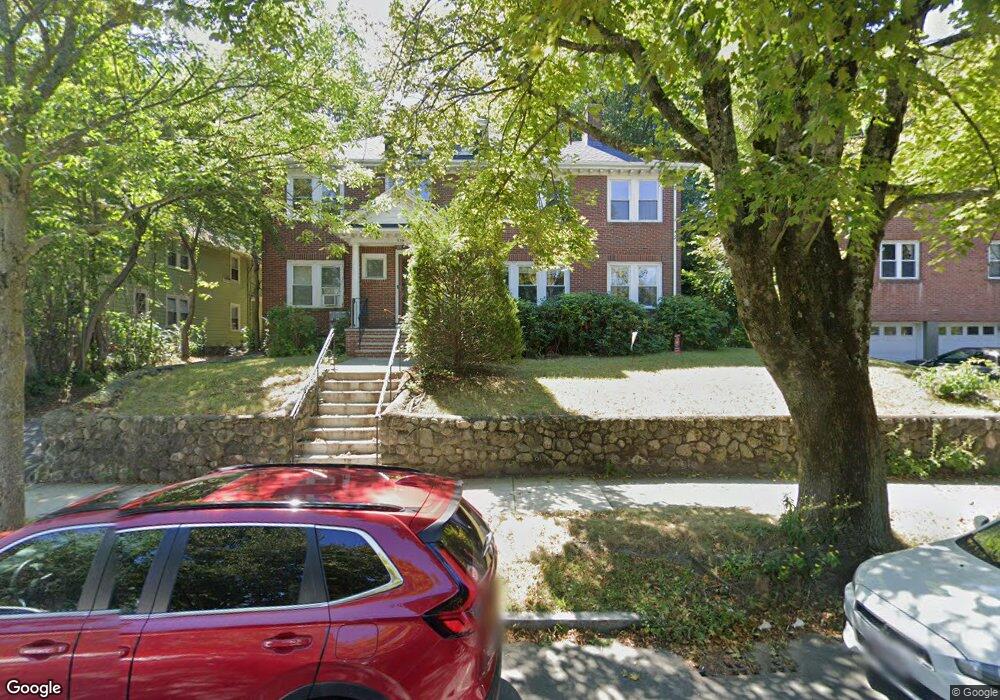
534 Commonwealth Ave Unit 536 Newton Center, MA 02459
Newton Centre NeighborhoodEstimated Value: $1,642,000 - $1,910,470
6
Beds
2
Baths
3,014
Sq Ft
$576/Sq Ft
Est. Value
About This Home
This home is located at 534 Commonwealth Ave Unit 536, Newton Center, MA 02459 and is currently estimated at $1,735,618, approximately $575 per square foot. 534 Commonwealth Ave Unit 536 is a home located in Middlesex County with nearby schools including Ward Elementary School, Mason Rice Elementary School, and Charles E Brown Middle School.
Ownership History
Date
Name
Owned For
Owner Type
Purchase Details
Closed on
Jun 11, 2018
Sold by
534 Commonwealth Ave R
Bought by
Koufos Ft 2018
Current Estimated Value
Purchase Details
Closed on
Dec 31, 2008
Sold by
Koufos George
Bought by
534 Commonwealth Ave R and Koufos George
Purchase Details
Closed on
Apr 16, 2008
Sold by
Koufas George J
Bought by
Koufos George
Create a Home Valuation Report for This Property
The Home Valuation Report is an in-depth analysis detailing your home's value as well as a comparison with similar homes in the area
Home Values in the Area
Average Home Value in this Area
Purchase History
| Date | Buyer | Sale Price | Title Company |
|---|---|---|---|
| Koufos Ft 2018 | -- | -- | |
| 534 Commonwealth Ave R | -- | -- | |
| Koufos George | -- | -- |
Source: Public Records
Tax History Compared to Growth
Tax History
| Year | Tax Paid | Tax Assessment Tax Assessment Total Assessment is a certain percentage of the fair market value that is determined by local assessors to be the total taxable value of land and additions on the property. | Land | Improvement |
|---|---|---|---|---|
| 2025 | $13,099 | $1,336,600 | $1,022,800 | $313,800 |
| 2024 | $12,691 | $1,300,300 | $993,000 | $307,300 |
| 2023 | $12,164 | $1,194,900 | $804,900 | $390,000 |
| 2022 | $11,639 | $1,106,400 | $745,300 | $361,100 |
| 2021 | $10,921 | $1,015,000 | $683,800 | $331,200 |
| 2020 | $10,597 | $1,015,000 | $683,800 | $331,200 |
| 2019 | $9,913 | $948,600 | $639,100 | $309,500 |
| 2018 | $9,925 | $917,300 | $599,700 | $317,600 |
| 2017 | $9,359 | $841,600 | $550,200 | $291,400 |
| 2016 | $8,786 | $772,100 | $504,800 | $267,300 |
| 2015 | $8,378 | $721,600 | $471,800 | $249,800 |
Source: Public Records
Map
Nearby Homes
- 44 Irving St
- 21 Francis St Unit 21A
- 92 Grant Ave
- 23 Francis St Unit 23-1
- 1004 Centre St
- 31 W Boulevard Rd
- 9 The Ledges Rd
- 145 Warren St Unit 4
- 173-175 Warren St
- 73 Elmore St
- 5 Merrill Rd
- 5 Hammond St
- 154 Langley Rd Unit 1
- 9 Ripley St Unit 1
- 3 Cedar St
- Lot 3 Chapin Rd
- Lot 2 Chapin Rd
- Lots 2 & 3 Chapin Rd
- 20 Bartlett Terrace
- 104 Woodchester Dr
- 528 Commonwealth Ave
- 538 Commonwealth Ave Unit 540
- 538 Commonwealth Ave Unit 2
- 540 Commonwealth Ave Unit 1
- 530 Commonwealth Ave
- 526 Commonwealth Ave Unit 2
- 524 Commonwealth Ave Unit 526
- 542 Commonwealth Ave
- 31 Devon Rd
- 25 Devon Rd
- 8 Devon Terrace
- 11 Read Ct
- 520 Commonwealth Ave Unit 522
- 49 N Roadway
- 546 Commonwealth Ave
- 546 Commonwealth Ave Unit 2
- 546 Commonwealth Ave Unit 1
- 546 Commonwealth Ave Unit 1A
- 25 E Roadway
- 25 E Roadway Unit House