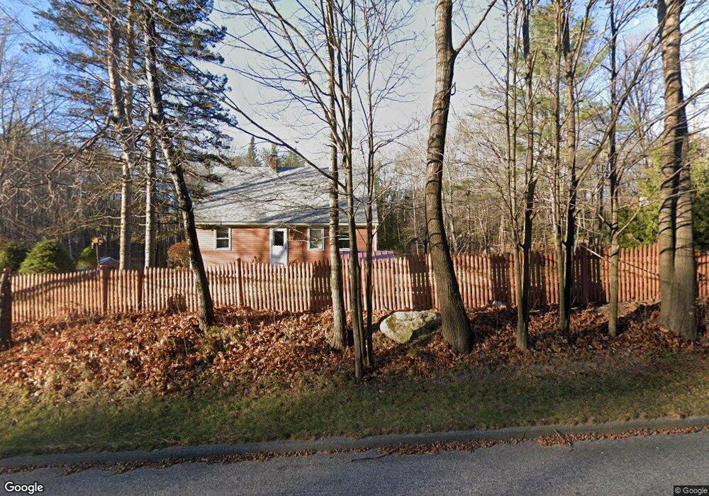
534 Maine St New Gloucester, ME 04260
Estimated Value: $335,000 - $379,000
4
Beds
1
Bath
884
Sq Ft
$403/Sq Ft
Est. Value
About This Home
This home is located at 534 Maine St, New Gloucester, ME 04260 and is currently estimated at $356,601, approximately $403 per square foot. 534 Maine St is a home located in Cumberland County with nearby schools including Gray-New Gloucester High School.
Create a Home Valuation Report for This Property
The Home Valuation Report is an in-depth analysis detailing your home's value as well as a comparison with similar homes in the area
Home Values in the Area
Average Home Value in this Area
Tax History Compared to Growth
Tax History
| Year | Tax Paid | Tax Assessment Tax Assessment Total Assessment is a certain percentage of the fair market value that is determined by local assessors to be the total taxable value of land and additions on the property. | Land | Improvement |
|---|---|---|---|---|
| 2025 | $2,661 | $172,024 | $62,390 | $109,634 |
| 2024 | $2,561 | $172,024 | $62,390 | $109,634 |
| 2023 | $2,458 | $172,024 | $62,390 | $109,634 |
| 2022 | $2,374 | $172,024 | $62,390 | $109,634 |
| 2021 | $2,374 | $172,024 | $62,390 | $109,634 |
| 2020 | $2,348 | $172,024 | $62,390 | $109,634 |
| 2019 | $2,647 | $156,600 | $56,100 | $100,500 |
| 2018 | $2,474 | $156,600 | $56,100 | $100,500 |
| 2017 | $2,443 | $156,600 | $56,100 | $100,500 |
| 2016 | $2,302 | $156,600 | $56,100 | $100,500 |
| 2015 | $2,294 | $156,600 | $56,100 | $100,500 |
| 2014 | $2,271 | $156,600 | $56,100 | $100,500 |
| 2013 | $2,106 | $156,600 | $56,100 | $100,500 |
Source: Public Records
Map
Nearby Homes
- 423 Sabbathday Rd
- 14 Golden Way
- 24 Swamp Rd
- 148 Spiller Hill Rd
- 00 N Shore Rd
- 26 Carpenter Rd
- 161 Beaver Dam Dr
- 271 Bennett Rd
- TBD Targett Rd
- 22 Shaw Rd
- 46-47D Hines Rd & Main St
- 80 Spiller Hill Rd
- Lot 47D -C Hines Rd
- 343 Shaker Rd
- 15 May Meadow Dr
- 4 Chelsey Ln
- 4 Colonial Dr
- 255 Raymond Hill Rd
- 0 Gladstone Dr Unit 1642697
- 0 Mountain Rd