534 Ridge Rd Stevensville, MT 59870
Estimated Value: $172,000 - $783,000
3
Beds
2
Baths
1,716
Sq Ft
$319/Sq Ft
Est. Value
About This Home
This home is located at 534 Ridge Rd, Stevensville, MT 59870 and is currently estimated at $546,604, approximately $318 per square foot. 534 Ridge Rd is a home located in Ravalli County with nearby schools including Lone Rock Elementary School, Lone Rock Junior High School, and Stevensville High School.
Ownership History
Date
Name
Owned For
Owner Type
Purchase Details
Closed on
May 28, 2014
Bought by
Foster Thomas M Te and Foster Patricia A Te
Current Estimated Value
Home Financials for this Owner
Home Financials are based on the most recent Mortgage that was taken out on this home.
Original Mortgage
$104,575
Outstanding Balance
$75,737
Interest Rate
4.23%
Mortgage Type
New Conventional
Estimated Equity
$470,867
Purchase Details
Closed on
Mar 28, 2003
Bought by
Foster Family Trust and Foster Family Trust
Create a Home Valuation Report for This Property
The Home Valuation Report is an in-depth analysis detailing your home's value as well as a comparison with similar homes in the area
Home Values in the Area
Average Home Value in this Area
Purchase History
| Date | Buyer | Sale Price | Title Company |
|---|---|---|---|
| Foster Thomas M Te | -- | -- | |
| Foster Family Trust | -- | -- |
Source: Public Records
Mortgage History
| Date | Status | Borrower | Loan Amount |
|---|---|---|---|
| Open | Foster Thomas M Te | $104,575 | |
| Closed | Foster Thomas M Te | $74,000 |
Source: Public Records
Tax History Compared to Growth
Tax History
| Year | Tax Paid | Tax Assessment Tax Assessment Total Assessment is a certain percentage of the fair market value that is determined by local assessors to be the total taxable value of land and additions on the property. | Land | Improvement |
|---|---|---|---|---|
| 2025 | $2,320 | $617,000 | $0 | $0 |
| 2024 | $2,878 | $487,500 | $0 | $0 |
| 2023 | $3,385 | $487,500 | $0 | $0 |
| 2022 | $2,418 | $360,700 | $0 | $0 |
| 2021 | $2,733 | $360,700 | $0 | $0 |
| 2020 | $2,965 | $318,000 | $0 | $0 |
| 2019 | $2,606 | $318,000 | $0 | $0 |
| 2018 | $2,972 | $311,300 | $0 | $0 |
| 2017 | $2,744 | $311,300 | $0 | $0 |
| 2016 | $2,995 | $351,200 | $0 | $0 |
| 2015 | $3,080 | $351,200 | $0 | $0 |
| 2014 | $2,749 | $183,592 | $0 | $0 |
Source: Public Records
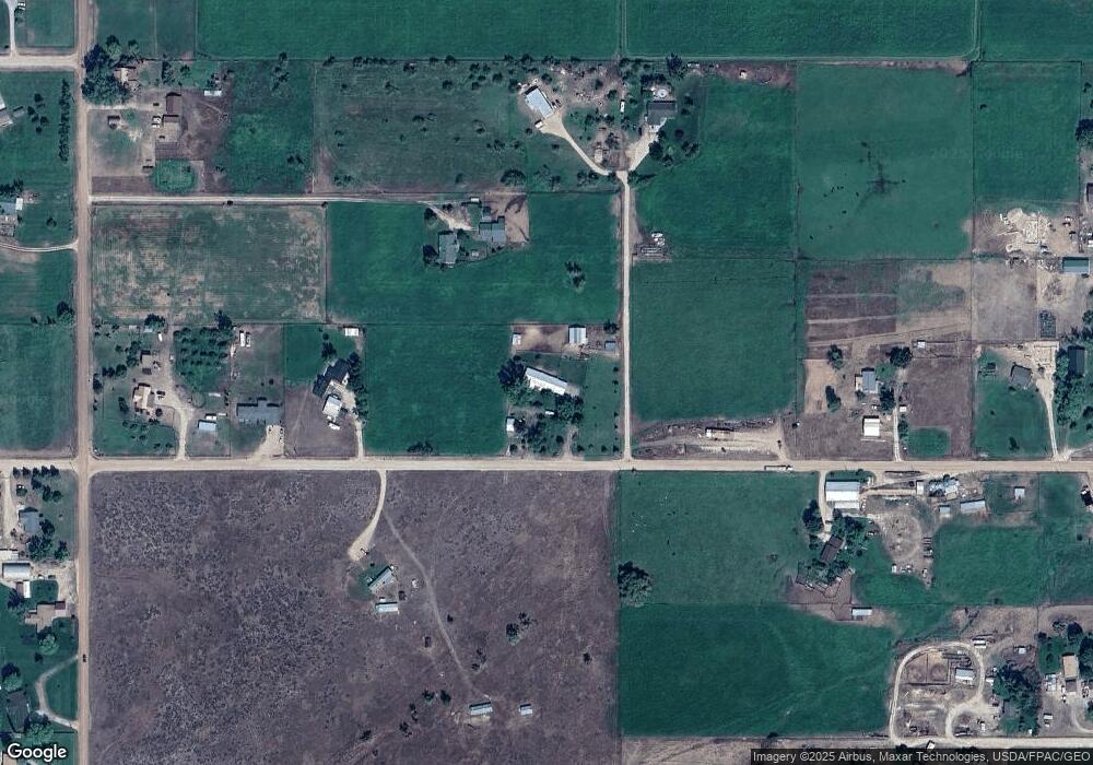
Map
Nearby Homes
- 571 Ridge Rd
- 674 Porter Hill Rd
- Lot 5 - PHASE 2 Broken Spoke Rd
- Lot 4 - PHASE 2 Broken Spoke Rd
- 4735 Drake Ln
- Lot 3 - PHASE 2 Broken Spoke Rd
- 4488 Collie Ct
- NHN - Lot 2, phase 3 Broken Spoke Rd
- 4769 Northview Dr
- 4594 Broken Spoke Rd
- 552 Pat Ln
- 542 Pioneer Way
- 4728 Northview Dr
- 201 Barnwood Way
- 4784 Cameron Rose Ln
- 4440 Sunburst Ln
- 444 Windwalker Trail
- 688 Black Horse Trail
- 4472 Tripp Ln
- 4775 Chokecherry Ln