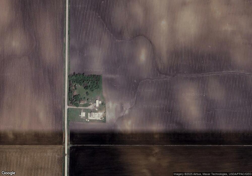
5340 120th Ave Storm Lake, IA 50588
Estimated Value: $211,120 - $338,000
4
Beds
2
Baths
1,976
Sq Ft
$133/Sq Ft
Est. Value
About This Home
This home is located at 5340 120th Ave, Storm Lake, IA 50588 and is currently estimated at $262,373, approximately $132 per square foot. 5340 120th Ave is a home located in Buena Vista County.
Ownership History
Date
Name
Owned For
Owner Type
Purchase Details
Closed on
Nov 1, 2013
Sold by
Poor Reds Farms L L C
Bought by
Hocking Justin and Connolly April L
Current Estimated Value
Purchase Details
Closed on
Sep 15, 2011
Sold by
Pearce Deann J
Bought by
Poor Reds Farm Llc
Home Financials for this Owner
Home Financials are based on the most recent Mortgage that was taken out on this home.
Original Mortgage
$64,737
Interest Rate
4.14%
Mortgage Type
Future Advance Clause Open End Mortgage
Create a Home Valuation Report for This Property
The Home Valuation Report is an in-depth analysis detailing your home's value as well as a comparison with similar homes in the area
Home Values in the Area
Average Home Value in this Area
Purchase History
| Date | Buyer | Sale Price | Title Company |
|---|---|---|---|
| Hocking Justin | -- | None Available | |
| Poor Reds Farm Llc | $60,000 | None Available |
Source: Public Records
Mortgage History
| Date | Status | Borrower | Loan Amount |
|---|---|---|---|
| Previous Owner | Poor Reds Farm Llc | $64,737 |
Source: Public Records
Tax History Compared to Growth
Tax History
| Year | Tax Paid | Tax Assessment Tax Assessment Total Assessment is a certain percentage of the fair market value that is determined by local assessors to be the total taxable value of land and additions on the property. | Land | Improvement |
|---|---|---|---|---|
| 2025 | $1,864 | $163,500 | $25,030 | $138,470 |
| 2024 | $1,864 | $163,500 | $25,030 | $138,470 |
| 2023 | $1,607 | $163,500 | $25,030 | $138,470 |
| 2022 | $1,476 | $125,140 | $25,030 | $100,110 |
| 2021 | $1,493 | $125,140 | $25,030 | $100,110 |
| 2020 | $1,382 | $107,020 | $19,250 | $87,770 |
| 2019 | $1,097 | $107,020 | $19,250 | $87,770 |
| 2018 | $1,084 | $88,510 | $20,020 | $68,490 |
| 2017 | $1,044 | $88,510 | $20,020 | $68,490 |
| 2016 | $1,026 | $84,350 | $20,020 | $64,330 |
| 2015 | $1,026 | $81,110 | $0 | $0 |
| 2014 | $976 | $84,110 | $0 | $0 |
Source: Public Records
Map
Nearby Homes
- 205 County Rd
- 1105 560th St
- 5827 105th Ave
- 1745 555th St
- 1416 Michigan St Unit C1
- 1317 Seneca St Unit 108
- 1317 Seneca St Unit 303
- 1201 Seneca St
- 1121 Spooner St
- 318 E 10th St
- 1001 E 8th St
- 1311 E 7th St
- 710 Geisinger Rd Unit 12
- 0 120th Ave
- 600 E 7th St
- 1711 Tulip Ln
- 1022 Northwestern Dr
- 522 Russell St
- 4727 90th Ave
- 912 Pleasantview Dr