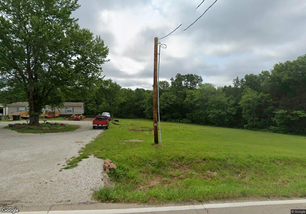
5340 Highway N Robertsville, MO 63072
Estimated Value: $116,000
--
Bed
--
Bath
1,431
Sq Ft
$81/Sq Ft
Est. Value
About This Home
This home is located at 5340 Highway N, Robertsville, MO 63072 and is currently estimated at $116,000, approximately $81 per square foot. 5340 Highway N is a home with nearby schools including Lonedell Elementary School.
Ownership History
Date
Name
Owned For
Owner Type
Purchase Details
Closed on
Apr 6, 2023
Sold by
Wileman Kelly G and Wileman Lisa
Bought by
Franklin Financial Inc
Current Estimated Value
Purchase Details
Closed on
Mar 27, 2018
Sold by
Franklin Financial Corp
Bought by
Wileman Kelly G and Wileman Lisa
Purchase Details
Closed on
Jan 19, 2017
Sold by
Corbin Lora L and John B Loveless Trustee
Bought by
Franklin Financial Corp
Purchase Details
Closed on
Oct 2, 2015
Sold by
Franklin Financial Corp
Bought by
Corbin Lora L
Home Financials for this Owner
Home Financials are based on the most recent Mortgage that was taken out on this home.
Original Mortgage
$10,001
Interest Rate
3.97%
Mortgage Type
New Conventional
Create a Home Valuation Report for This Property
The Home Valuation Report is an in-depth analysis detailing your home's value as well as a comparison with similar homes in the area
Home Values in the Area
Average Home Value in this Area
Purchase History
| Date | Buyer | Sale Price | Title Company |
|---|---|---|---|
| Franklin Financial Inc | -- | None Listed On Document | |
| Wileman Kelly G | -- | -- | |
| Franklin Financial Corp | $13,339 | -- | |
| Corbin Lora L | -- | -- |
Source: Public Records
Mortgage History
| Date | Status | Borrower | Loan Amount |
|---|---|---|---|
| Previous Owner | Corbin Lora L | $10,001 |
Source: Public Records
Tax History Compared to Growth
Tax History
| Year | Tax Paid | Tax Assessment Tax Assessment Total Assessment is a certain percentage of the fair market value that is determined by local assessors to be the total taxable value of land and additions on the property. | Land | Improvement |
|---|---|---|---|---|
| 2025 | $776 | $12,574 | $0 | $0 |
| 2024 | $776 | $13,439 | $0 | $0 |
| 2023 | $783 | $2,911 | $0 | $0 |
| 2022 | $173 | $2,962 | $0 | $0 |
| 2021 | $172 | $2,962 | $0 | $0 |
| 2020 | $210 | $3,559 | $0 | $0 |
| 2019 | $210 | $3,559 | $0 | $0 |
| 2018 | $206 | $3,468 | $0 | $0 |
| 2017 | $4 | $68 | $0 | $0 |
| 2016 | $99 | $1,680 | $0 | $0 |
| 2015 | $99 | $1,680 | $0 | $0 |
| 2014 | $112 | $2,016 | $0 | $0 |
Source: Public Records
Map
Nearby Homes
- 5199 Highway N
- 563 Calvey Heights Ct
- 4373 E Linda Ln
- 2227 State Route N
- 4398 E Linda Ln
- 0 Woodland Valley Dr Unit MAR25002747
- 0 N Hendricks Rd Unit MIS25078611
- 1811 Hendricks Rd
- 1855 Hendricks Rd
- 0 Watts Ridge Dr
- 8716 Highway Hh
- 5563 E Anding Dr
- 420 Nancy Dr
- 525 Cedar View Dr
- 4143 Highway N
- 000 Forest Rd
- 175 Enchanted Oak Ct
- 7816 Rye Creek Rd
- 0 Stone Ridge Rd Unit MAR25025168
- 0 Old Cove Rd
- 5326 Highway N
- 0 Oak Grove Church Unit 90047504
- 5302 Highway N
- 5368 Highway N
- 5005 Oak Grove Church Rd
- 5325 Highway N
- 5380 Highway N
- 5015 Oak Grove Church Rd
- 5300 Highway N
- 5401 Highway N
- 5289 Highway N
- 1529 Wardfield Rd
- 5273 Highway N
- 5273 Highway N
- 6178 Willowford Rd
- 1533 Wardfield Rd
- 1533 Wardfield Rd
- 5262 Highway N
- 6205 Willowford Rd
- 6148 Willowford Rd