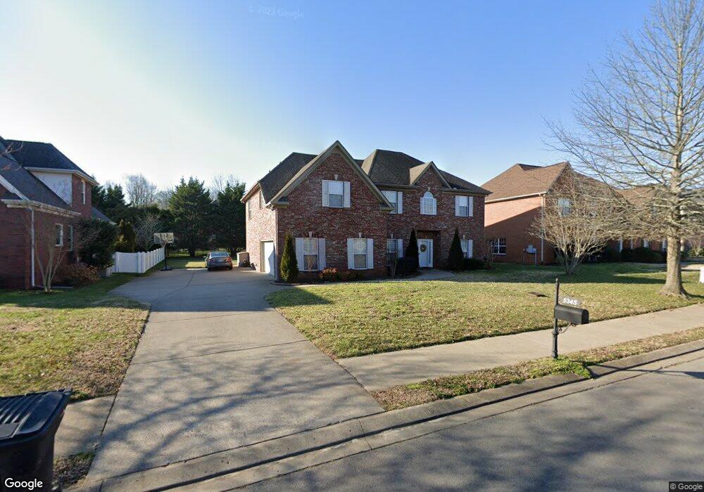
5345 Saint Ives Dr Murfreesboro, TN 37128
Estimated Value: $620,412 - $726,000
--
Bed
3
Baths
3,796
Sq Ft
$181/Sq Ft
Est. Value
About This Home
This home is located at 5345 Saint Ives Dr, Murfreesboro, TN 37128 and is currently estimated at $686,853, approximately $180 per square foot. 5345 Saint Ives Dr is a home located in Rutherford County with nearby schools including Blackman Elementary School, Overall Creek Elementary School, and Blackman Middle School.
Ownership History
Date
Name
Owned For
Owner Type
Purchase Details
Closed on
Jul 30, 2004
Sold by
Signature Homes Inc
Bought by
King and Nicole
Current Estimated Value
Home Financials for this Owner
Home Financials are based on the most recent Mortgage that was taken out on this home.
Original Mortgage
$220,900
Outstanding Balance
$110,920
Interest Rate
6.19%
Estimated Equity
$575,933
Create a Home Valuation Report for This Property
The Home Valuation Report is an in-depth analysis detailing your home's value as well as a comparison with similar homes in the area
Home Values in the Area
Average Home Value in this Area
Purchase History
| Date | Buyer | Sale Price | Title Company |
|---|---|---|---|
| King | $255,900 | -- |
Source: Public Records
Mortgage History
| Date | Status | Borrower | Loan Amount |
|---|---|---|---|
| Open | King | $220,900 |
Source: Public Records
Tax History Compared to Growth
Tax History
| Year | Tax Paid | Tax Assessment Tax Assessment Total Assessment is a certain percentage of the fair market value that is determined by local assessors to be the total taxable value of land and additions on the property. | Land | Improvement |
|---|---|---|---|---|
| 2025 | $3,668 | $129,675 | $15,000 | $114,675 |
| 2024 | $3,668 | $129,675 | $15,000 | $114,675 |
| 2023 | $2,433 | $129,675 | $15,000 | $114,675 |
| 2022 | $2,096 | $129,675 | $15,000 | $114,675 |
| 2021 | $1,978 | $89,125 | $15,000 | $74,125 |
| 2020 | $1,978 | $89,125 | $15,000 | $74,125 |
| 2019 | $1,978 | $89,125 | $15,000 | $74,125 |
| 2018 | $2,717 | $89,125 | $0 | $0 |
| 2017 | $2,953 | $75,975 | $0 | $0 |
| 2016 | $2,953 | $75,975 | $0 | $0 |
| 2015 | $2,953 | $75,975 | $0 | $0 |
| 2014 | $1,889 | $75,975 | $0 | $0 |
| 2013 | -- | $76,025 | $0 | $0 |
Source: Public Records
Map
Nearby Homes
- 2108 Olmstead Ct
- 5227 Starnes Dr
- 1232 Stockwell Dr
- 4814 Saint Ives Dr
- 1235 Timber Creek Dr
- 5408 Middlebury Dr
- 5108 Saint Ives Dr
- 5350 Tony Lama Ln
- 5309 Perlou Ln
- 1526 Dewsbury Dr
- 1320 Hartlepool Dr
- 629 Brinkley Rd
- 4826 Trevino Ct
- 827 Stovers Glen Dr
- 814 Stovers Glen
- 548 Brinkley Rd
- 802 Licinius Ln
- 826 Licinius Ln
- 5313 Eiffel Ct
- 1021 Julian Way
- 5341 Saint Ives Dr
- 5349 Saint Ives Dr
- 5342 Cavendish Dr
- 5346 Cavendish Dr
- 5337 Saint Ives Dr
- 5338 Cavendish Dr
- 5353 Saint Ives Dr
- 5348 Saint Ives Dr
- 5344 Saint Ives Dr
- 5344 St Ives Dr
- 5350 Cavendish Dr
- 5334 Cavendish Dr
- 5352 Saint Ives Dr
- 5340 Saint Ives Dr
- 5333 Saint Ives Dr
- 1305 Saint Ives Ct
- 5330 Cavendish Dr
- 5407 Saint Ives Dr
- 1309 Saint Ives Ct
- 5329 Saint Ives Dr