Estimated Value: $171,000 - $196,759
3
Beds
2
Baths
1,656
Sq Ft
$111/Sq Ft
Est. Value
About This Home
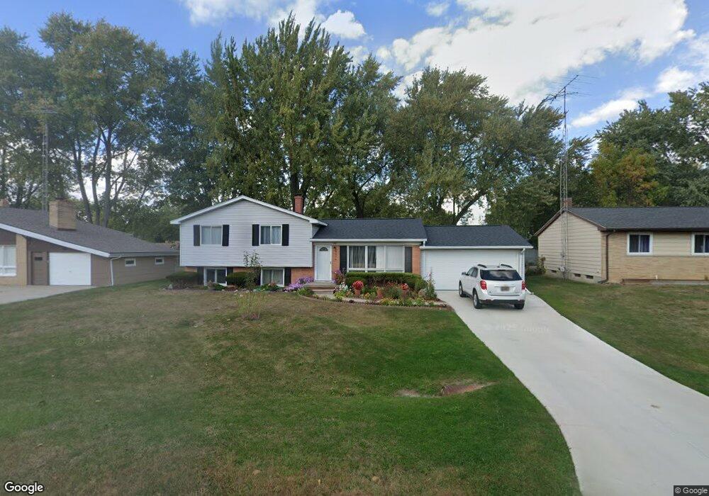
This home is located at 5346 Elmsford Dr, Flint, MI 48532 and is currently estimated at $183,190, approximately $110 per square foot. 5346 Elmsford Dr is a home located in Genesee County with nearby schools including Carman-Ainsworth High School, Genesee STEM Academy, and First Flint Seventh-day Adventist Christian School.
Ownership History
Date
Name
Owned For
Owner Type
Purchase Details
Closed on
Oct 24, 2008
Sold by
Djukic Zeljko and Djukic Mara
Bought by
Courtney Michael
Current Estimated Value
Purchase Details
Closed on
Oct 6, 2000
Sold by
Jackson Susan C S
Bought by
Djukic Zeljko and Djukic Mara
Home Financials for this Owner
Home Financials are based on the most recent Mortgage that was taken out on this home.
Original Mortgage
$99,750
Interest Rate
7.91%
Create a Home Valuation Report for This Property
The Home Valuation Report is an in-depth analysis detailing your home's value as well as a comparison with similar homes in the area
Home Values in the Area
Average Home Value in this Area
Purchase History
| Date | Buyer | Sale Price | Title Company |
|---|---|---|---|
| Courtney Michael | $31,110 | None Available | |
| Djukic Zeljko | $105,000 | Lawyers Title Insurance Corp |
Source: Public Records
Mortgage History
| Date | Status | Borrower | Loan Amount |
|---|---|---|---|
| Previous Owner | Djukic Zeljko | $99,750 |
Source: Public Records
Tax History Compared to Growth
Tax History
| Year | Tax Paid | Tax Assessment Tax Assessment Total Assessment is a certain percentage of the fair market value that is determined by local assessors to be the total taxable value of land and additions on the property. | Land | Improvement |
|---|---|---|---|---|
| 2025 | $2,866 | $84,100 | $0 | $0 |
| 2024 | $1,874 | $85,600 | $0 | $0 |
| 2023 | $1,771 | $74,700 | $0 | $0 |
| 2022 | $1,743 | $62,900 | $0 | $0 |
| 2021 | $854 | $54,100 | $0 | $0 |
| 2020 | $1,600 | $47,800 | $0 | $0 |
| 2019 | $1,579 | $43,300 | $0 | $0 |
| 2018 | $2,379 | $39,300 | $0 | $0 |
| 2017 | $2,268 | $39,300 | $0 | $0 |
| 2016 | $2,304 | $38,100 | $0 | $0 |
| 2015 | $2,136 | $38,100 | $0 | $0 |
| 2014 | $1,528 | $36,500 | $0 | $0 |
| 2012 | -- | $35,700 | $35,700 | $0 |
Source: Public Records
Map
Nearby Homes
- 5323 Elmsford Dr
- 5352 Elmsford Dr
- 5406 Litchfield Dr
- 5503 Westchester Dr
- 5489 Brobeck St
- 0000 Reuben Reuben St
- 1460 S Dye Rd
- 2462 Valley Oaks Cir
- 2356 S Dye Rd
- 6007 Corunna Rd
- 1417 Grassmere Ave
- 1442 Mintola Ave
- 1455 S Linden Rd
- 6098 Corunna Rd
- 5345 Birchtree Ct
- 4480 Corunna Rd
- 4474 Corunna Rd
- 000 Corunna Rd
- 10 Acres T A Mansour Blvd
- 3.9 Acres W Court St
- 5336 Elmsford Dr
- 5330 Elmsford Dr
- 2127 Penway Ct
- 5324 Elmsford Dr
- 2126 Penway Ct
- 5337 Elmsford Dr
- 5329 Elmsford Dr
- 5362 Elmsford Dr
- 5345 Elmsford Dr
- 2121 Penway Ct
- 5317 Elmsford Dr
- 2116 Deerfield Dr
- 5367 Westchester Dr
- 5375 Westchester Dr
- 2108 Deerfield Dr
- 2102 Deerfield Dr
- 5361 Elmsford Dr
- 5383 Westchester Dr
- 5372 Elmsford Dr
- 5349 Westchester Dr