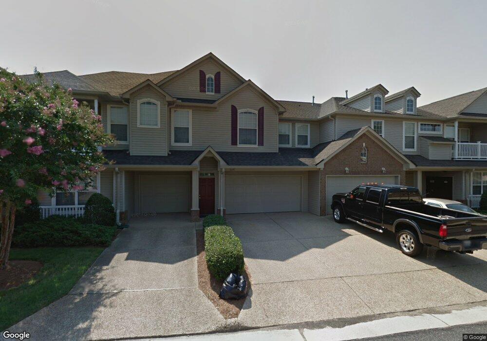
5347 Deford Rd Unit 104 Virginia Beach, VA 23455
Bayside NeighborhoodEstimated Value: $351,000 - $361,000
3
Beds
2
Baths
1,500
Sq Ft
$237/Sq Ft
Est. Value
About This Home
This home is located at 5347 Deford Rd Unit 104, Virginia Beach, VA 23455 and is currently estimated at $355,819, approximately $237 per square foot. 5347 Deford Rd Unit 104 is a home located in Virginia Beach City with nearby schools including Luxford Elementary School, Bayside 6th Grade Campus, and Bayside High School.
Ownership History
Date
Name
Owned For
Owner Type
Purchase Details
Closed on
Oct 25, 2021
Sold by
Gump Lawrence J
Bought by
Reusch Diane M
Current Estimated Value
Purchase Details
Closed on
Jul 11, 2005
Sold by
Anders Elizabeth R
Bought by
Gumop Lawrence J
Home Financials for this Owner
Home Financials are based on the most recent Mortgage that was taken out on this home.
Original Mortgage
$225,000
Interest Rate
5.67%
Mortgage Type
New Conventional
Purchase Details
Closed on
Mar 7, 2000
Sold by
Cypress Point Grp L L C
Bought by
Anders Elizabeth R
Home Financials for this Owner
Home Financials are based on the most recent Mortgage that was taken out on this home.
Original Mortgage
$102,824
Interest Rate
8.24%
Create a Home Valuation Report for This Property
The Home Valuation Report is an in-depth analysis detailing your home's value as well as a comparison with similar homes in the area
Home Values in the Area
Average Home Value in this Area
Purchase History
| Date | Buyer | Sale Price | Title Company |
|---|---|---|---|
| Reusch Diane M | $290,000 | Accommodation | |
| Gumop Lawrence J | $285,000 | -- | |
| Anders Elizabeth R | $128,530 | -- |
Source: Public Records
Mortgage History
| Date | Status | Borrower | Loan Amount |
|---|---|---|---|
| Previous Owner | Gumop Lawrence J | $225,000 | |
| Previous Owner | Anders Elizabeth R | $102,824 |
Source: Public Records
Tax History Compared to Growth
Tax History
| Year | Tax Paid | Tax Assessment Tax Assessment Total Assessment is a certain percentage of the fair market value that is determined by local assessors to be the total taxable value of land and additions on the property. | Land | Improvement |
|---|---|---|---|---|
| 2025 | $3,112 | $336,500 | $140,000 | $196,500 |
| 2024 | $3,112 | $320,800 | $140,000 | $180,800 |
| 2023 | $2,916 | $294,500 | $115,000 | $179,500 |
| 2022 | $2,673 | $270,000 | $99,000 | $171,000 |
| 2021 | $2,230 | $225,300 | $82,000 | $143,300 |
| 2020 | $2,186 | $214,800 | $82,000 | $132,800 |
| 2019 | $2,143 | $203,300 | $82,000 | $121,300 |
| 2018 | $2,038 | $203,300 | $82,000 | $121,300 |
| 2017 | $2,062 | $205,700 | $80,000 | $125,700 |
| 2016 | $2,003 | $202,300 | $80,000 | $122,300 |
| 2015 | $1,988 | $200,800 | $80,000 | $120,800 |
| 2014 | $1,773 | $196,300 | $83,000 | $113,300 |
Source: Public Records
Map
Nearby Homes
- 5329 Warminster Dr Unit 202
- 5344 Charmont Ct
- 5321 Warminster Dr Unit 306
- 5321 Warminster Dr Unit 302
- 5317 Brookstone Ln
- 5324 Charmont Ct Unit 297
- 1027 Backwoods Rd
- 1015 Backwoods Rd
- 1017 Farrcroft Way
- 5229 Ordsall Place
- 932 Southmoor Dr Unit 203
- 5209 Elston Ln
- 1133 Broadholme Place
- 912 Southmoor Dr Unit 303
- 900 Southmoor Dr Unit 103
- 900 Southmoor Dr Unit 105
- 1037 Gas Light Ln
- 864 Gas Light Ln
- 1121 Knights Bridge Ln
- 5113 Elsie Dr
- 5347 Deford Rd
- 5345 Deford Rd
- 5345 Deford Rd Unit 2673
- 5349 Deford Rd Unit 104
- 5351 Deford Rd
- 5343 Deford Rd
- 5353 Deford Rd
- 5342 Deford Rd
- 5249 Deford Rd
- 5344 Deford Rd
- 5334 Deford Rd
- 5325 Deford Rd
- 5332 Deford Rd
- 5251 Deford Rd
- 5346 Deford Rd
- 5321 Deford Rd
- 5330 Deford Rd
- 5348 Deford Rd
- 5243 Deford Rd
- 5350 Deford Rd