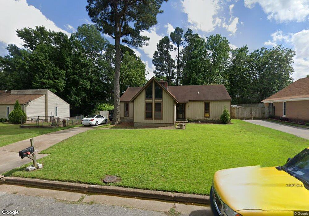
5347 Gloucester Ave Memphis, TN 38135
Estimated Value: $170,000 - $197,000
3
Beds
2
Baths
1,464
Sq Ft
$125/Sq Ft
Est. Value
About This Home
This home is located at 5347 Gloucester Ave, Memphis, TN 38135 and is currently estimated at $183,604, approximately $125 per square foot. 5347 Gloucester Ave is a home located in Shelby County with nearby schools including Brownsville Rd Elementary School, Craigmont Middle School, and Craigmont High School.
Ownership History
Date
Name
Owned For
Owner Type
Purchase Details
Closed on
May 2, 2006
Sold by
Jones William A and Jones Maile J
Bought by
Curry Nicole
Current Estimated Value
Home Financials for this Owner
Home Financials are based on the most recent Mortgage that was taken out on this home.
Original Mortgage
$95,000
Outstanding Balance
$54,196
Interest Rate
6.33%
Mortgage Type
Fannie Mae Freddie Mac
Estimated Equity
$129,408
Purchase Details
Closed on
May 20, 1997
Sold by
Jones William A
Bought by
Jones William A and Jones Maile J
Create a Home Valuation Report for This Property
The Home Valuation Report is an in-depth analysis detailing your home's value as well as a comparison with similar homes in the area
Home Values in the Area
Average Home Value in this Area
Purchase History
| Date | Buyer | Sale Price | Title Company |
|---|---|---|---|
| Curry Nicole | $100,000 | Netco | |
| Jones William A | -- | -- | |
| Jones William A | -- | -- |
Source: Public Records
Mortgage History
| Date | Status | Borrower | Loan Amount |
|---|---|---|---|
| Open | Curry Nicole | $95,000 |
Source: Public Records
Tax History
| Year | Tax Paid | Tax Assessment Tax Assessment Total Assessment is a certain percentage of the fair market value that is determined by local assessors to be the total taxable value of land and additions on the property. | Land | Improvement |
|---|---|---|---|---|
| 2025 | $1,058 | $40,200 | $5,000 | $35,200 |
| 2024 | $1,058 | $31,200 | $3,875 | $27,325 |
| 2023 | $1,901 | $31,200 | $3,875 | $27,325 |
| 2022 | $1,901 | $31,200 | $3,875 | $27,325 |
| 2021 | $1,923 | $31,200 | $3,875 | $27,325 |
| 2020 | $1,451 | $20,025 | $3,875 | $16,150 |
| 2019 | $1,451 | $20,025 | $3,875 | $16,150 |
| 2018 | $1,451 | $20,025 | $3,875 | $16,150 |
| 2017 | $823 | $20,025 | $3,875 | $16,150 |
| 2016 | $827 | $18,925 | $0 | $0 |
| 2014 | $827 | $18,925 | $0 | $0 |
Source: Public Records
Map
Nearby Homes
- 5305 Gloucester Ave
- 3584 Wythe Rd
- 3634 Sunnyside St
- 5315 Yale Rd
- 3496 Lynchburg St
- 5445 Pine Oak Ln
- 3442 Wythe Rd
- 5209 Yale Rd
- 5508 Sweetwater Cove
- 3507 Chowning Rd
- 3404 Wetherburns Cir Unit 1
- 0 New Brownsville Rd
- 3388 Lord Dunmore Cove
- 5321 Maiden Grass Dr
- 3589 Covington Pike Unit 424
- 3589 Covington Pike Unit 201
- 3589 Covington Pike Unit 419
- 3589 Covington Pike Unit 513
- 3589 Covington Pike Unit 222
- 3589 Covington Pike Unit 407
- 5339 Gloucester Ave
- 5355 Gloucester Ave
- 5350 Bruton Ave
- 5344 Bruton Ave
- 5333 Gloucester Ave
- 5363 Gloucester Ave
- 5334 Bruton Ave
- 5358 Bruton Ave
- 5348 Gloucester Ave
- 5342 Gloucester Ave
- 5356 Gloucester Ave
- 5325 Gloucester Ave
- 5334 Gloucester Ave
- 5328 Bruton Ave
- 5364 Bruton Ave
- 5369 Gloucester Ave
- 5364 Gloucester Ave
- 5328 Gloucester Ave
- 5322 Bruton Ave
- 5319 Gloucester Ave
Your Personal Tour Guide
Ask me questions while you tour the home.