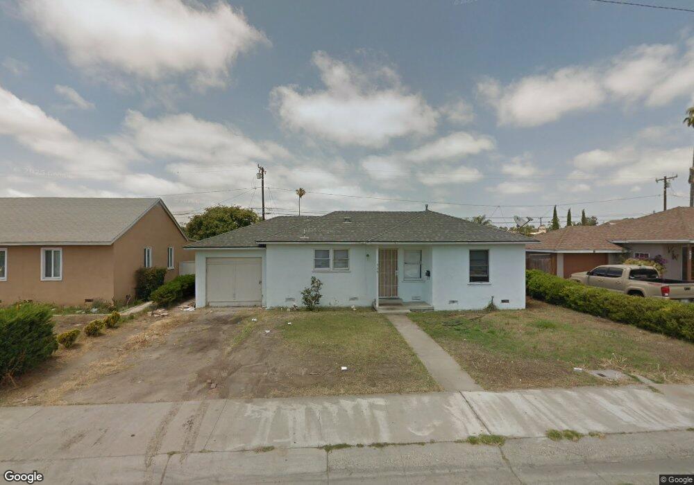
535 E Laurel St Oxnard, CA 93033
Cal-Gisler NeighborhoodEstimated Value: $483,000 - $658,000
2
Beds
1
Bath
837
Sq Ft
$697/Sq Ft
Est. Value
About This Home
This home is located at 535 E Laurel St, Oxnard, CA 93033 and is currently estimated at $583,078, approximately $696 per square foot. 535 E Laurel St is a home located in Ventura County with nearby schools including Harrington Elementary School, R.J. Frank Academy of Marine Science & Engineering, and Channel Islands High School.
Ownership History
Date
Name
Owned For
Owner Type
Purchase Details
Closed on
Sep 18, 2023
Sold by
Walker David Lee and Walker Dianne E
Bought by
David And Dianne Walker Family Trust and Walker
Current Estimated Value
Create a Home Valuation Report for This Property
The Home Valuation Report is an in-depth analysis detailing your home's value as well as a comparison with similar homes in the area
Home Values in the Area
Average Home Value in this Area
Purchase History
| Date | Buyer | Sale Price | Title Company |
|---|---|---|---|
| David And Dianne Walker Family Trust | -- | None Listed On Document |
Source: Public Records
Tax History
| Year | Tax Paid | Tax Assessment Tax Assessment Total Assessment is a certain percentage of the fair market value that is determined by local assessors to be the total taxable value of land and additions on the property. | Land | Improvement |
|---|---|---|---|---|
| 2025 | $626 | $47,733 | $18,353 | $29,380 |
| 2024 | $626 | $46,798 | $17,994 | $28,804 |
| 2023 | $604 | $45,881 | $17,641 | $28,240 |
| 2022 | $588 | $44,982 | $17,295 | $27,687 |
| 2021 | $583 | $44,100 | $16,955 | $27,145 |
| 2020 | $593 | $43,650 | $16,782 | $26,868 |
| 2019 | $577 | $42,795 | $16,453 | $26,342 |
| 2018 | $570 | $41,957 | $16,131 | $25,826 |
| 2017 | $543 | $41,135 | $15,815 | $25,320 |
| 2016 | $525 | $40,329 | $15,505 | $24,824 |
| 2015 | $530 | $39,725 | $15,273 | $24,452 |
| 2014 | $525 | $38,949 | $14,975 | $23,974 |
Source: Public Records
Map
Nearby Homes
- 3130 Paula St
- 3151 Fournier St
- 225 W Iris St
- 3631 La Costa Place
- 860 Morro Way
- 2024 S J St
- 360 Ibsen Place Unit 129
- 1928 San Benito St
- 3638 S B St
- 1239 S C St
- 140 Gaviota Place Unit 157
- 1127 S C St
- 4160 Petit Dr Unit 39
- 2151 E Wooley Rd
- 320 Columbia Place Unit 46
- 280 Columbia Place Unit 48
- 4029 S B St
- 4200 S A St
- 3820 S J St
- 775 Thayer Ln
- 525 E Laurel St
- 545 E Laurel St
- 555 E Laurel St
- 515 E Laurel St
- 534 E Kamala St
- 524 E Kamala St
- 544 E Kamala St
- 534 E Laurel St
- 514 E Kamala St
- 554 E Kamala St
- 544 E Laurel St
- 524 E Laurel St
- 565 E Laurel St
- 505 E Laurel St
- 554 E Laurel St
- 514 E Laurel St
- 564 E Kamala St
- 504 E Kamala St
- 575 E Laurel St
- 564 E Laurel St
Your Personal Tour Guide
Ask me questions while you tour the home.