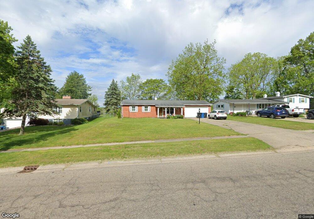
535 Garrison Rd Battle Creek, MI 49017
Northeast Battle Creek NeighborhoodEstimated Value: $179,000 - $247,000
3
Beds
2
Baths
1,292
Sq Ft
$158/Sq Ft
Est. Value
About This Home
This home is located at 535 Garrison Rd, Battle Creek, MI 49017 and is currently estimated at $203,638, approximately $157 per square foot. 535 Garrison Rd is a home located in Calhoun County with nearby schools including Verona Elementary School, Northwestern Middle School, and Battle Creek Central High School.
Ownership History
Date
Name
Owned For
Owner Type
Purchase Details
Closed on
Dec 14, 2006
Sold by
Carr Ruth A
Bought by
Yates Arthur S and Tulley Tresa M
Current Estimated Value
Home Financials for this Owner
Home Financials are based on the most recent Mortgage that was taken out on this home.
Original Mortgage
$84,000
Outstanding Balance
$50,027
Interest Rate
6.24%
Mortgage Type
Purchase Money Mortgage
Estimated Equity
$153,611
Create a Home Valuation Report for This Property
The Home Valuation Report is an in-depth analysis detailing your home's value as well as a comparison with similar homes in the area
Home Values in the Area
Average Home Value in this Area
Purchase History
| Date | Buyer | Sale Price | Title Company |
|---|---|---|---|
| Yates Arthur S | $89,000 | None Available |
Source: Public Records
Mortgage History
| Date | Status | Borrower | Loan Amount |
|---|---|---|---|
| Open | Yates Arthur S | $84,000 |
Source: Public Records
Tax History Compared to Growth
Tax History
| Year | Tax Paid | Tax Assessment Tax Assessment Total Assessment is a certain percentage of the fair market value that is determined by local assessors to be the total taxable value of land and additions on the property. | Land | Improvement |
|---|---|---|---|---|
| 2025 | -- | $74,600 | $0 | $0 |
| 2024 | $1,727 | $71,894 | $0 | $0 |
| 2023 | $1,974 | $59,814 | $0 | $0 |
| 2022 | $1,559 | $57,050 | $0 | $0 |
| 2021 | $1,862 | $54,219 | $0 | $0 |
| 2020 | $1,751 | $52,016 | $0 | $0 |
| 2019 | $1,744 | $47,914 | $0 | $0 |
| 2018 | $1,744 | $44,729 | $4,753 | $39,976 |
| 2017 | $1,691 | $44,177 | $0 | $0 |
| 2016 | $1,688 | $43,258 | $0 | $0 |
| 2015 | $1,653 | $39,102 | $4,749 | $34,353 |
| 2014 | $1,653 | $35,879 | $4,749 | $31,130 |
Source: Public Records
Map
Nearby Homes
- 561 Garrison Rd
- 52 Thorncroft Ave
- 274 Central St
- 0 Hopkins St
- 276 Mckinley Ave N
- 731 Roosevelt Ave E
- 110 Harriet Ln
- 208 Glendale Ave
- 21 Bradley St
- V/L Parkview Ave
- 31 Oxford St
- 17 Gordon Blvd
- 0 Capital Ave NE
- 261 Emmett St E
- 202 Viking Dr
- 955 Capital Ave NE
- 195 Union St N
- 292 Hunter St
- 11 Coolidge Ave W
- 174 East Ave N
- 531 Garrison Rd
- 541 Garrison Rd
- 525 Garrison Rd
- 0 Heather Dr Unit 8055849
- 11 Heather Ridge Rd
- 521 Garrison Rd
- 524 Garrison Rd
- 595 Garrison Ave
- 15 Heather Ridge Rd
- 517 Garrison Rd
- 16 Heather Ridge Rd
- 518 Garrison Rd
- 19 Heather Ridge Rd
- 20 Heather Ridge Rd
- 15 Mockingbird Ct
- 511 Garrison Rd
- 23 Heather Ridge Rd
- 19 Mockingbird Ct
- 507 Garrison Rd
- 507 Garrison Ave