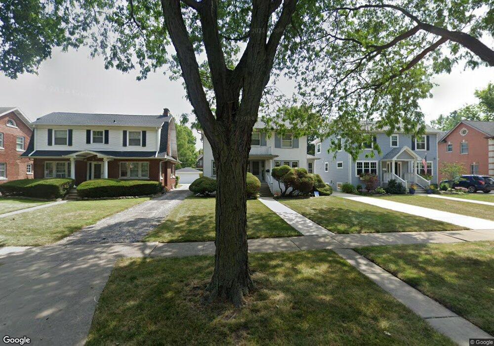
535 Lathrop Ave River Forest, IL 60305
Estimated Value: $533,000 - $841,926
4
Beds
3
Baths
1,964
Sq Ft
$370/Sq Ft
Est. Value
About This Home
This home is located at 535 Lathrop Ave, River Forest, IL 60305 and is currently estimated at $726,232, approximately $369 per square foot. 535 Lathrop Ave is a home located in Cook County with nearby schools including Roosevelt Middle School, Lincoln Elementary School, and Oak Park and River Forest High School.
Ownership History
Date
Name
Owned For
Owner Type
Purchase Details
Closed on
Jun 29, 2023
Sold by
Watts Mary J
Bought by
Jenks & Watts Family Revocable Trust and Jenks
Current Estimated Value
Purchase Details
Closed on
Mar 10, 2016
Sold by
Chicago Title Land Trust Co
Bought by
Panasa Alfrdo and Pamasa Meliza C
Purchase Details
Closed on
Apr 10, 2000
Sold by
Watts James S
Bought by
Watts Mary J
Create a Home Valuation Report for This Property
The Home Valuation Report is an in-depth analysis detailing your home's value as well as a comparison with similar homes in the area
Home Values in the Area
Average Home Value in this Area
Purchase History
| Date | Buyer | Sale Price | Title Company |
|---|---|---|---|
| Jenks & Watts Family Revocable Trust | -- | None Listed On Document | |
| Panasa Alfrdo | $310,000 | Chicago Title Land Trust Co | |
| Watts Mary J | -- | -- |
Source: Public Records
Tax History Compared to Growth
Tax History
| Year | Tax Paid | Tax Assessment Tax Assessment Total Assessment is a certain percentage of the fair market value that is determined by local assessors to be the total taxable value of land and additions on the property. | Land | Improvement |
|---|---|---|---|---|
| 2024 | $16,887 | $65,000 | $11,960 | $53,040 |
| 2023 | $16,127 | $65,000 | $11,960 | $53,040 |
| 2022 | $16,127 | $53,362 | $10,350 | $43,012 |
| 2021 | $15,559 | $53,362 | $10,350 | $43,012 |
| 2020 | $15,941 | $55,562 | $10,350 | $45,212 |
| 2019 | $14,703 | $50,792 | $9,430 | $41,362 |
| 2018 | $13,917 | $50,792 | $9,430 | $41,362 |
| 2017 | $15,994 | $57,995 | $9,430 | $48,565 |
| 2016 | $13,015 | $42,956 | $7,820 | $35,136 |
| 2015 | $12,746 | $42,956 | $7,820 | $35,136 |
| 2014 | $11,691 | $42,956 | $7,820 | $35,136 |
| 2013 | $12,243 | $46,020 | $7,820 | $38,200 |
Source: Public Records
Map
Nearby Homes
- 547 Jackson Ave
- 407 Ashland Ave Unit 3G
- 407 Ashland Ave Unit 5F
- 410 Ashland Ave Unit 1A
- 414 Franklin Ave Unit 3A
- 435 William St Unit 205
- 424 Park Ave Unit 206
- 414 Clinton Place Unit 302
- 727 Clinton Place
- 838 William St
- 7415 Dixon St
- 7911 Oak Ave
- 734 Bonnie Brae Place
- 213 Ashland Ave
- 7241 Franklin St Unit B
- 922 Jackson Ave
- 7212 Oak Ave Unit 3NE
- 7240 Franklin St Unit 2A
- 7210 Oak Ave Unit 3SW
- 7200 Oak Ave Unit 3NW
- 531 Lathrop Ave
- 539 Lathrop Ave
- 543 Lathrop Ave
- 527 Lathrop Ave
- 523 Lathrop Ave
- 534 Jackson Ave
- 530 Jackson Ave
- 519 Lathrop Ave
- 542 Jackson Ave
- 522 Jackson Ave
- 530 Lathrop Ave
- 538 Lathrop Ave
- 515 Lathrop Ave
- 542 Lathrop Ave
- 518 Jackson Ave
- 546 Lathrop Ave
- 511 Lathrop Ave
- 550 Lathrop Ave
- 510 Jackson Ave
- 554 Lathrop Ave