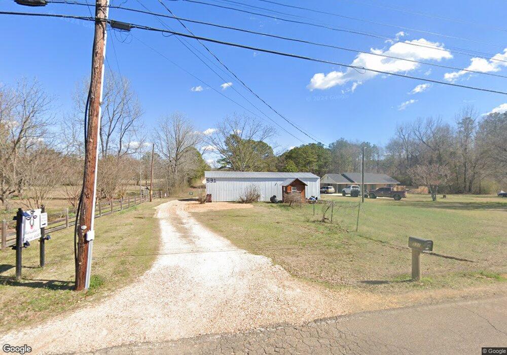
535 Mac Davis Rd Columbus, MS 39702
Estimated Value: $201,000 - $267,597
Studio
--
Bath
1,348
Sq Ft
$168/Sq Ft
Est. Value
About This Home
This home is located at 535 Mac Davis Rd, Columbus, MS 39702 and is currently estimated at $226,149, approximately $167 per square foot. 535 Mac Davis Rd is a home.
Ownership History
Date
Name
Owned For
Owner Type
Purchase Details
Closed on
Jun 19, 2017
Sold by
Baswell James D
Bought by
Baswell Ryan J and Baswell Whitney
Current Estimated Value
Home Financials for this Owner
Home Financials are based on the most recent Mortgage that was taken out on this home.
Original Mortgage
$131,313
Outstanding Balance
$108,963
Interest Rate
4.02%
Mortgage Type
New Conventional
Estimated Equity
$117,186
Purchase Details
Closed on
Dec 29, 2016
Sold by
Baswell Donna
Bought by
Baswell James D
Purchase Details
Closed on
Oct 23, 2015
Sold by
Baswell James
Bought by
Baswell Ryan
Create a Home Valuation Report for This Property
The Home Valuation Report is an in-depth analysis detailing your home's value as well as a comparison with similar homes in the area
Purchase History
| Date | Buyer | Sale Price | Title Company |
|---|---|---|---|
| Baswell Ryan J | -- | None Available | |
| Baswell Ryan J | -- | None Available | |
| Baswell James D | -- | None Available | |
| Baswell Ryan | -- | None Available |
Source: Public Records
Mortgage History
| Date | Status | Borrower | Loan Amount |
|---|---|---|---|
| Open | Baswell Ryan J | $131,313 | |
| Closed | Baswell Ryan J | $131,313 |
Source: Public Records
Tax History
| Year | Tax Paid | Tax Assessment Tax Assessment Total Assessment is a certain percentage of the fair market value that is determined by local assessors to be the total taxable value of land and additions on the property. | Land | Improvement |
|---|---|---|---|---|
| 2025 | $278 | $10,346 | $0 | $0 |
| 2024 | $282 | $10,404 | $0 | $0 |
| 2023 | $175 | $9,310 | $0 | $0 |
| 2022 | $177 | $9,334 | $0 | $0 |
| 2021 | $173 | $9,358 | $0 | $0 |
| 2020 | $166 | $9,384 | $0 | $0 |
| 2019 | $0 | $9,057 | $0 | $0 |
| 2018 | $0 | $1,841 | $0 | $0 |
| 2017 | $32 | $3,256 | $0 | $0 |
| 2016 | $32 | $7,870 | $0 | $0 |
| 2015 | $309 | $6,587 | $0 | $0 |
| 2014 | $305 | $6,539 | $0 | $0 |
Source: Public Records
Map
Nearby Homes
- 83 Bowling Green Cir
- 127 E Cherry St
- 2746 Phillips Hill Rd
- 291 Muddy Ln
- Lot 3 Lost Lake Hills Rd
- 0 Lost Lake Hills Rd
- 72 N Colby Ln
- 72 Colby Ln
- 0 Hwy Us-82
- 24 Lacy Rd
- 2362 Tabernacle Rd
- 220 Woodridge Place
- 16 Jenny Ln
- 248 Lakeover Dr W
- 159 Lenox Ln
- 142 Lenox Ln
- 0 Fiesta Dr
- 29 Lenox Ln
- 262 Center Rd
- 406 Pleasant Hill Rd
- 627 Mac Davis Rd
- 561 Mac Davis Rd
- 731 Mac Davis Rd
- 533 Mac Davis Rd
- 652 Mac Davis Rd
- 620 Mac Davis Rd
- 513 Mac Davis Rd
- 576 Mac Davis Rd
- 809 Mac Davis Rd
- 497 Mac Davis Rd
- 530 Mac Davis Rd
- 55 Nature Trail
- 58 Nature Trail
- 841 Mac Davis Rd
- 504 Mac Davis Rd
- 728 Mac Davis Rd
- 93 Nature Trail
- 1625 State Line Rd
- 92 Nature Trail
- 129 Nature Trail
Your Personal Tour Guide
Ask me questions while you tour the home.