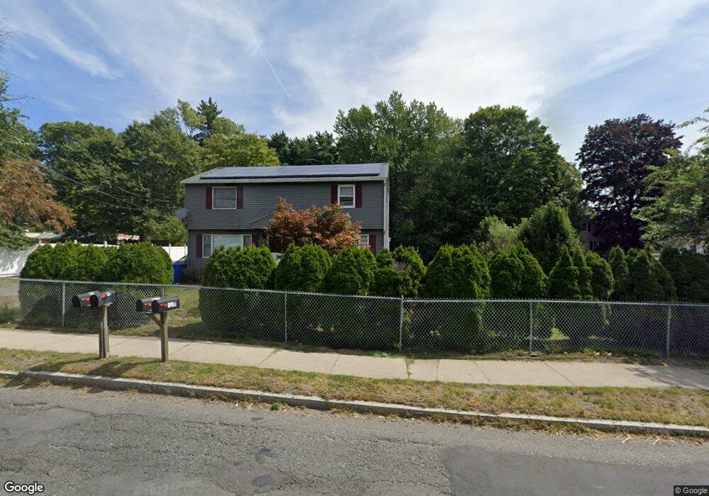
535 Parker St Unit 537 Springfield, MA 01129
Boston Road NeighborhoodEstimated Value: $313,000 - $442,000
4
Beds
4
Baths
1,728
Sq Ft
$217/Sq Ft
Est. Value
About This Home
This home is located at 535 Parker St Unit 537, Springfield, MA 01129 and is currently estimated at $375,029, approximately $217 per square foot. 535 Parker St Unit 537 is a home located in Hampden County with nearby schools including Warner, M Marcus Kiley Middle, and Springfield Central High School.
Ownership History
Date
Name
Owned For
Owner Type
Purchase Details
Closed on
Mar 22, 2005
Sold by
Iqbal Mazhar and Kausar Tahmin
Bought by
Iqbal Mazhar and Kausar Tahmina
Current Estimated Value
Purchase Details
Closed on
Dec 7, 2004
Sold by
Iqbal Mazhar
Bought by
Iqbal Mazhar and Kausar Tahmin
Purchase Details
Closed on
Aug 27, 2004
Sold by
Reis Antonio D and Reis Eulalta J
Bought by
Iqbal Mazhar
Home Financials for this Owner
Home Financials are based on the most recent Mortgage that was taken out on this home.
Original Mortgage
$154,183
Interest Rate
6.02%
Mortgage Type
Purchase Money Mortgage
Purchase Details
Closed on
Jan 16, 1987
Sold by
Hanson Dale R
Bought by
Reis Antonio D
Home Financials for this Owner
Home Financials are based on the most recent Mortgage that was taken out on this home.
Original Mortgage
$90,000
Interest Rate
9.26%
Mortgage Type
Purchase Money Mortgage
Create a Home Valuation Report for This Property
The Home Valuation Report is an in-depth analysis detailing your home's value as well as a comparison with similar homes in the area
Home Values in the Area
Average Home Value in this Area
Purchase History
| Date | Buyer | Sale Price | Title Company |
|---|---|---|---|
| Iqbal Mazhar | -- | -- | |
| Iqbal Mazhar | -- | -- | |
| Iqbal Mazhar | $159,900 | -- | |
| Reis Antonio D | $116,000 | -- |
Source: Public Records
Mortgage History
| Date | Status | Borrower | Loan Amount |
|---|---|---|---|
| Open | Reis Antonio D | $124,000 | |
| Previous Owner | Iqbal Mazhar | $154,183 | |
| Previous Owner | Reis Antonio D | $90,000 |
Source: Public Records
Tax History Compared to Growth
Tax History
| Year | Tax Paid | Tax Assessment Tax Assessment Total Assessment is a certain percentage of the fair market value that is determined by local assessors to be the total taxable value of land and additions on the property. | Land | Improvement |
|---|---|---|---|---|
| 2025 | $4,150 | $264,700 | $57,700 | $207,000 |
| 2024 | $4,187 | $260,700 | $57,700 | $203,000 |
| 2023 | $3,688 | $216,300 | $54,900 | $161,400 |
| 2022 | $3,621 | $192,400 | $54,900 | $137,500 |
| 2021 | $3,368 | $178,200 | $49,900 | $128,300 |
| 2020 | $3,262 | $167,000 | $49,900 | $117,100 |
| 2019 | $2,873 | $146,000 | $49,900 | $96,100 |
| 2018 | $2,883 | $146,500 | $49,900 | $96,600 |
| 2017 | $2,977 | $151,400 | $44,900 | $106,500 |
| 2016 | $2,701 | $137,400 | $44,900 | $92,500 |
| 2015 | $2,659 | $135,200 | $44,900 | $90,300 |
Source: Public Records
Map
Nearby Homes
- 30 Jerilis Dr
- 665 Parker St
- 193 Marmon St
- 161 Fernbank Rd
- 25 Pioneer Way
- 61 Glenmore St
- 32 Better Way
- 34 Temby St
- 20 Wrenwood St
- 44 Rest Way
- 89 Pine Grove St
- 97-99 Pine Grove St
- 501 Oak St
- 98 Pine Grove St
- 74 Blanche St
- 70 Shumway St Unit 29
- 70 Shumway St Unit A1
- 0 Michon St
- 70 Nagle St
- 252 Parker St