535 Route 6 and 209 Milford, PA 18337
Estimated Value: $3,023,000
3
Beds
1
Bath
188,172
Sq Ft
$16/Sq Ft
Est. Value
About This Home
This home is located at 535 Route 6 and 209, Milford, PA 18337 and is currently priced at $3,023,000, approximately $16 per square foot. 535 Route 6 and 209 is a home with nearby schools including Delaware Valley High School.
Ownership History
Date
Name
Owned For
Owner Type
Purchase Details
Closed on
Apr 18, 2017
Sold by
Milford Commercial Property Llc
Bought by
Dot Red Llc
Current Estimated Value
Home Financials for this Owner
Home Financials are based on the most recent Mortgage that was taken out on this home.
Original Mortgage
$3,250,000
Outstanding Balance
$2,704,489
Interest Rate
4.21%
Mortgage Type
Commercial
Purchase Details
Closed on
Oct 28, 2011
Sold by
Milford Commercial Property Llc
Bought by
Milford Commercial Property Llc
Home Financials for this Owner
Home Financials are based on the most recent Mortgage that was taken out on this home.
Original Mortgage
$2,040,000
Interest Rate
4.01%
Mortgage Type
Purchase Money Mortgage
Create a Home Valuation Report for This Property
The Home Valuation Report is an in-depth analysis detailing your home's value as well as a comparison with similar homes in the area
Home Values in the Area
Average Home Value in this Area
Purchase History
| Date | Buyer | Sale Price | Title Company |
|---|---|---|---|
| Dot Red Llc | $6,800,000 | None Available | |
| Milford Commercial Property Llc | -- | None Available |
Source: Public Records
Mortgage History
| Date | Status | Borrower | Loan Amount |
|---|---|---|---|
| Open | Dot Red Llc | $3,250,000 | |
| Previous Owner | Milford Commercial Property Llc | $2,040,000 |
Source: Public Records
Tax History Compared to Growth
Tax History
| Year | Tax Paid | Tax Assessment Tax Assessment Total Assessment is a certain percentage of the fair market value that is determined by local assessors to be the total taxable value of land and additions on the property. | Land | Improvement |
|---|---|---|---|---|
| 2025 | $123,888 | $790,000 | $421,210 | $368,790 |
| 2024 | $123,888 | $790,000 | $421,210 | $368,790 |
| 2023 | $120,530 | $790,000 | $421,210 | $368,790 |
| 2022 | $101,754 | $684,800 | $316,010 | $368,790 |
| 2021 | $100,727 | $684,800 | $316,010 | $368,790 |
| 2020 | $99,358 | $684,800 | $316,010 | $368,790 |
| 2019 | $96,180 | $684,800 | $316,010 | $368,790 |
| 2018 | $96,180 | $684,800 | $316,010 | $368,790 |
| 2017 | $93,633 | $684,800 | $316,010 | $368,790 |
| 2016 | $0 | $684,800 | $316,010 | $368,790 |
| 2015 | -- | $684,800 | $316,010 | $368,790 |
| 2014 | -- | $684,800 | $316,010 | $368,790 |
Source: Public Records
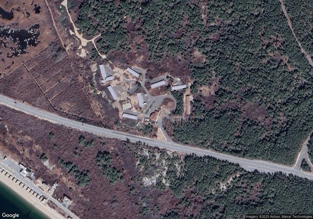
Map
Nearby Homes
- 110 Wheatfield Ct
- 4 Highland Ave
- LOT 3 Highland Ave
- 123 Highland Ave
- 173 Skyline Dr
- 0 Route 6 & 209 Unit PWBPW252055
- Lot 54 Skyline Dr
- Lot 59 Skyline Dr
- 00 Minisink Ct
- Lot 55 Summit Ct
- 134 Bennett Ave
- 105 Bennett Ave
- Lot 469 W Sarah St
- 619 5th St
- 110 Shadow Ln
- 212 W John St
- 218 Vandermark Dr
- 509 Broad St
- 208 E High St
- 112 W High St
- Lots67&68 Milford Highlands Subdivision
- 0 Rt 6 & 209 Unit PWB082077
- 0 Rt 6 & 209 Unit PWB14158
- 0 Rt 6 & 209 Unit 20-2188
- Lot 32 Milford Highlands Subdivision
- 109 Wheatfield Ct
- Lots 54&55 Milford Highlands Subdivision
- 108 Wheatfield Dr
- 112 Wheatfield Ct
- 111 Wheatfield Dr Unit Ste 3
- 111 Wheatfield Dr Unit 1
- 107 Wheatfield Dr
- 107 Wheatfield Ct
- 114 Milford Hall Ln
- 106 Wheatfield Ct
- 105 Wheatfield Ct
- 0 Highland Ave
- Lot 73 Highland Ave
- Lot 62 Milford Highlands Subdivision
- Lot 39 Milford Highlands Subdivision