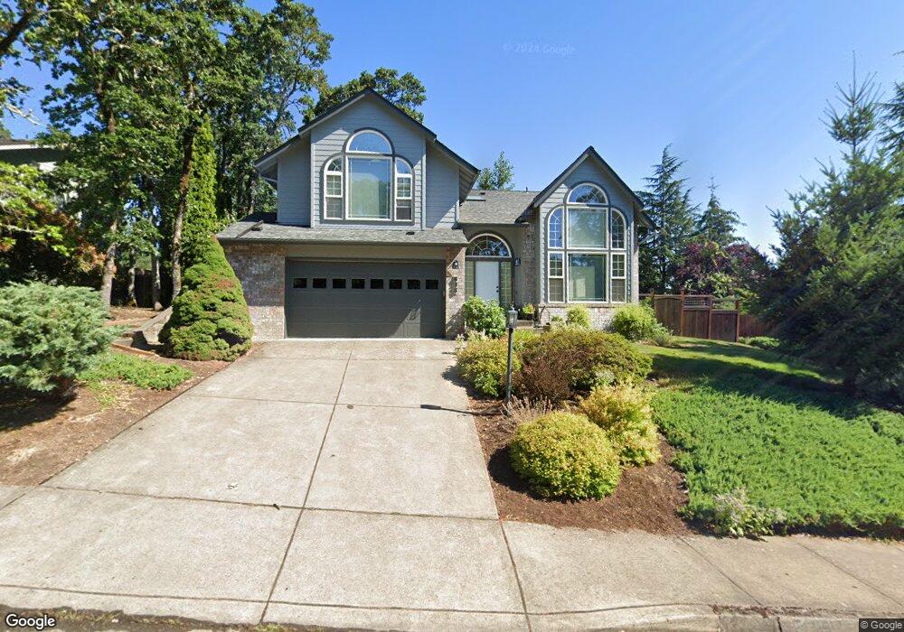
535 W 40th Ave Eugene, OR 97405
Crest Drive NeighborhoodEstimated Value: $701,865 - $768,000
3
Beds
3
Baths
2,551
Sq Ft
$289/Sq Ft
Est. Value
About This Home
This home is located at 535 W 40th Ave, Eugene, OR 97405 and is currently estimated at $737,966, approximately $289 per square foot. 535 W 40th Ave is a home located in Lane County with nearby schools including Edgewood Community Elementary School, Spencer Butte Middle School, and South Eugene High School.
Ownership History
Date
Name
Owned For
Owner Type
Purchase Details
Closed on
May 2, 2014
Sold by
King Raymond D and King April C
Bought by
Zeigier Stuart G and Zeigler Stacey G
Current Estimated Value
Home Financials for this Owner
Home Financials are based on the most recent Mortgage that was taken out on this home.
Original Mortgage
$275,000
Outstanding Balance
$208,519
Interest Rate
4.35%
Mortgage Type
New Conventional
Estimated Equity
$529,447
Create a Home Valuation Report for This Property
The Home Valuation Report is an in-depth analysis detailing your home's value as well as a comparison with similar homes in the area
Home Values in the Area
Average Home Value in this Area
Purchase History
| Date | Buyer | Sale Price | Title Company |
|---|---|---|---|
| Zeigier Stuart G | $360,900 | Fidelity Natl Title Co Of Or |
Source: Public Records
Mortgage History
| Date | Status | Borrower | Loan Amount |
|---|---|---|---|
| Open | Zeigier Stuart G | $275,000 |
Source: Public Records
Tax History
| Year | Tax Paid | Tax Assessment Tax Assessment Total Assessment is a certain percentage of the fair market value that is determined by local assessors to be the total taxable value of land and additions on the property. | Land | Improvement |
|---|---|---|---|---|
| 2025 | $9,661 | $495,848 | -- | -- |
| 2024 | $9,541 | $481,406 | -- | -- |
| 2023 | $9,541 | $467,385 | $0 | $0 |
| 2022 | $8,842 | $453,772 | $0 | $0 |
| 2021 | $8,040 | $440,556 | $0 | $0 |
| 2020 | $7,850 | $427,725 | $0 | $0 |
| 2019 | $7,631 | $415,267 | $0 | $0 |
| 2018 | $7,112 | $391,429 | $0 | $0 |
| 2017 | $6,660 | $391,429 | $0 | $0 |
| 2016 | $6,416 | $380,028 | $0 | $0 |
| 2015 | $6,228 | $368,959 | $0 | $0 |
| 2014 | $6,143 | $358,213 | $0 | $0 |
Source: Public Records
Map
Nearby Homes
- 806 Sundance St
- 3854 Monroe St
- 320 Dellwood Dr
- 453 Dellwood Dr
- 357 W 37th Ave
- 3593 Lawrence St
- 0 Pine View Ct Unit 758820410
- 4040 Southpointe Dr
- 605 Fulvue Dr
- 75 W 35th Place
- 0 Hidden Meadows
- 17 Westbrook Way
- 21 Westbrook Way
- 278 Rockridge Ct
- 170 E 40th Ave
- 36 Westbrook Way
- 653 Brookside Dr
- 275 E 39th Ave
- 1 Storey Blvd
- 2 Storey Blvd
- 555 W 40th Ave
- 525 W 40th Ave
- 529 W 40th Ave
- 530 W 40th Ave
- 561 W 40th Ave
- 550 W 40th Ave
- 520 W 40th Ave
- 3962 Monroe St
- 515 W 40th Ave
- 3966 Monroe St
- 3968 Brae Burn Dr
- 560 W 40th Ave
- 565 W 40th Ave
- 4002 Brae Burn Dr
- 4032 Normandy Way
- 4024 Normandy Way
- 3970 Monroe St
- 3946 Brae Burn Dr
- 3954 Monroe St
- 575 W 40th Ave
Your Personal Tour Guide
Ask me questions while you tour the home.