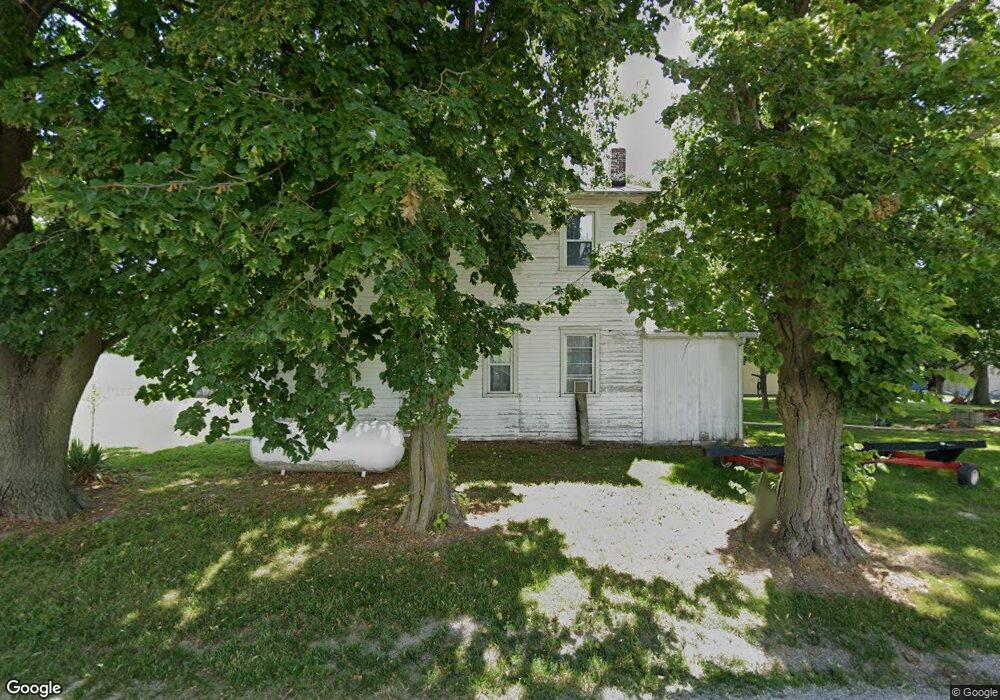
5350 Blank Rd Smithton, IL 62285
Estimated Value: $160,000 - $224,000
--
Bed
--
Bath
960
Sq Ft
$199/Sq Ft
Est. Value
About This Home
This home is located at 5350 Blank Rd, Smithton, IL 62285 and is currently estimated at $190,847, approximately $198 per square foot. 5350 Blank Rd is a home located in St. Clair County with nearby schools including Smithton Elementary, Freeburg Community High School, and St John the Baptist Catholic School.
Ownership History
Date
Name
Owned For
Owner Type
Purchase Details
Closed on
Apr 19, 2017
Sold by
Fix Lawrence E and Voss Angela M
Bought by
Fix Lawrence E and Voss Angela M
Current Estimated Value
Purchase Details
Closed on
Oct 30, 2014
Sold by
Fix Lawrence E and Voss Angela M
Bought by
Fix Irvin P and Fix Bernadine
Purchase Details
Closed on
Jul 15, 2013
Sold by
Fix Irvin P and Fix Bernadine
Bought by
Fix Lawrence E and Voss Angela M
Purchase Details
Closed on
Jan 8, 2004
Sold by
Citizens Community Bank
Bought by
Fix Irvin P and Fix Bernadine
Purchase Details
Closed on
Mar 27, 2003
Sold by
Miller Kira A
Bought by
Citizens Community Bank
Create a Home Valuation Report for This Property
The Home Valuation Report is an in-depth analysis detailing your home's value as well as a comparison with similar homes in the area
Home Values in the Area
Average Home Value in this Area
Purchase History
| Date | Buyer | Sale Price | Title Company |
|---|---|---|---|
| Fix Lawrence E | -- | None Available | |
| Fix Irvin P | -- | None Available | |
| Fix Lawrence E | -- | None Available | |
| Fix Irvin P | $75,000 | Chicago Title | |
| Citizens Community Bank | -- | -- |
Source: Public Records
Tax History Compared to Growth
Tax History
| Year | Tax Paid | Tax Assessment Tax Assessment Total Assessment is a certain percentage of the fair market value that is determined by local assessors to be the total taxable value of land and additions on the property. | Land | Improvement |
|---|---|---|---|---|
| 2024 | $4,514 | $58,646 | $17,004 | $41,642 |
| 2023 | $4,305 | $54,508 | $15,804 | $38,704 |
| 2022 | $4,058 | $50,025 | $14,504 | $35,521 |
| 2021 | $3,899 | $47,104 | $13,657 | $33,447 |
| 2020 | $3,795 | $43,804 | $13,176 | $30,628 |
| 2019 | $3,669 | $43,804 | $13,176 | $30,628 |
| 2018 | $3,507 | $42,269 | $12,714 | $29,555 |
| 2017 | $3,410 | $40,311 | $12,125 | $28,186 |
| 2016 | $3,212 | $36,829 | $8,389 | $28,440 |
| 2014 | $2,789 | $36,242 | $8,255 | $27,987 |
| 2013 | $2,386 | $37,031 | $8,435 | $28,596 |
Source: Public Records
Map
Nearby Homes
- 5548 High St
- 5433 Kraft Rd
- 14 N High St
- TBB Kraft Rd
- 309 Sunset Dr
- 408 S Smith St
- 3402 Arbor View Ct
- 4550 Barleyridge Dr
- 227 Alamosa Dr
- 222 Alamosa Dr
- 304 Torrington Ln
- 359 Sleeping Indian Dr
- 363 Sleeping Indian Dr
- 421 Foxtail Dr
- 433 Foxtail Dr
- 420 Foxtail Dr
- 440 Foxtail Dr
- 4525 Boardwalk
- 4517 Boardwalk
- 4916 Wilderness Pointe