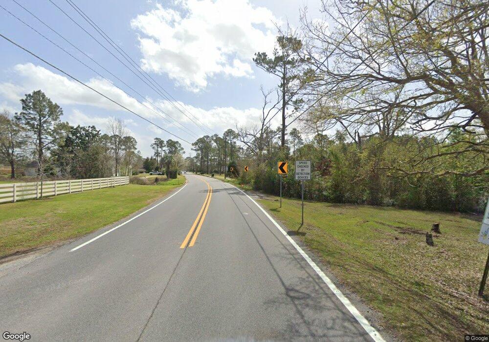
5350 Us Highway 41 N Hahira, GA 31632
Estimated Value: $165,000 - $286,000
3
Beds
2
Baths
1,643
Sq Ft
$142/Sq Ft
Est. Value
About This Home
This home is located at 5350 Us Highway 41 N, Hahira, GA 31632 and is currently estimated at $233,682, approximately $142 per square foot. 5350 Us Highway 41 N is a home located in Lowndes County with nearby schools including Hahira Elementary School, Hahira Middle School, and Lowndes High School.
Ownership History
Date
Name
Owned For
Owner Type
Purchase Details
Closed on
Aug 11, 2021
Sold by
Miley Patricia Ann Mcgill Trust
Bought by
Browning Capital Management Llc
Current Estimated Value
Purchase Details
Closed on
Feb 11, 2013
Sold by
Miley Patricia Ann Mcgill
Bought by
Miley Patricia Ann Mcgill Trust
Purchase Details
Closed on
Oct 29, 2008
Sold by
Miley James Jr #1
Bought by
Miley Patricia Ann Mcgill
Create a Home Valuation Report for This Property
The Home Valuation Report is an in-depth analysis detailing your home's value as well as a comparison with similar homes in the area
Home Values in the Area
Average Home Value in this Area
Purchase History
| Date | Buyer | Sale Price | Title Company |
|---|---|---|---|
| Browning Capital Management Llc | $275,000 | -- | |
| Miley Patricia Ann Mcgill Trust | -- | -- | |
| Miley Patricia Ann Mcgill | -- | -- |
Source: Public Records
Tax History Compared to Growth
Tax History
| Year | Tax Paid | Tax Assessment Tax Assessment Total Assessment is a certain percentage of the fair market value that is determined by local assessors to be the total taxable value of land and additions on the property. | Land | Improvement |
|---|---|---|---|---|
| 2024 | $715 | $29,968 | $4,326 | $25,642 |
| 2023 | $715 | $29,684 | $4,042 | $25,642 |
| 2022 | $714 | $25,602 | $4,042 | $21,560 |
| 2021 | $745 | $25,602 | $4,042 | $21,560 |
| 2020 | $692 | $25,573 | $4,013 | $21,560 |
| 2019 | $699 | $25,573 | $4,013 | $21,560 |
| 2018 | $706 | $25,573 | $4,013 | $21,560 |
| 2017 | $707 | $25,208 | $3,648 | $21,560 |
| 2016 | $709 | $25,208 | $3,648 | $21,560 |
| 2015 | $679 | $25,208 | $3,648 | $21,560 |
| 2014 | $758 | $27,560 | $6,000 | $21,560 |
Source: Public Records
Map
Nearby Homes
- 5670 Barber Cir
- 5388 Hall Rd
- 4958 Bethany Dr
- 6622 Brookridge Dr
- 6453 Meadow Creek Rd
- 6628 Brookridge Dr
- 4843 Ben Salem Way
- 5460 Union Rd
- 1055 Angie Ln
- 1064 Angie Ln
- 1063 Angie Ln
- The Ozark Plan at Reynolda Place
- The Walker Plan at Reynolda Place
- The Beau Plan at Reynolda Place
- The Belfort Plan at Reynolda Place
- 1601 Beverly Ln
- The Belfort Plan at Phillips Place
- The Galen Plan at Phillips Place
- The Cali Plan at Phillips Place
- The Lakeside Plan at Phillips Place
- 5369 Old Us 41 N
- 5304 Old Us 41 N
- 5300 Bethany Dr
- 5300 Bethany Dr
- 5327 Old Us 41 N
- 5408 Old Us 41 N
- 5407 Old Us 41 N
- 5316 Bethany Dr
- 5261 Old Us 41 N
- 5329 Old Us 41 N
- 5295 Old Us 41 N
- 5315 Bethany Dr
- 5239 Old Us 41 N
- 5439 Old Us 41 N
- 5219 Old Us 41 N
- 5572 Thompson Rd
- 5190 Old Us 41 N
- 5273 Bethany Dr
- Lot #2 Thompson Rd
- 5576 Thompson Rd
