53536 Brookie Way La Pine, OR 97739
Estimated Value: $684,251 - $838,000
3
Beds
2
Baths
2,183
Sq Ft
$352/Sq Ft
Est. Value
About This Home
This home is located at 53536 Brookie Way, La Pine, OR 97739 and is currently estimated at $768,313, approximately $351 per square foot. 53536 Brookie Way is a home located in Deschutes County with nearby schools including La Pine Elementary School, La Pine Middle School, and La Pine Senior High School.
Ownership History
Date
Name
Owned For
Owner Type
Purchase Details
Closed on
Jul 12, 2017
Sold by
Donzelli Mark C and Donzelli Colleen M
Bought by
Donzelli Mark C and Donzelli Colleen M
Current Estimated Value
Home Financials for this Owner
Home Financials are based on the most recent Mortgage that was taken out on this home.
Original Mortgage
$297,939
Interest Rate
3.89%
Mortgage Type
New Conventional
Purchase Details
Closed on
Aug 24, 2005
Sold by
Donzelli Mark C and Donzelli Colleen M
Bought by
Donzelli Mark C and Donzelli Colleen M
Create a Home Valuation Report for This Property
The Home Valuation Report is an in-depth analysis detailing your home's value as well as a comparison with similar homes in the area
Home Values in the Area
Average Home Value in this Area
Purchase History
| Date | Buyer | Sale Price | Title Company |
|---|---|---|---|
| Donzelli Mark C | -- | Title Source Inc | |
| Donzelli Mark C | -- | Title Source Inc | |
| Donzelli Mark C | -- | -- |
Source: Public Records
Mortgage History
| Date | Status | Borrower | Loan Amount |
|---|---|---|---|
| Closed | Donzelli Mark C | $297,939 |
Source: Public Records
Tax History Compared to Growth
Tax History
| Year | Tax Paid | Tax Assessment Tax Assessment Total Assessment is a certain percentage of the fair market value that is determined by local assessors to be the total taxable value of land and additions on the property. | Land | Improvement |
|---|---|---|---|---|
| 2025 | $4,953 | $302,910 | -- | -- |
| 2024 | $4,746 | $294,090 | -- | -- |
| 2023 | $4,641 | $285,530 | $0 | $0 |
| 2022 | $4,120 | $269,150 | $0 | $0 |
| 2021 | $4,145 | $261,320 | $0 | $0 |
| 2020 | $3,925 | $261,320 | $0 | $0 |
| 2019 | $3,816 | $253,710 | $0 | $0 |
| 2018 | $3,707 | $246,330 | $0 | $0 |
| 2017 | $3,610 | $239,160 | $0 | $0 |
| 2016 | $3,438 | $232,200 | $0 | $0 |
| 2015 | $3,344 | $225,440 | $0 | $0 |
| 2014 | $3,239 | $218,880 | $0 | $0 |
Source: Public Records
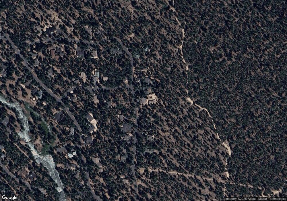
Map
Nearby Homes
- 14375 Brown Trout Way Unit Lot 25
- 14367 Brown Trout Way Unit Lot 24
- 53582 Brookie Way
- 53478 Kokanee Way Unit Lot 13
- 53596 Brookie Way
- 53514 Wildriver Way
- 53520 Wildriver Way
- 14177 Whitewater Loop
- 14213 Clearwater
- 14215 Stillwater Ln
- 52926 Shady Ln
- 52170 Ponderosa Way
- 53827 Yoho Dr
- 15690 Cornell Dr
- 52328 Elderberry Ct
- 15660 Woodgreen Ct
- 15675 Twin Dr
- 52900 Sunrise Blvd
- 52875 Rainbow Dr
- 15575 Pinedale Ct
- 53546 Brookie Way
- 53528 Brookie Way
- 53556 Brookie Way
- 14375 Brown Trout Way
- 53522 Brookie Way
- 53527 Brookie Way
- 53560 Brookie Way
- 14367 Brown Trout Way
- 14374 Brown Trout Way
- 53523 Brookie Way
- 53510 Brookie Way
- 53518 Brookie Way
- 53583 Brookie Way
- 53586 Brookie Way
- 53589 Brookie Way
- 53566 Brookie Way
- 14361 Brown Trout Way
- 53513 Brookie Way
- 14360 Brown Trout Way
- 53570 Brookie Way