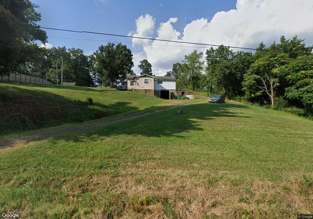
5355 State Route 26 Marietta, OH 45750
Estimated Value: $124,363 - $178,000
3
Beds
1
Bath
864
Sq Ft
$174/Sq Ft
Est. Value
About This Home
This home is located at 5355 State Route 26, Marietta, OH 45750 and is currently estimated at $150,341, approximately $174 per square foot. 5355 State Route 26 is a home located in Washington County with nearby schools including Marietta High School.
Ownership History
Date
Name
Owned For
Owner Type
Purchase Details
Closed on
Dec 6, 2018
Bought by
Robinson Stacy R
Current Estimated Value
Purchase Details
Closed on
Aug 22, 2011
Sold by
Robinson Stacy R and Scott Missi A
Bought by
Robinson Stacy R and Scott Missi A
Purchase Details
Closed on
Jan 3, 2007
Sold by
Hasley Robin Elizabeth
Bought by
Robinson Stacy R and Scott Missi A
Home Financials for this Owner
Home Financials are based on the most recent Mortgage that was taken out on this home.
Original Mortgage
$4,000
Interest Rate
6.24%
Mortgage Type
Seller Take Back
Purchase Details
Closed on
Dec 12, 2000
Purchase Details
Closed on
Dec 11, 2000
Bought by
Hasley Robin Elizabeth
Purchase Details
Closed on
Aug 19, 1996
Bought by
Hasley Leland E
Create a Home Valuation Report for This Property
The Home Valuation Report is an in-depth analysis detailing your home's value as well as a comparison with similar homes in the area
Home Values in the Area
Average Home Value in this Area
Purchase History
| Date | Buyer | Sale Price | Title Company |
|---|---|---|---|
| Robinson Stacy R | -- | -- | |
| Robinson Stacy R | -- | None Available | |
| Robinson Stacy R | $45,000 | Attorney | |
| -- | -- | -- | |
| Hasley Robin Elizabeth | -- | -- | |
| Hasley Leland E | -- | -- |
Source: Public Records
Mortgage History
| Date | Status | Borrower | Loan Amount |
|---|---|---|---|
| Previous Owner | Robinson Stacy R | $4,000 |
Source: Public Records
Tax History Compared to Growth
Tax History
| Year | Tax Paid | Tax Assessment Tax Assessment Total Assessment is a certain percentage of the fair market value that is determined by local assessors to be the total taxable value of land and additions on the property. | Land | Improvement |
|---|---|---|---|---|
| 2024 | $626 | $26,900 | $9,860 | $17,040 |
| 2023 | $649 | $26,900 | $9,860 | $17,040 |
| 2022 | $627 | $26,900 | $9,860 | $17,040 |
| 2021 | $515 | $22,730 | $8,340 | $14,390 |
| 2020 | $518 | $22,730 | $8,340 | $14,390 |
| 2019 | $516 | $22,730 | $8,340 | $14,390 |
| 2018 | $433 | $20,100 | $6,950 | $13,150 |
| 2017 | $432 | $20,100 | $6,950 | $13,150 |
| 2016 | $1,362 | $20,100 | $6,950 | $13,150 |
| 2015 | $381 | $18,280 | $7,110 | $11,170 |
| 2014 | $1,241 | $18,280 | $7,110 | $11,170 |
| 2013 | $337 | $18,280 | $7,110 | $11,170 |
Source: Public Records
Map
Nearby Homes
- 4940 State Route 26 Unit 589
- 3205 Ohio 26
- 1320 Caywood Rd
- 470 County House Ln
- 470 & 480 County House Ln
- 1585 County Road 9
- 169 Morris Loop Rd
- 149 Rauch Dr
- 0 Ohio 26 Unit LotWP001 23010810
- 106 Briargate Dr
- 0 0 State Route 26 Rear Oh
- 102 Skyvue Cir
- 145 Cornerstone Dr
- Lot 1 Brooks Rd
- 902 Pike St
- 904 Pike St
- 303 1/2 Ingleside Ave
- 150 Wells Ave
- 3740 Ohio 26
- 15999 Ohio 26
- 5355 Ohio 26
- 5325 State Route 26
- 5390 State Route 26
- 5315 State Route 26
- 5310 State Route 26
- 5290 State Route 26
- 5275 State Route 26
- 5245 State Route 26
- 5510 State Route 26
- 5215 State Route 26
- 5195 State Route 26
- 5250 State Route 26
- 5185 State Route 26
- 40 Morris Rd
- 60 Morris Rd
- 12 Morris Rd
- 5680 Ohio 26
- 5645 State Route 26
- 5645 State Route 26
- 5785 State Route 26