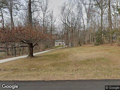
5356 Wade Ln Woodbridge, VA 22192
Turkey Branch NeighborhoodEstimated Value: $606,000 - $703,000
4
Beds
3
Baths
3,656
Sq Ft
$182/Sq Ft
Est. Value
About This Home
This home is located at 5356 Wade Ln, Woodbridge, VA 22192 and is currently estimated at $666,630, approximately $182 per square foot. 5356 Wade Ln is a home located in Prince William County with nearby schools including Signal Hill Elementary School, Parkside Middle School, and Osbourn Park High School.
Ownership History
Date
Name
Owned For
Owner Type
Purchase Details
Closed on
Jul 29, 1997
Sold by
Moore Curtis M and Moore Allyson M
Bought by
Dunne Edward F and Dunne Vicky L
Current Estimated Value
Home Financials for this Owner
Home Financials are based on the most recent Mortgage that was taken out on this home.
Original Mortgage
$162,400
Outstanding Balance
$29,588
Interest Rate
7.7%
Mortgage Type
New Conventional
Estimated Equity
$625,179
Create a Home Valuation Report for This Property
The Home Valuation Report is an in-depth analysis detailing your home's value as well as a comparison with similar homes in the area
Home Values in the Area
Average Home Value in this Area
Purchase History
| Date | Buyer | Sale Price | Title Company |
|---|---|---|---|
| Dunne Edward F | $203,000 | -- |
Source: Public Records
Mortgage History
| Date | Status | Borrower | Loan Amount |
|---|---|---|---|
| Closed | Dunne Edward F | $64,000 | |
| Open | Dunne Edward F | $162,400 |
Source: Public Records
Tax History Compared to Growth
Tax History
| Year | Tax Paid | Tax Assessment Tax Assessment Total Assessment is a certain percentage of the fair market value that is determined by local assessors to be the total taxable value of land and additions on the property. | Land | Improvement |
|---|---|---|---|---|
| 2024 | $5,901 | $593,400 | $189,400 | $404,000 |
| 2023 | $5,975 | $574,200 | $181,700 | $392,500 |
| 2022 | $6,344 | $563,300 | $181,700 | $381,600 |
| 2021 | $5,832 | $477,900 | $165,200 | $312,700 |
| 2020 | $7,296 | $470,700 | $165,200 | $305,500 |
| 2019 | $7,121 | $459,400 | $165,200 | $294,200 |
| 2018 | $5,243 | $434,200 | $156,000 | $278,200 |
| 2017 | $5,074 | $411,400 | $147,300 | $264,100 |
| 2016 | $5,165 | $423,100 | $151,700 | $271,400 |
| 2015 | $5,234 | $425,500 | $151,700 | $273,800 |
| 2014 | $5,234 | $419,700 | $148,800 | $270,900 |
Source: Public Records
Map
Nearby Homes
- 5284 Davis Ford Rd
- 5017 Cannon Bluff Dr
- 5214 Davis Ford Rd
- 5030 Melissa Place
- 4729 Grand Masters Way
- 5015 Little Martha Way
- 4904 Charmed Ct
- 12975 Queen Chapel Rd
- 12854 Hyannis Ln
- 5660 Hoadly Rd
- 4903 Lanyard Ln
- 4906 Dashiell Place
- 12761 Stone Lined Cir
- 12973 Mandolin Ln
- 11787 Chanceford Dr
- 12446 Pfitzner Ct
- 4480 Weejun Loop
- 12508 Southington Dr
- 6020 Omega Ln
- 6231 Wild Turkey Ridge Place
